Heavy snow expected Friday through Sunday morning for much of NE Colorado. Warnings for Mountains/Denver. #cowx pic.twitter.com/MD4YrmdyjD
The National Weather Service has issued a winter storm warning for Denver from midnight Friday until 6 a.m. Sunday. NWS Meteorologist Kari Bowen says we shouldn't focus on the amount of snow that could fall -- which in some places could be measured in feet. This storm's really more about length.
"We know people are very interested in amounts only because it does make sense in their head that, you know, 14 inches is a lot," she said Friday. "But since it's a prolonged event, it's going to cause some impact to people's weekend plans, so we just want people to come to think about that."
- Forecast: NWS Maps | Twitter
- Airport: DIA Flight Status | Twitter
- Road Conditions: CoTrip | CDOT Twitter
- Transit status: RTD Rider Alerts | RTD Twitter
- Xcel: Facebook Updates | Outage Map
That message seems to have reached Denver International Airport. Several airlines are already offering waivers and flight rescheduling in case of possible delays and flight cancelations this weekend.
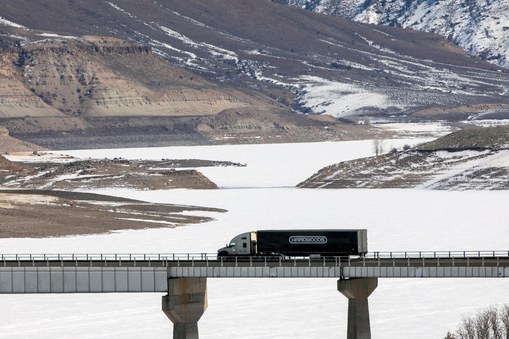
Snow has already started to fall in the mountains, where the storm is expected to dump up to four feet. Closer to the foothills, accumulations of 10 to 16 inches are expected. Around metro Denver area, expect 8 to 14 inches.
Snowfall to continue in the mountains with deteriorating conditions. Caution is advised if traveling. #cowx pic.twitter.com/HcGEWZrRaL
What kind of snow will fall?
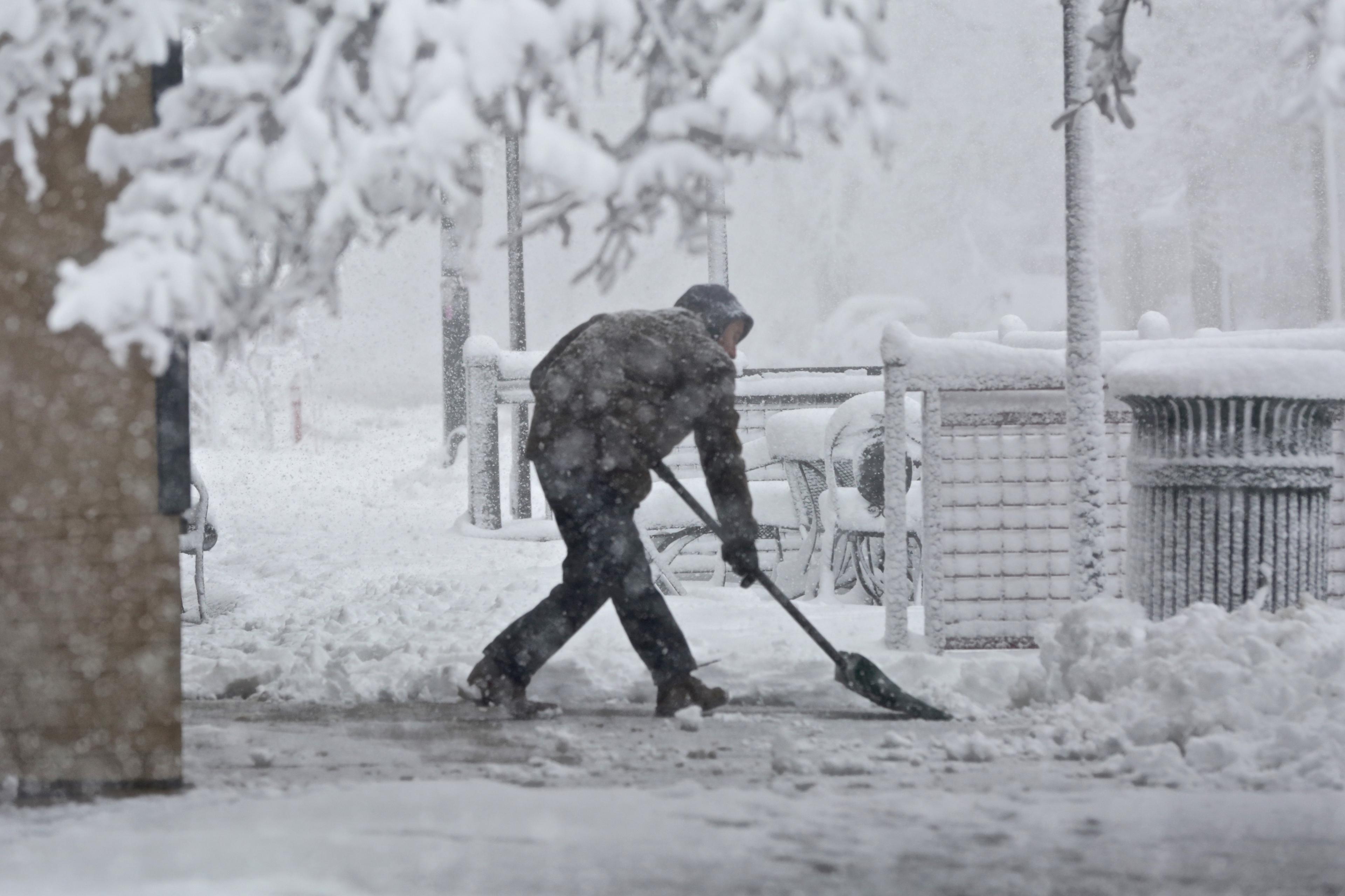
"It's going to be very wet snow so a lot of the numbers that you hear might not be what you measure on the ground because it's melting. Now for the Denver metro area, we are looking at anywhere from possibly 10 to 12 inches.
It'll be a rain snow mix kind of starting out now as the atmosphere cools it will turn more of frozen precipitation. It's still going to be a pretty wet snow -- I know in December and in November, a lot of people are used to that nice fluffy light snow, but this will be a little bit of the heavier, unfortunately possibly tree-branch breaker, type of snow."
Is there any chance that this storm will fizzle a bit?
"We do a consensus of different [weather] models and we take all this into account and we come out with an educated average of sorts. So this is pretty much what we expect at this point. Could the numbers change? Yes. But we what we really want people to understand is that this is going to be a prolonged rain-snow event that will at times [bring] heavy snow. That could cause some impact in terms of road conditions, trees, power, so we just want people to be prepared."
When should we expect the storm to be finished?
"Probably Monday. A lot of the warnings are going to be ending Sunday morning, but that's when the snow will start to taper off in intensity. We still might see some snow on Sunday, but won't be as heavy as it is on Saturday. And then the storm will move out on Monday.
When should we expect warming temperatures?
"Tuesday and Wednesday, we are looking at increasing temperatures during the day and a drying period. There's still going to be some snow in the mountains on those days, but by Wednesday, we're looking at highs in the sixties. So with that heavy water content hopefully, it'll be out of there pretty quickly."