

Colorado’s pattern in late spring sometimes goes like this: Mornings filled with sunshine, high temperatures and clear blue skies followed by dark, moody skies filled with thunder, hail and rain in the afternoons.
Pamela Evenson, a meteorologist with the National Weather Service in Colorado Springs, said don’t expect anything different today.
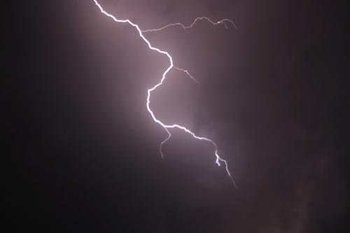
“We have a really moist flow today and that's going to result in widespread showers and some thunderstorms, especially from the I-25 corridor and westward today,” Evenson said.
While this might mean just canceling outdoor plans for people across the front range, for southeastern Colorado, there are serious flood concerns. After last year’s fire season — among the worst in Colorado history — heavy rain could threaten newer burn scars.
“Hayden Pass, Junkins, Spring,” Evenson said. “And that’s why we have a flash flood watch out for this afternoon into the early evening hours. Just in case some of that heavier rainfall moves over those very vulnerable burn scars.”
The term “heavy” is ambiguous and can change with the terrain. Evenson said they can’t forecast the number of inches that will fall but rather predict the rate of that rainfall. Heavy is typically one-to-two inches of rainfall an hour and that can cause problems on any terrain.
For vulnerable areas like burn scars that threshold is much lower. Two or three tenths of an inch can cause flash flooding and debris flows. So while today’s storm won’t be particularly precipitous, because rainfall will be so widespread there is a higher chance that rain will hit those burn scars. NWS is urging extreme caution by issuing warnings for those areas.
“People who live in areas that can be affected by flash flooding or debris flows should keep an eye to the sky today,” Evenson said. “And make sure that you know where you would go if flash flooding does occur.”
This afternoon and evening are the highest period of concern, but Evenson added that the weather forecast does look drier for later this week.
“They're still going to be a chance for isolated to scattered showers and thunderstorms across much of the state, especially over and near the mountain areas,” Evenson said. “But, it also starts to get a little bit warmer for Thursday, Friday and especially Saturday.”
That doesn’t mean that Colorado’s wet weather woes are over yet. The Climate Prediction Center’s (CPC) 30-day outlook calls for above-average chances of a wet June throughout Colorado, as a soggy spring looks to potentially translate into a wet and stormy start to the summer season.