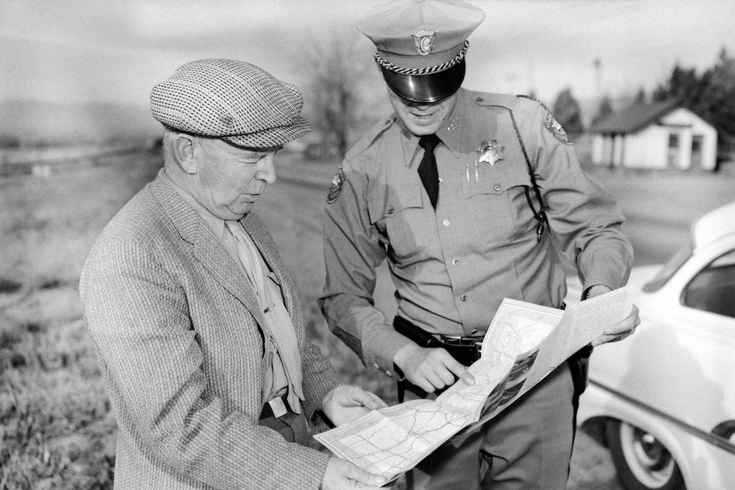

Colorado State Patrol is increasing its watch along the Western Slope, where it says the roads have become the most dangerous place to drive in Colorado during July.
As of July 23, Colorado has had a total of 311 deadly crashes, according to CSP's Fatality Analysis Reporting System. Of those deaths, four have been in the agency's Troop 5C, which covers Delta, San Miguel, Gunnison, Ouray, Hinsdale and Montrose counties. The count includes vehicle, motorcycle and pedestrian fatalities — the maps below do not include pedestrian deaths, however.
In 2017, 630 died on Colorado's roads.
Sgt. Chris Balenti of the State Patrol said the increase in fatal crashes during this time of year can be due to tourism and more traffic on roadways, especially motorcyclists. Of the 311 fatal crashes up to this point in 2018, 45 were motorcyclists.
“Many of these fatalities that we experience are motorcycles, which for whatever reason just simply run off roads and people get killed,” he said. “On a motorcycle you have to be doubly aware of what’s going on around you and people get distracted by the scenery and they run off the roads.”
Fatal crashes are a "quality of life issue," said CSP Chief Matt Packard in an earlier news conference in Montrose.
“People want to survive. People want to be happy and enjoy what personally is the most beautiful part of the state,” he said. “A tour bus has roughly 50 people. And now envision that bus driving off the cliff. And then one more. And then one more. And then one more. And then another one. And then another one. That’s how many people have died in Colorado in a car crash. That is not acceptable.”
State troopers are stepping up their patrols in the six counties and will focus on seatbelt use, speeding, and impaired and distracted driving. Balenti said troopers plan to implement all-work days, where during at least two days this month, every trooper and every supervisor will be working in areas that have been identified as highly fatal between 6 and 3 a.m.
Balenti said CSP’s data shows the following areas have been most dangerous:
Highway 145 near the Telluride Lizard Head Pass; Highway 50, near the Little Blue Pass and the Little Blue Canyon area; Highway 550 on Red Mountain Pass; Highway 50 in the Monarch Pass area.