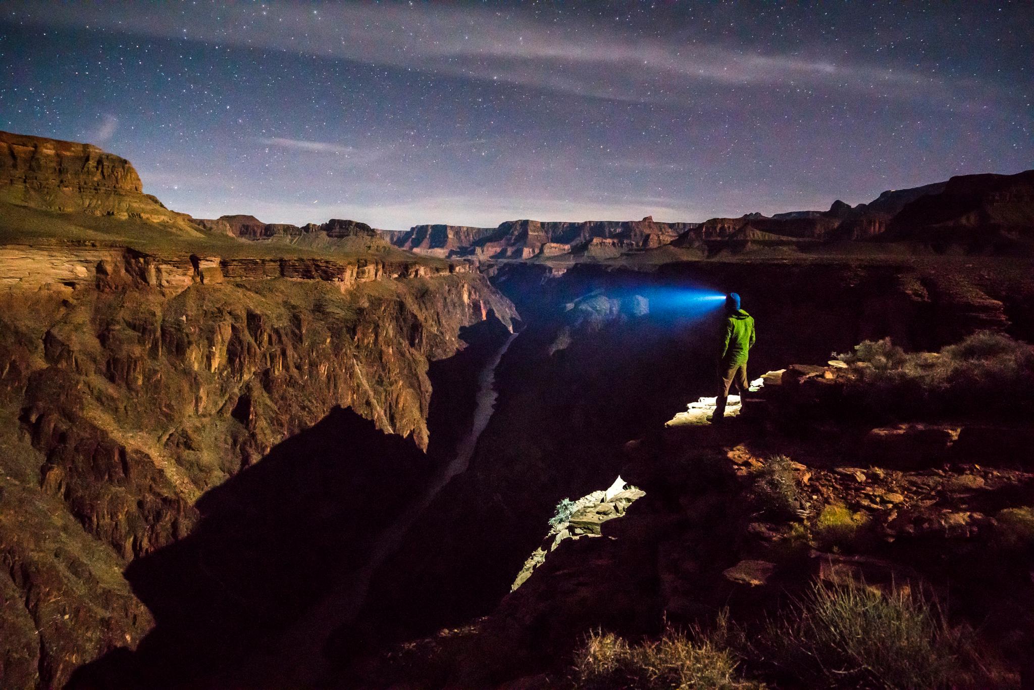

Millions of tourists visit the Grand Canyon in Arizona every year. But very few have ever walked its entire length. In fact, more people have set foot on the surface of the moon than have completed this hike.
The grueling trek involves clinging to narrow ledges and steep cliffs, bushwhacking through dense thorny brush and searching for water every day over the course of more than 700 miles. Pete McBride, a Basalt photographer, and writer Kevin Fedarko of Flagstaff, New Mexico made this journey. They’re among this year’s ten National Geographic Adventurers.
Their goal was to document the parts of the canyon between the river and the rim that most people never see and bring attention to the development that's threatening the canyon and river.
One of these threats is the effects of increasing tourism in the canyon just outside the park boundaries. The number of boats on the river and helicopter flights has exploded in the Grand Canyon West development. McBride set up a camera in this area to create time lapse imagery showing the “swarm of helicopters and boats” over an eight hour period. Both he and Fedarko say that this activity is destroying one of the canyon’s most valuable assets: silence.

Explore National Geographic's interactive feature on McBride and Fedarko's trek through the Grand Canyon.
Related: