

Update: We're following the storm all day right here.
Hunker Down.
Meteorologists predict the storm slated to hit the Denver metro area Wednesday will be one of the most intense storms ever seen in Colorado. That’s right, ever.
The National Weather Service issued a blizzard warning along the Front Range and into northeastern Colorado on Monday that’s expected to last until Thursday. The Western Slope and southern part of the state is under a Winter Storm Warning.
“This is going to be one of the lower systems, lower in terms of pressure, that we’ve seen here in Colorado in a very long time, if not ever,” said meteorologist Kari Bowen. “It’s going just contribute to the intensification of what we’re going to expect in terms of wind and snow.”
"Please cancel any travel plans Wednesday afternoon and evening," the National Weather Service said on Twitter Tuesday afternoon, a full day before the snow is expected to start falling.
The pressure will drop about 23 millibars in just 24 hours, causing a more intense storm, Bowen said. That is how we define one of the most creatively named storms in the world: the bomb cyclone. Colorado’s not seen a storm of that rapid intensity, perhaps ever, Bowen says.
“Usually in meteorological terms, we call it a bomb cyclone or bombogenesis when we see such rapid lowering of pressure,” she said. “You can see this typically with cyclones or other hurricane type events. It's just a rapid intensification of this system.”
The National Oceanic and Atmospheric Administration says it happens "when a cold air mass collides with a warm air mass, such as air over warm ocean waters."
Bowen said Coloradans should expect lots of variation with the storm depending on where in the state they’re at.
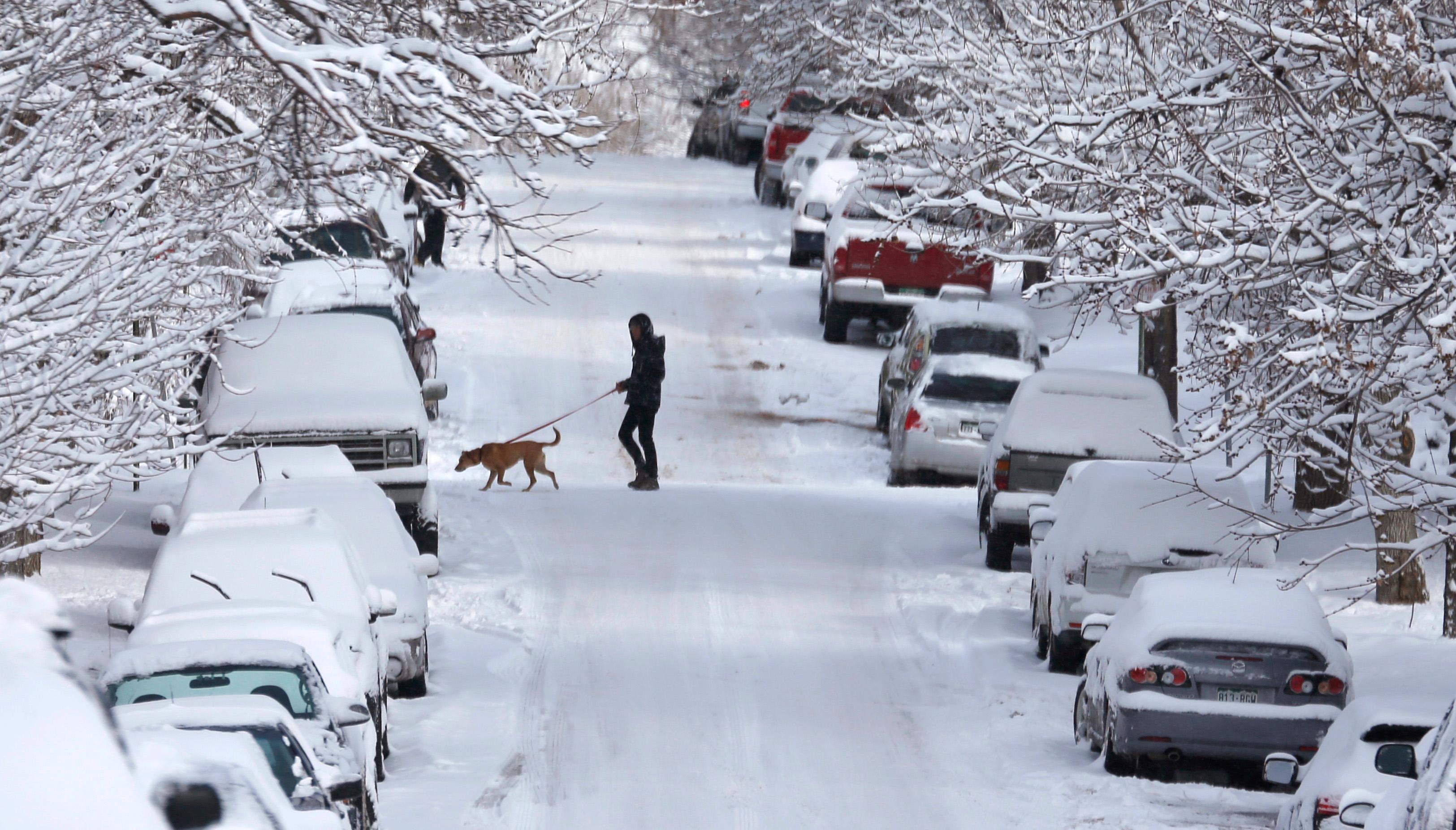
Only 2-4 inches of snow is expected along the Front Range. But Bowen said 40- and 50-mile-per hour wind gusts will cause snowdrifts and make it difficult to see.
Denver International Airport and downtown Denver are expected to get between 6 and 8 inches of snow. The Eastern Plains will see blizzard conditions.
“We’re going to see possibly near-zero visibility over the Eastern Plains,” she said. “Lots of blowing snow, lots of high winds, drifting snow. So pretty hazardous conditions.”
The southern mountains will initially get snow, and rain is expected along the Front Range Wednesday morning, Bowen said. The worst conditions will start around 11 a.m. Wednesday, intensify throughout the day and continue into the evening. Bowen said people should postpone any travel.
“There's going to be a lot of variability with snowfall amounts but the impacts will be extreme and we want people to pay attention to that,” she said.
We’ll update throughout the day. Sign up for our free email newsletter for our reporting on the storm and everything else happening in Colorado. Stay safe out there!