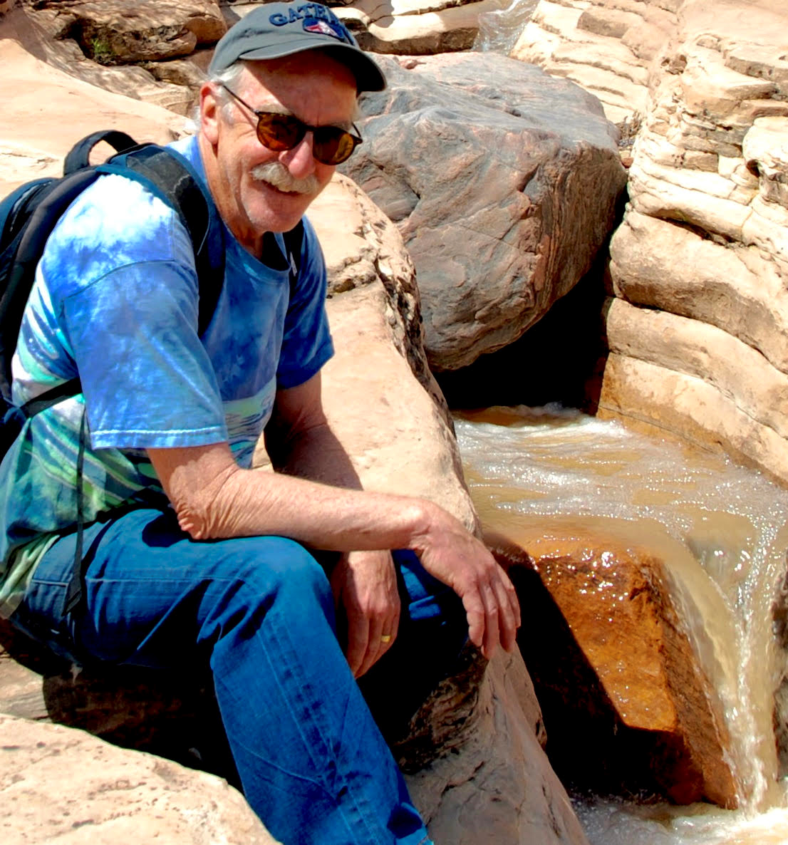
Colorado's Western Slope is rich in backcountry hikes. Knowing where to find them -- and what to expect on a trail -- just got easier with a new guidebook by Grand Junction outdoor writer Bill Haggerty. The Falcon Guides "Hiking Colorado's Western Slope" has details on more than 45 trails in Western Colorado.
Related:
- New Book Highlights Colorado's Beers, Hikes And History
- Five Great Places To Hike, Bike And Raft In Colorado This Summer
It doesn't have just the standard route descriptions. Haggerty includes historical tidbits, geological information, suitability for canines, and observations gleaned from a lifetime of hiking in Colorado. His trail descriptions incorporate the joy he finds in hiking -- feelings spelled out in the book's forward:
"I love hiking in Western Colorado for the cool mountain air and bright desert heat, for the diminutive roar of rushing high-mountain brooks, and the vibrant colors of desert wildflowers in the spring... the way the light dances across the canyons, the alpenglow on the peaks at sunset, the smell of fresh pine after a rainstorm, pupils dilated, skin tingling, all the senses alive and contributing to the feeling of wonder that Mother Nature has provided."
Haggerty says he often wonders whether publicizing hikes like these means they'll get too crowded.
"Yes, that's been a problem about writing for the outdoors since 1976 when I had my first column about the Black Canyon. And I've really wrestled with it for years," he said. "But my main issue remains that if you don't write about it, if you don't get people out there if they don't understand what they have, it will be ignored, and then taken advantage of. And somebody else will take it and it'll be gone from us."
"When I first wrote about the Black Canyon they were thinking about putting another damn down below the canyon and inundating one of the most spectacular places on Earth," he said. I just couldn't stand by and watch that happen… Now did I drag millions of hikers into the woods because of that? You know I went back to the Black Canyon last year, and went in there a couple weeks ago. There's nobody down there. I was still the only one there. So I don't think I've really over run it."
Haggerty's book comes out just as the Colorado Trail Explorer - a comprehensive online statewide trail map - goes live. That online resource is part of Gov. John Hickenlooper's Colorado the Beautiful Initiative. The Explorer maps include more than 39,000 miles of trails across the state, including urban paths and hiking, biking and motorized trails in state parks and on federal lands.
Haggerty's Top Five Hikes In Western Colorado
Storm King Fourteen Memorial Hike: This nearly four-mile trail takes hikers through some rugged and nasty terrain on a strenuous climb up to where fourteen firefighters died in a wildfire in 1994. The trail that ends at a memorial for the firefighters has been left in rough shape to remind hikers of the challenging conditions wildfire firefighters face. it isn't the prettiest hike in the book. In fact, parts of it overlook I-70, but it is an important hike for remembering the firefighters who lost their lives.
Mee Canyon: With its arches, windows, spires and alcoves, this 5.5 mile trail is one of the most exciting desert-country hikes. This one is not for the inexperienced because it has steep descents on sandstone and exposed cliffs. Haggerty also recommends some crawling and shimmying for brave hikers wanting a view of one of the largest natural alcoves on the Colorado Plateau.

Ice Lakes Trail: "Simply stunning" is Haggerty's description for this one. This out-and-back hike in the San Juan Mountains is 6.8 to 8.6 miles, depending on how many lakes you visit. A steep climb up to the turquoise waters takes hikers past a half-dozen waterfalls that originate on small glaciers and snow patches on massive granite hillsides. Five 13,000+ peaks jut into the heavens and, in season, wildflowers blanket fields.
Blue Lakes Trail: "Stunning" is also Haggerty's word for this 6.6 to 8.7 mile out-and-back trail in the San Juan Mountains. The steep trail climbs to three alpine lakes in the shadow of Mt. Sneffels and Dallas and Gilpin peaks. Haggerty urges hikers to tread lightly on this trail, as well as Ice Lakes, because of their popularity.
Sand Canyon: This trail in Canyons of the Ancients National Monument is a 6.5 mile one-way hike that cuts through some of the richest ancestral Puebloan ruins in the southwest. Cliff houses dot the rock walls along the trail. The Sand Canyon Pueblo at the upper trailhead is three times the size of the largest pueblo in Mesa Verde National Park. It has been excavated and backfilled in the past so it is mainly piles of rubble, but the breathtaking scope of the pueblo is still outlined in rock.
More Hikes Haggerty Recommended To Colorado Matters
Oh-Be-Joyful: This relatively easy trail above Crested Butte is a wildflower wonderland in summer. The 9-mile out-and-back hike climbs to one of the 150 lakes in Colorado named Blue Lake. This trail was named for the fact that miners used to race joyfully down the trail to reach the brothels in town.
Monument Canyon Trail: This trail in the Colorado National Monument winds through the iconic rock sculptures in this monument on the edge of Grand Junction - Kissing Couple, Indpendence Monument and the Coke Ovens. Haggerty recommends leaving a vehicle at each end of the 6-mile hike. Not in the book, but nearby in, and the edge of, the monument, are Corkscrew and Liberty Cap trails. The appropriately named Corkscrew climbs three miles through a canyon. Liberty Cap - a local's favorite - has three access points that climb to a rock "cap." These climbs, ranging from two to seven miles, all have steep sections in the beginning.
Ute Park and Bobcat trails: These two trails into the Black Canyon of the Gunnison near Montrose are both challenging but offer some of the most jaw-dropping views in the state. The rewards on reaching the Gunnison River at canyon's bottom are excellent flyfishing, rock climbing, whitewater rafting and spectacular geology. Ute Park is 9 miles out-and-back and drops into the Gunnison Gorge National conservation Area. Bobcat is 2.2 miles and so steep in places there is a rope to assist hikers.
Powderhorn Lakes: This trail in the Powderhorn Wilderness Area near Lake City is an 8 to nearly 10-mile out-and-back hike. It takes hikers into one of the largest unbroken expanses of alpine tundra in the country. It ends at pristine lakes that sit below Cannibal Plateau - the site of 'cannibal' Alferd Packer's infamous meals while snowed-in to these rugged mountains.
Piedra River Trail: This trail near Pagosa Springs is a place to spot river otters that were released here in the 1970's and '80s. The trail is 9.5 miles out and back, and the first two miles are easy before moderate climb. The trail climbs through scenic Ponderosa pine, aspen, wild roses and oak before reaching the confluence of Sand Creek and the Piedra River.


