Decalibron

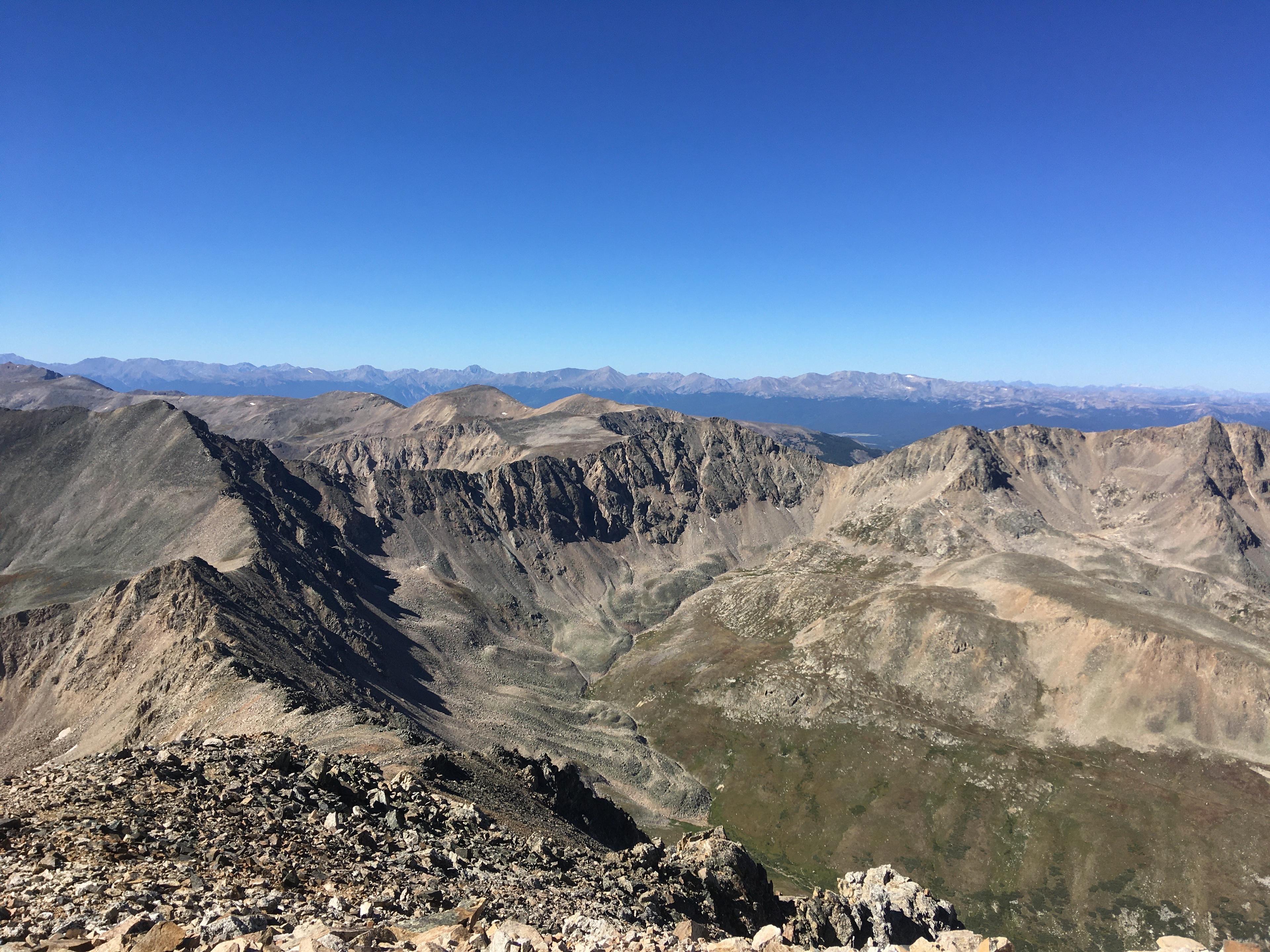
The Decalibron ... neither an ancient Greek sport nor a machine of science fiction, it’s a hiking trail that gets its name from the first syllables of Mounts Democrat, Cameron, Lincoln and Bross ... fourteeners connected by a single ridge. The Decalibron loop is only 7 miles long but encompasses more than 3100 feet of elevation. Experienced hikers can use the Decalibron to bag all four peaks in a single day. Mount Bross may be the hardest part. The trail is steep, exposed and narrow…precarious with loose, slippery stones, or scree. Slipping and sliding is a given. Part of the land is private, so hikers use the bypass trail just below Bross’ actual summit. Thanks to a nonprofit, public access is secured for all who want to take on the Decalibron.

About Colorado Postcards
Colorado Postcards are snapshots of our colorful state in sound. They give brief insights into our people and places, our flora and fauna, and our past and present, from every corner of Colorado. See more postcards.