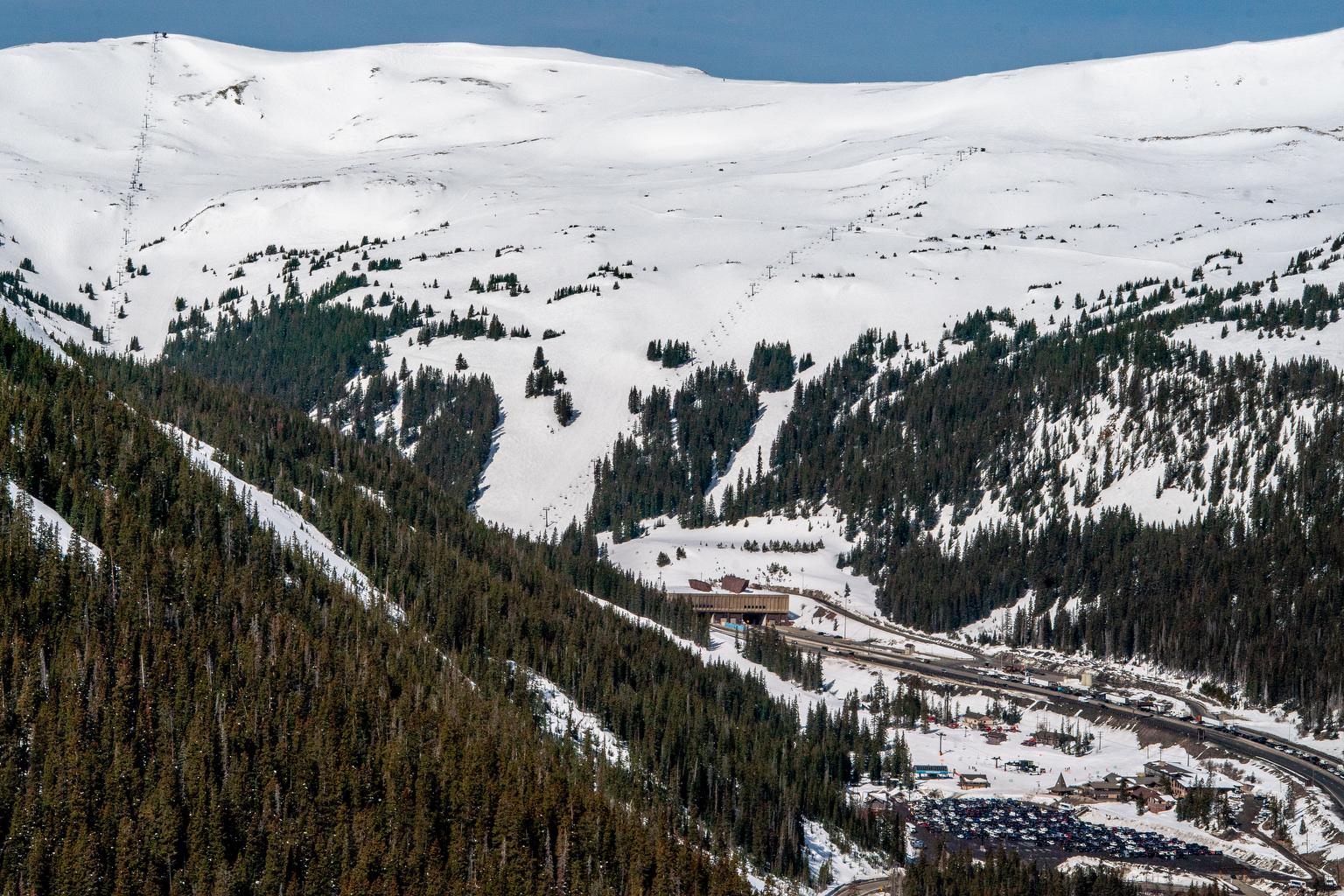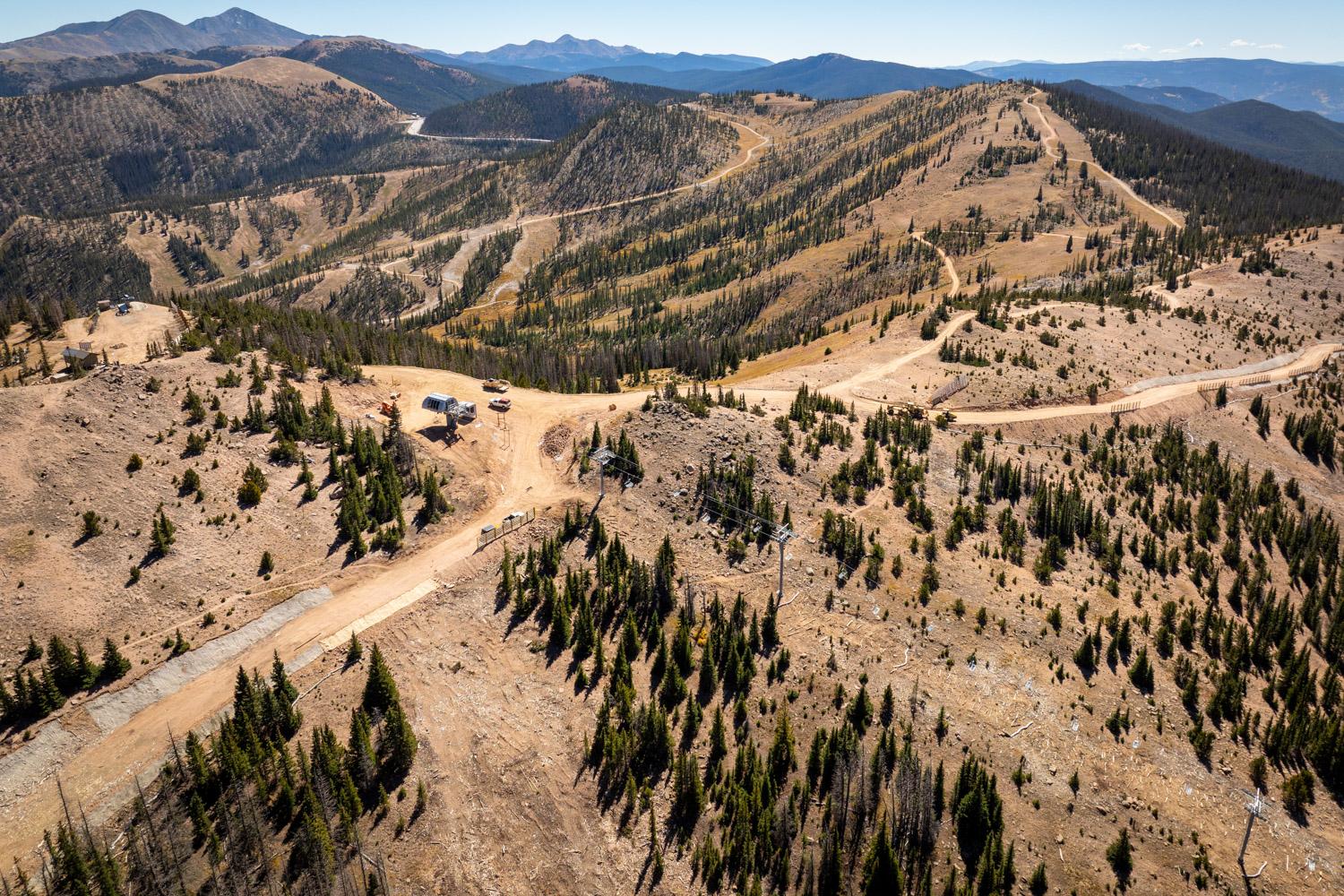
An impending May snowstorm will bring some welcome moisture, but won’t be enough to save Colorado’s rapidly melting snowpack. Sunday and Monday are projected to be the heaviest snow days, with scattered showers starting on Saturday.
Northern Colorado, from near Rabbit Ears Pass through Red Feather Lakes, is projected to get hit with the heaviest amount of snow, with the possibility of up to a foot. The rest of the high plains may see 4-8 inches.
However, it won’t be enough to impact the state's snowpack, according to Meteorologist Kris Sanders from the National Weather Service, because season totals are so much higher than a single storm.
“For example, a site in the northern mountains received about 40 inches of liquid in the form of snow (this winter), so adding an inch while we’re already melting isn’t significant,” Sanders said.
As for this storm, he’s not expecting the snow to stick on the roads, other than “maybe in mountain pass levels,” but says Coloradans can expect some slush on the roads with the conditions drying up by Tuesday.
“I think typically when we see mountain snowfall in May, it's tough to accumulate snow during the day, especially,” Sanders said. “Anything that occurs in the grass, the ground temps are so warm, it's really hard and a lot of that's going to melt. Usually, when the system moves out, the sunny conditions melt that snowfall fairly quickly.”
Funding for public media is at stake. Stand up and support what you value today.


