The National Weather Service has announced a winter storm warning until 5 p.m. Monday for parts of western Colorado, including Vail and Telluride. The heaviest snow is expected in the northern and central mountains early Monday afternoon, according to the warning.
The Denver area and northeast plains are expected to receive a mix of rain and snow through the morning hours, then, "gradual improvement through the afternoon," according to a mid-morning update from the National Weather Service.
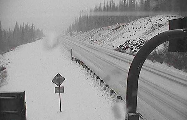
The National Weather Service in Pueblo tweeted that "significant snowfall" is possible in the central and southwest mountains above 10,000 feet. On Twitter, some photos already show snow accumulation.
Maybe a quarter of an inch @TownofFrisco this morning #cowx pic.twitter.com/cCizpwCOU0
At a lower elevation, people have tweeted photos of snow from Parker and Centennial.
Parker snow! #9wx #cowx #9wx pic.twitter.com/aNEpNwOVBu
Has snow started sticking where you are? Scene from Centennial #cowx Forecast: http://t.co/Rjp4RpndWm pic.twitter.com/7HWhF5zntM
But other areas, such as Evergreen, appeared untouched by snow or rain this morning.
Quite the snowstorm this morning in #Evergreen! Don't forget your sunglasses... #cowx pic.twitter.com/5m8Zm6SVAj