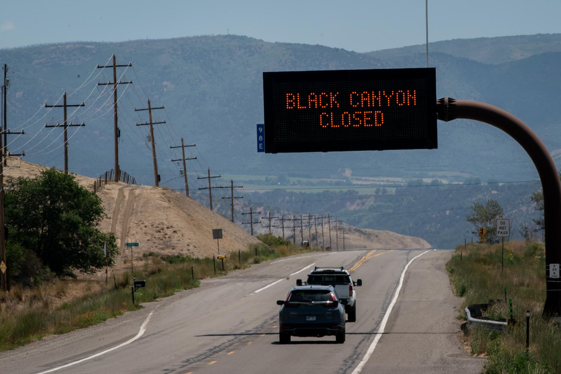

Ever since the fatal home explosion in Firestone in April of 2017, many environmental groups and local governments have asked Colorado regulators to map underground gas lines.
That request was repeated during two days of Colorado Oil and Gas Conservation Commission hearings centered around a new set of regulations that will govern the creation, maintenance and abandonment of flowlines — but no comprehensive mapping regs. Few, if any states, map flowlines. Big energy developing states like neighboring Wyoming or Texas do not have any mapping requirement.
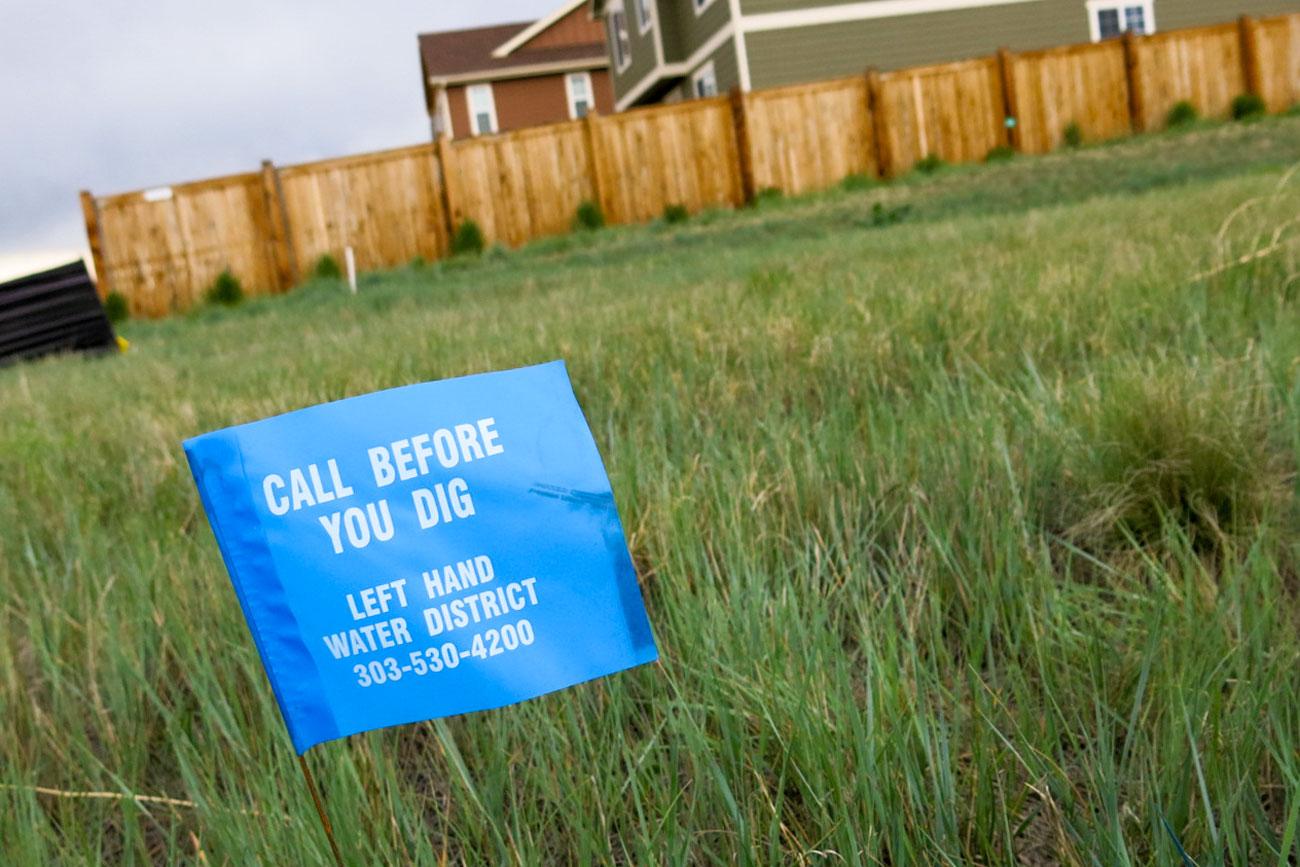
Colorado regulators say they’re concerned about how to keep detailed maps up to date. Energy companies make changes to their infrastructure frequently, which can require new pipelines and lead them to abandon old underground lines. Also, companies buy and sell holdings, so the ownership of wells and pipelines can change. Instead, COGCC director Matt Lepore said residents can reference the “Call Before You Dig” system known as Colorado 811.
The new rules under consideration will also require that Colorado oil and gas companies become more involved with the system. But as Colorado 811 director of operations Jose Espino explained, the system is geared toward those who plan to excavate, not residents who are simply curious about what’s under their feet, or their house.
“If we type in your address, we’re getting a list of facilities that are within 250 feet of your boundaries,” he said. “It doesn’t tell us that they’re specifically on your address. But that they’re within a 250 foot corridor of your address.”
An excavation request in Colorado 811 notifies companies — from Xcel Energy to oil and gas companies — to travel to a specific property and mark underground lines in an area. Colorado 811 does not prioritize citizen’s excavation information requests over other requests that come in. Participating Colorado 811 companies do not have strict requirements for response on informational requests as they do for those involving excavations.
Some Western Colorado legislators plan to introduce legislation that would give Colorado 811 more complete maps of what’s underground. The idea will be discussed in the upcoming 2018 legislative session. Democrats are planning to introduce a new version of Rep. Mike Foote’s failed-bill requiring flowline mapping during the session as well.
Wooaa. Check out this oil separator tank and what the coresponding schematic diagram looks like #Colorado #OilandGas regulation hearing pic.twitter.com/geJRASHpYe
So what information would the new rules give residents about underground flowlines and pipelines?
Under the proposed rules, companies will be required to submit GPS start and end points for new flowlines that run off site from a well pad. However, they won’t be require to track where the lines actually go between those points.
This information and other details will be included in a new flowline report, called Form 44, to register off-site flowlines, crude oil lines not regulated by federal government, and domestic raw gas taps when they’re created. When some lines are abandoned, companies will update those forms.
Form 44 for crude oil transfer lines and transfer systems for water produced from drilling must include a layout drawing that shows the route, including road crossings, sensitive wildlife habitat areas, waterways.
Existing crude oil and water transfer systems would have to submit the report by Jan. 1, 2019 — including a layout drawing of the facility that shows detailed information about the path of the pipeline underground, surrounding topography, and associated above-ground equipment. If they make significant modifications, they’ll have to re-submit the form.
But some oil and gas companies said at Tuesday’s meeting they don’t want detailed crude oil and water transfer system maps shared with the public.
“We were requesting that the COGCC database…that it have this filter in there to make sure that it is protecting the data to the right level,” said Jeannette Jones, an engineering manager at Noble Energy. She referenced federally managed pipelines for which the government has maps, but it doesn’t share specific details with the public.
For its part, PDC Energy raised safety concerns about mapping isolation valves and pressure monitoring points on crude oil and water transfer systems.
Local governments like Broomfield want more details in the flowline report, including notifications when lines are tested, and when those tests fail. But a Weld County government representative countered that such specificity would create a data overload in the county with most of Colorado’s active wells.
The flowline reports and line GIS locations will be publicly available on the Colorado Oil and Gas Conservation website. But Sara Loflin, executive director of the League of Oil and Gas Impacted Coloradans, said she’s concerned that the data won’t be very accessible to an average citizen. They won’t know how to research which Form 44 to pull.
“It’s one thing to say we’re requiring operators to report this information,” she said. “They’re not saying, ‘We’re going to make sure this information is accessible and readily available to local communities.’”