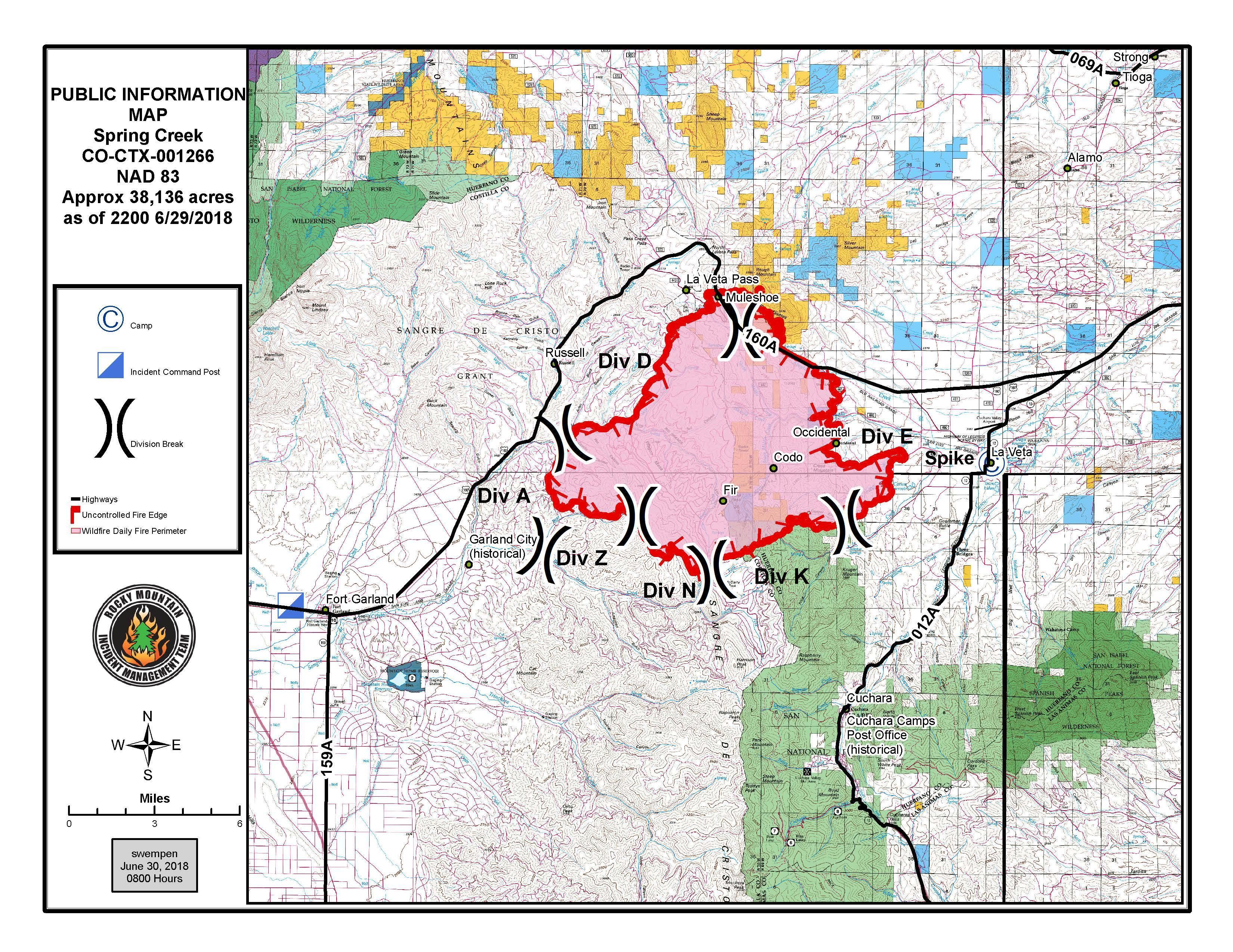

The Spring Fire, burning in the mountains east of Fort Garland, continues to grow. The blaze is now an estimated 38,136 acres — more than 59 square miles — as high temperatures and wind fueled Friday’s growth.
There is no containment yet, though crews worked on the east and west sided of the fire with bulldozers and hand tools to build firelines. The south east side of the Spring Fire has been an access challenge for crews, mostly due to lots of dead timber and steep and rocky terrain.
Some structures were destroyed in the mountains east of Fort Garland. Authorities haven't said how many. The Costilla County Sherriff’s Office hopes to begin identifying lost building and their owners over the next couple of days.
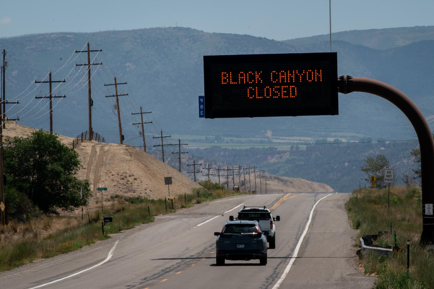
US 160 remains closed between Fort Garland and La Veta due to fire activity along the road, with no estimate of reopening. Highway 12 in the Cuchara Valley area is also closed for mandatory evacuations. You can ding evacuation information in Huerfano County here, and Costilla County here.