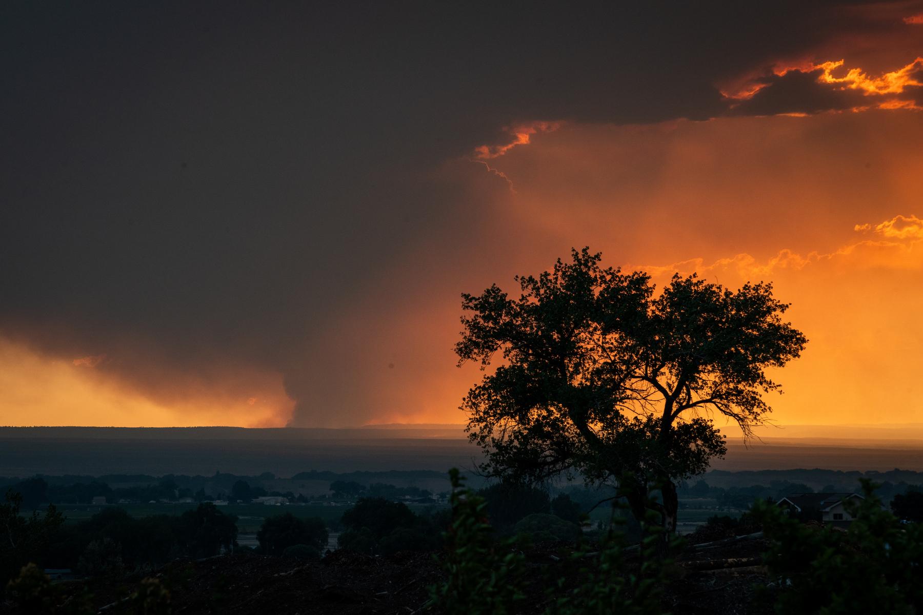
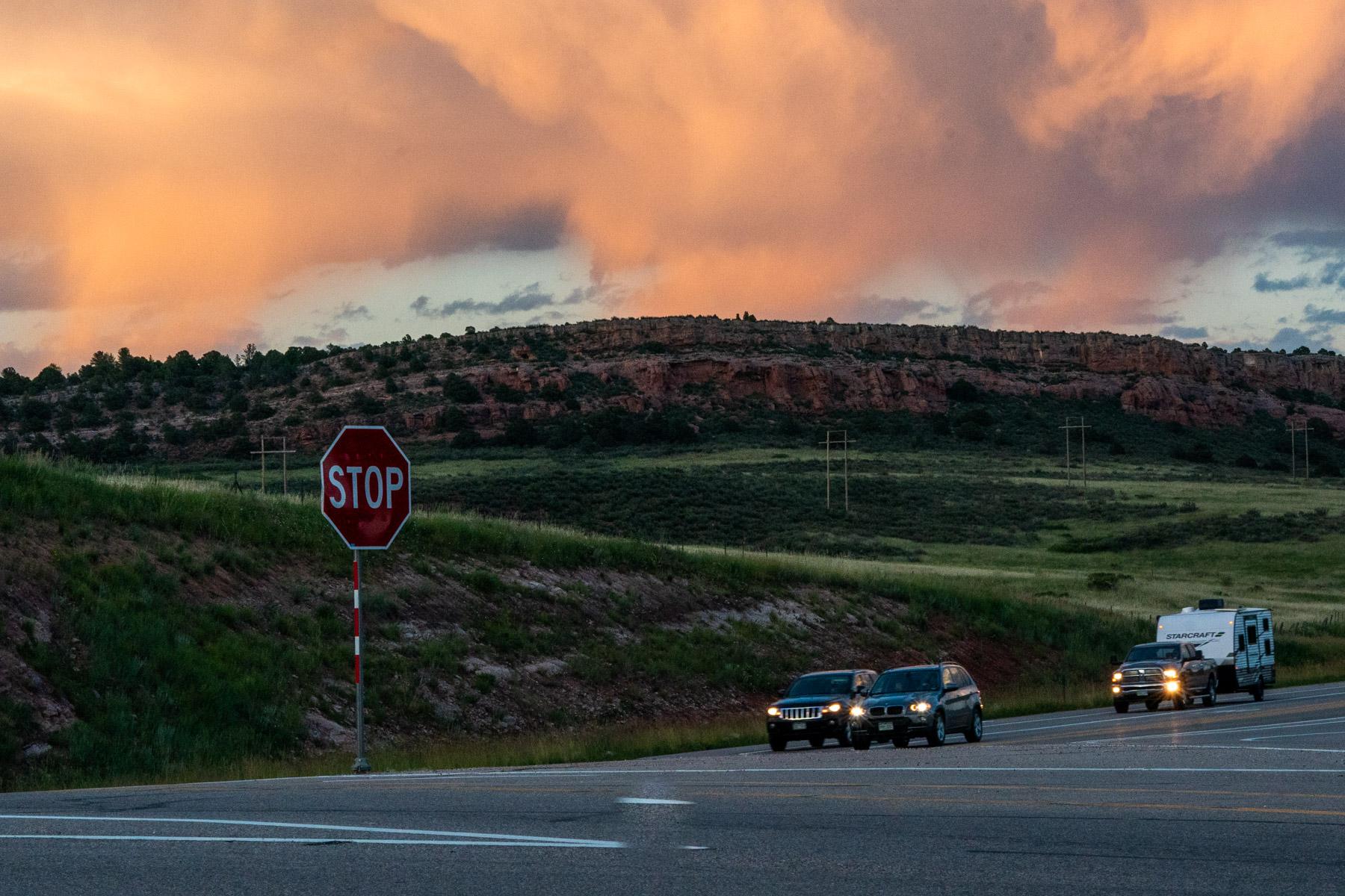
A storm system is expected to bring heavy bouts of rain and potential flooding to the Front Range starting Thursday afternoon. Nearly the entire I-25 corridor will likely see showers.
Communities just south of the Denver Metro could get up to 2 inches of rain, according to the National Weather Service. Downtown Denver and Denver International Airport are forecast to get just over half an inch starting around 2 p.m.
Storms will continue through Thursday evening and most of the day Friday.
The system likely won’t develop into severe thunderstorms, said Jim Kalina, a NWS forecaster. But communities close to wildfire burn scars will see a higher risk of flash flooding.
“Those areas flood much easier,” Kalina said. “Just be aware of the weather.”
Some areas, particularly Southern Colorado, could also receive small hail. Rain will move into the region a bit later than Denver, around 5 p.m.
The high temperature for much of the Front Range will hover around 70 degrees on Thursday before cooling down to 65 on Friday.
Weekend highs for the Denver metro will warm back up closer to 80.
Colorado Springs will have a high of 72 Thursday, with temperatures dipping into the 60s on Friday. The weekend should bump temperatures back up to the mid-70s by Sunday.
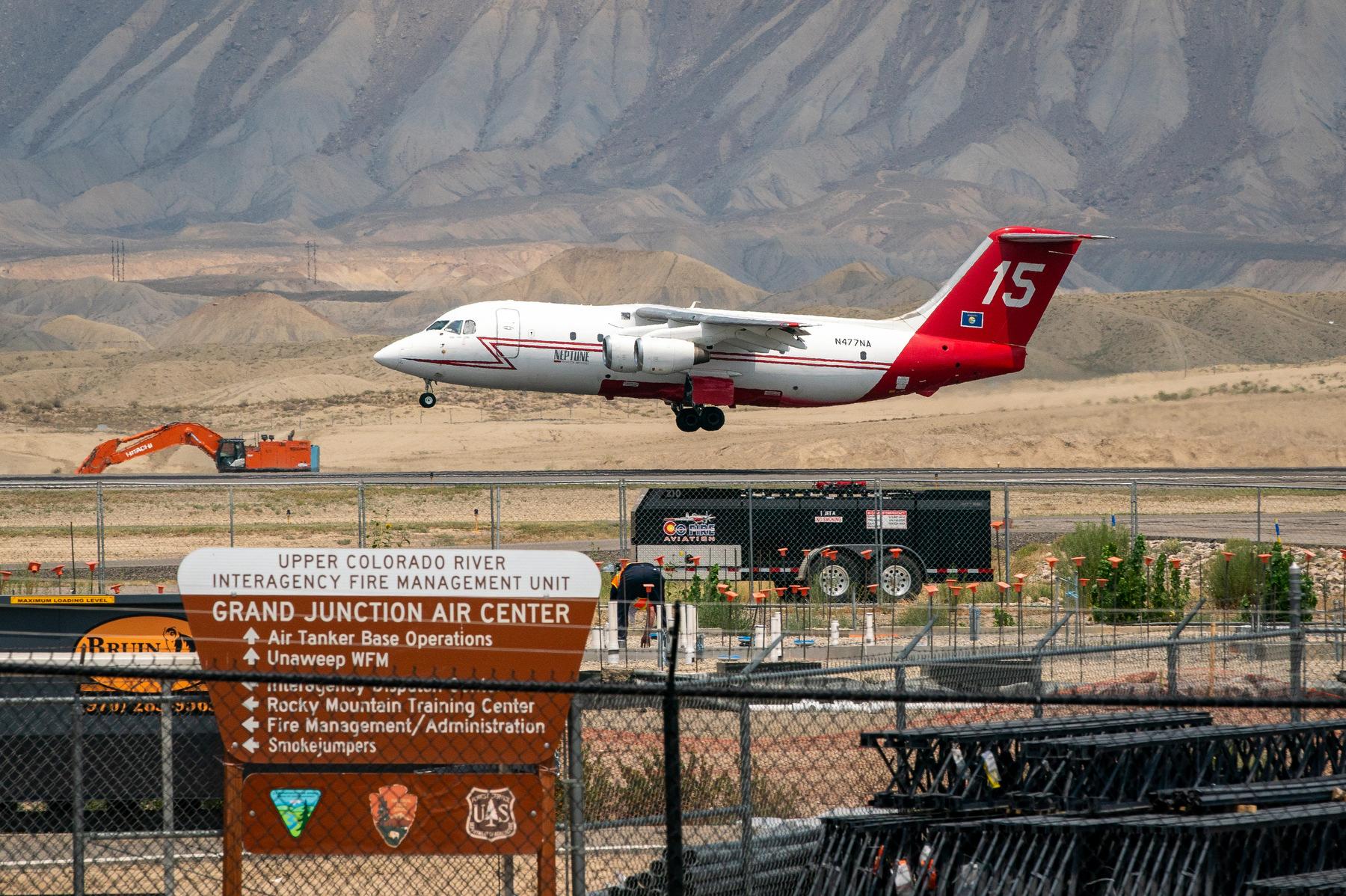
Parts of the Western Slope could also see rain, but it probably won’t be much. The NWS expects highs in the upper 70s for Grand Junction through the weekend, when temperatures will likely climb into the 80s.