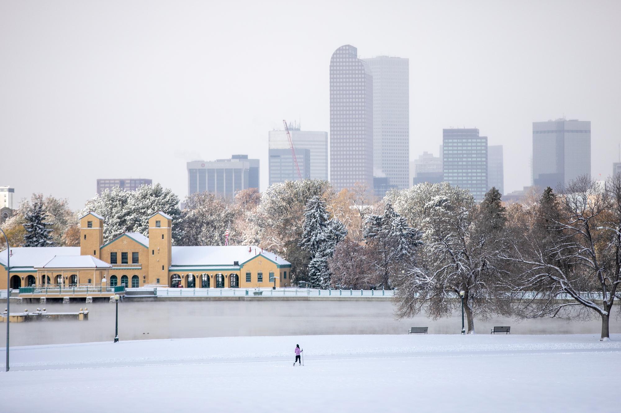
Much of Colorado will see snow starting Thanksgiving afternoon and continuing until Saturday morning.
Forecasters say the biggest accumulations along the Front Range will fall in Larimer and Boulder counties, with up to 13 inches possible in some places in the northern foothills.
In Fort Collins, Boulder and western parts of Lakewood, up to 9 inches are possible.
Denver and areas south and east of the city will likely see less — 2 to 4 inches. Forecasters say the city has a 37 percent chance of getting 4 inches of snow. Colorado Springs could see slightly more snow from the storm, up to 5 inches. In the mountains, areas south of Aspen are forecast to be the hardest hit, with up to 7 inches of snow and potentially more locally at higher elevations.
But the heaviest snow is likely in southwestern Colorado. Forecasters say 1 to 2 feet of snow is expected for the eastern San Juan Mountains with lower totals for areas around Durango and Telluride.
High temperatures Thursday for the Front Range and central mountains will hover around 40 degrees before falling overnight.
Forecasters say travel could be hazardous Thursday night as accumulations start to pile up.
Friday morning, lighter snow is likely to fall along the Front Range and will continue until early Saturday morning. Colder temperatures are also likely, with forecasted highs only in the mid-20s for much of the state.
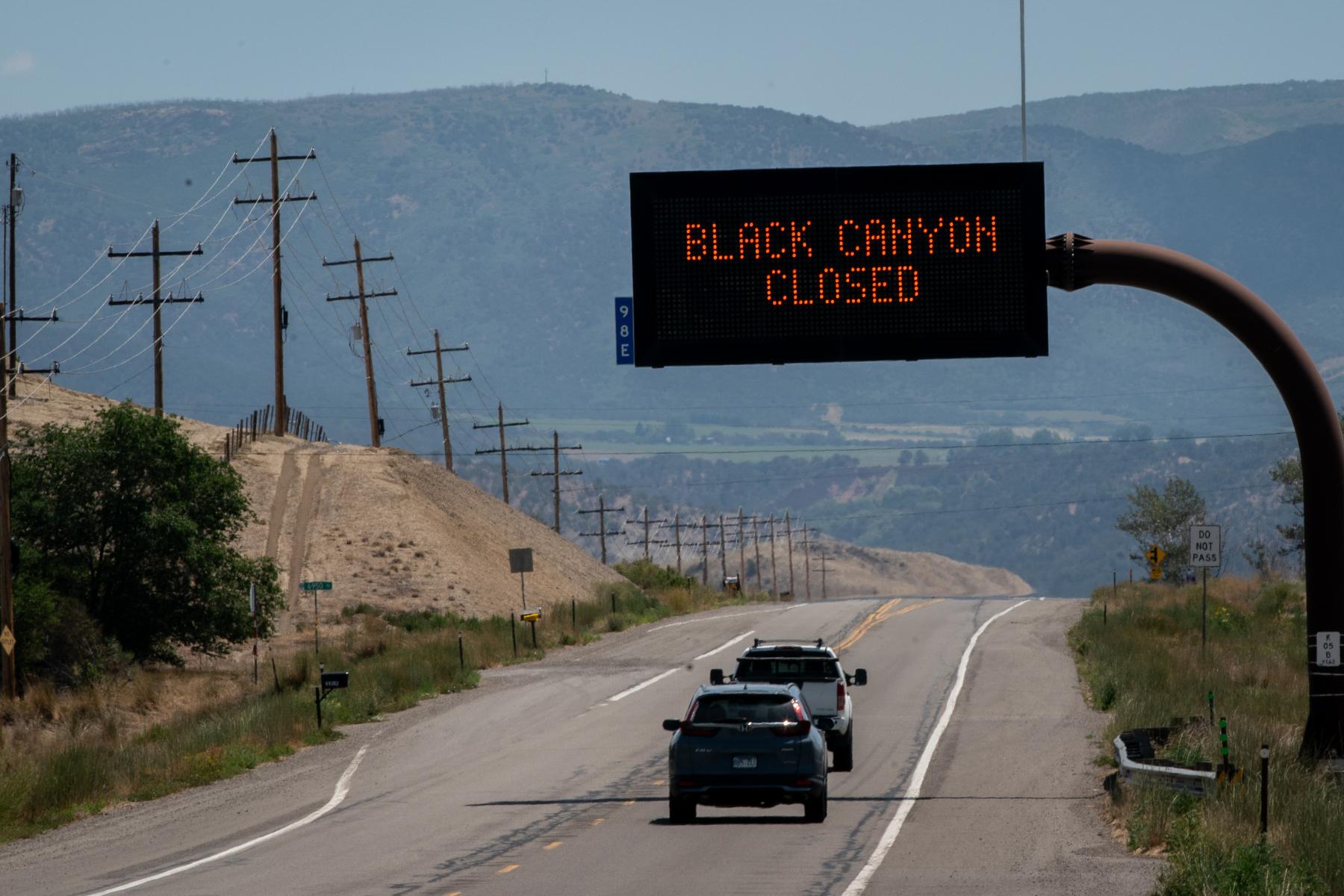
The Colorado Department of Transportation says CDOT crews will be working through the holiday plowing, including on the I-70 corridor.