Dry, dry, dry. And warm, warm, warm. That’s been the weather story across Colorado so far this November.
Colorado’s mountain snowpack is off to a slow start this season, and the Denver metro area still hasn’t seen flurries.
Snowpack levels across the state remain far below average, though meteorologists say weather patterns are expected to shift in the coming days, bringing a better chance for winter storms before the end of the month.
“When it comes to having enough snowpack for water and filling reservoirs, it's very early in the snowpack accumulation season. So that's a good thing. We could recover,” said Aldis Strautins, senior hydrologist with the National Weather Service in Boulder.
Few places in the high country have accumulated more than an inch or two of snow naturally, according to the Colorado Snotel report. A ridge of high pressure is largely to blame for the lingering mild temperatures and lack of snow. Essentially a dome of warm air that’s settled across much of the Midwest, it has prevented storms from crossing the state.
“It kind of blocks the weather pattern and the storms from coming overhead, and they get moved around over the ridge and north of us instead of tracking over the top of us,” Strautins explained.
That has led to a lack of snowfall not just in the high country, but across much of Colorado. “The South Platte (basin) is at 25 percent of normal for this time of year,” Strautins said. “Southwestern Colorado is in the teens — so are the headwaters of the Colorado and Yampa.”
According to the U.S. Drought Monitor, much of the state is unusually dry, while patches of Pitkin and Eagle counties have slipped into extreme drought.
While unusual, forecasters say this pattern isn’t unprecedented — and it’s not a reason to give up hope for a wetter winter.
“In the fall of 2016, we were down in the teens and 20 percent of normal that year too,” Strautins said. “Then we had some storms come through later on, and by the late spring of 2017, we were at or above normal for snowpack across Colorado.”
A pattern change starting Sunday could bring more storms to the state as November ends, though Strautins said they’ll likely affect higher elevations first.
In anticipation, the Colorado Department of Transportation announced it is closing the highway over Independence Pass, between Leadville and Aspen, from Saturday until at least Tuesday.
Denver is closing in on a record-late first snowfall
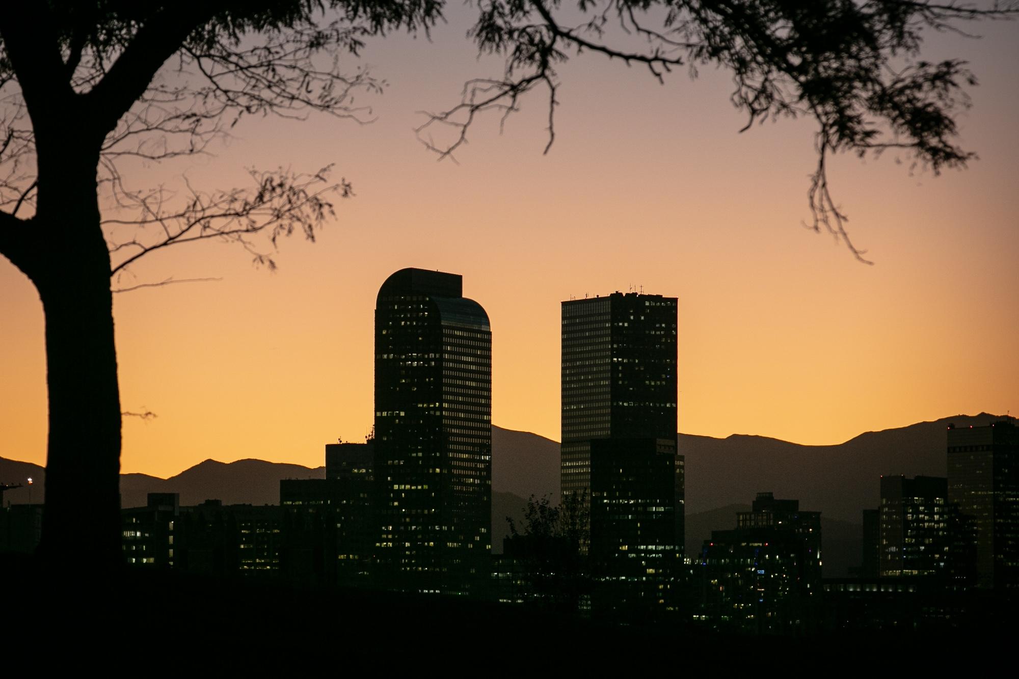
The same warm, dry conditions have extended to the Front Range, where Denver is approaching one of its latest first snowfalls on record.
“After Friday, we’ll be in the top 10 of the latest measurable snowfalls that have ever [happened] for Denver,” said Boulder National Weather Service meteorologist David Barjenbruch. “The latest measurable snowfall ever recorded was just a few years ago, back in 2021, when we did not receive a measurable snowfall until December 10th.”
Each dry day pushes this year higher up the rankings for latest snowfall. “It’s getting unusual,” Barjenbruch said. “After we get past Saturday, we’ll pass four more days in the record. Pass the 16th, and we will definitely be in the top five latest snowfalls ever for Denver Metro.”
Barjenbruch said the same ridge pattern keeping the mountains dry is also keeping moisture out of the city.
“Since [early] October, it’s been quite extremely dry,” he said. “We just have that persistent ridge of high pressure that’s steering all the storms way to our north. The first chance of measurable snow would be next week, late Wednesday or Thursday… After that, maybe we look toward something closer to Thanksgiving.”
In the meantime, temperatures are expected to finally drop. “One thing we are fairly certain of is that this will be the last weekend of really mild fall temperatures,” Barjenbruch said. “Winter is on the way.”
Whether this winter ends up below or above average for precipitation will likely depend on what the spring months bring. “One big storm here can be the difference between a make-or-break season for snowpack,” Barjenbruch said. “If we get one of those big storms, then we’ll suddenly be above normal. If we don’t, we’ll probably end up below normal for the year.”
Will Denver see a white Thanksgiving?
As for whether the city can expect snow on Thanksgiving, it’s still too early to say for sure.
Barjenbruch said the snowiest Thanksgiving on record was in 1928, when Denver received 8.5 inches. The average chance of precipitation on the holiday in the metro is only 18 percent.
“We have had snow on the ground for three of the last seven years, and we had flurries in 2020, 2022 and 2023,” he said. “The last real snow on Thanksgiving was in 2015, when the metro got about an inch. Overall, in the last few years, there have been more white Thanksgivings than white Christmases in Denver.”
In preparation for the upcoming winter season, Trail Ridge Road in Rocky Mountain National Park has officially closed. The high-elevation stretch shut down to through traffic Friday — a sign winter is setting in across the high country. Visitors can’t drive the full length anymore, but sections that lead to popular winter destinations are still open.


