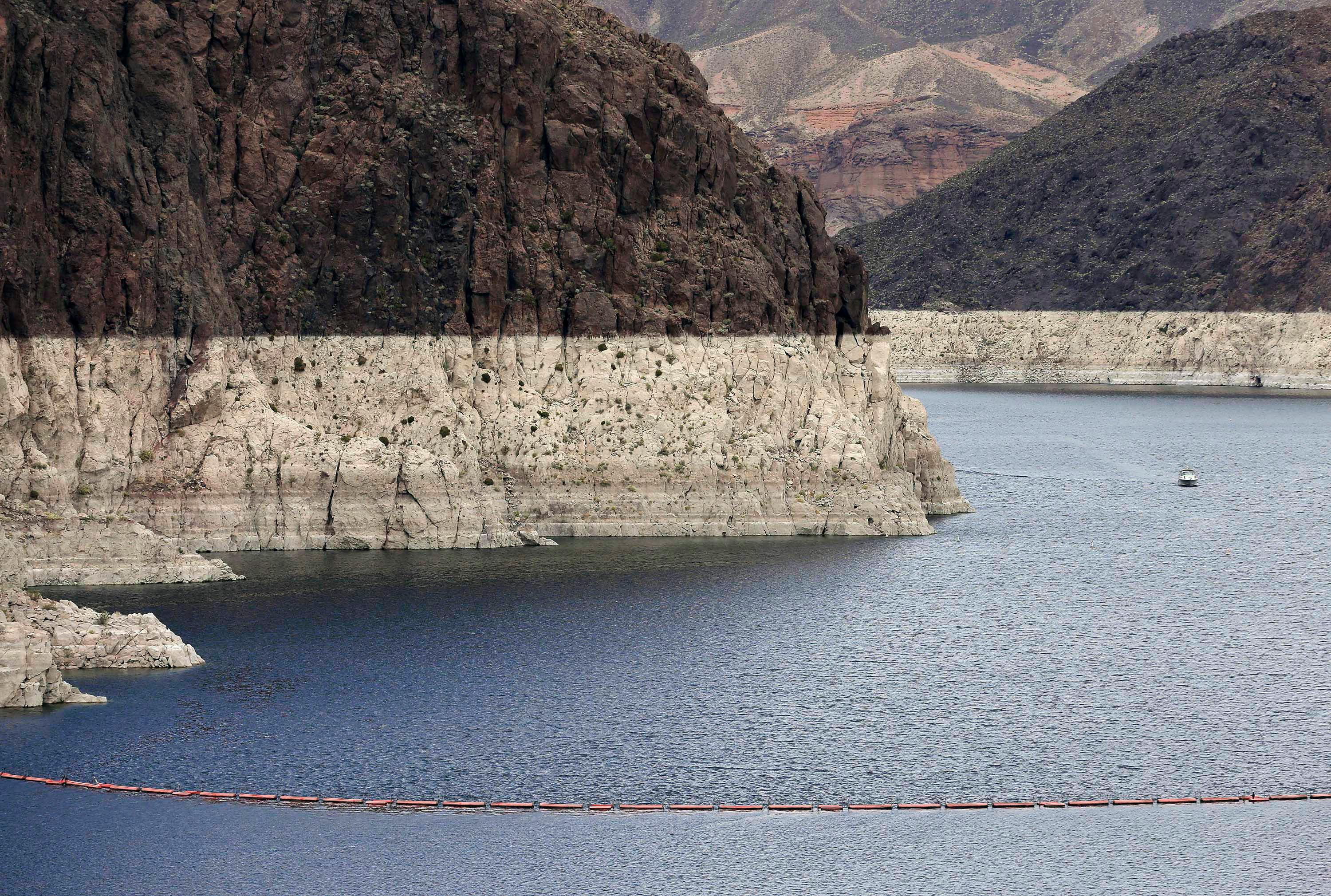
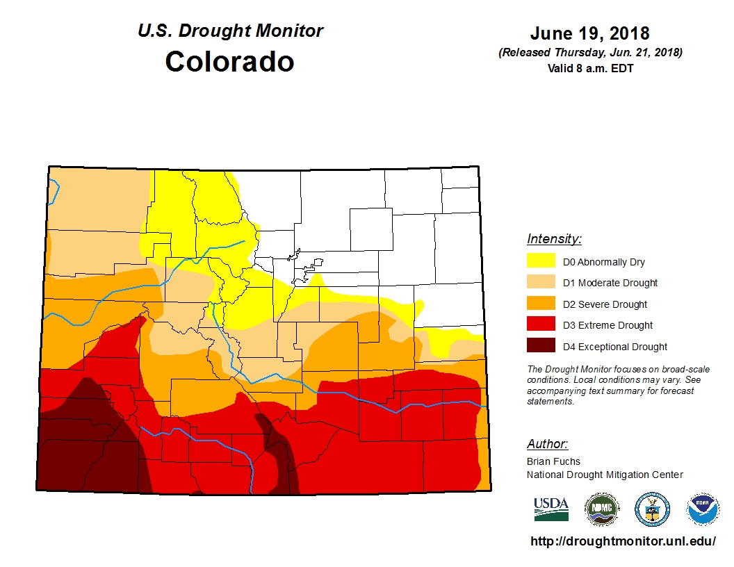
Most of Colorado is in drought. A lack of winter snowfall and minimal spring set up perfect conditions for wildfires, such as the 416 Fire outside Durango. But besides those fires, it can be hard to visualize just how dry the Centennial State is. That’s why one geographer at the University of Idaho’s Laboratory of Applied Climate Science uses satellites to map out drought in Colorado and the rest of the West. Geographer John Abatzoglou talked to Colorado Matters about the science behind his lab's drought map. See how in drought areas of Colorado and the entire country are.