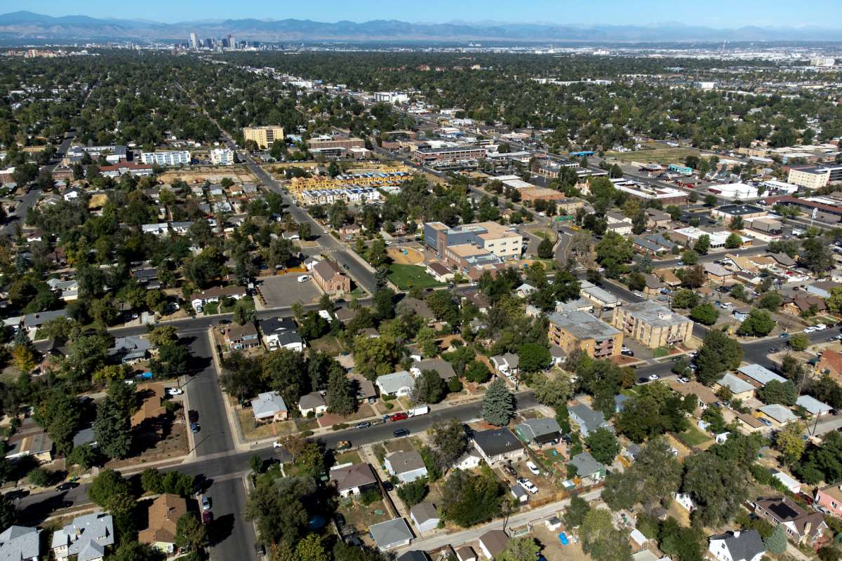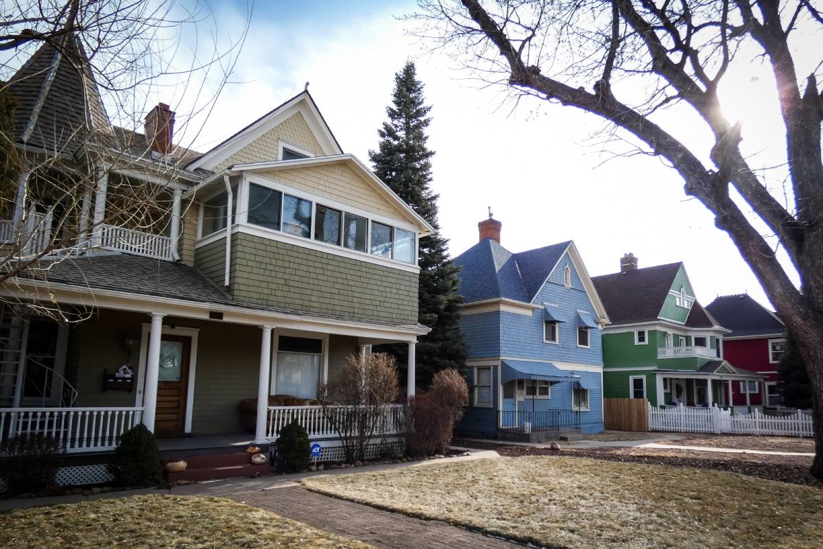

As the climate gets hotter and drier, how will that affect the Mile High life? More importantly, what will it all feel like?
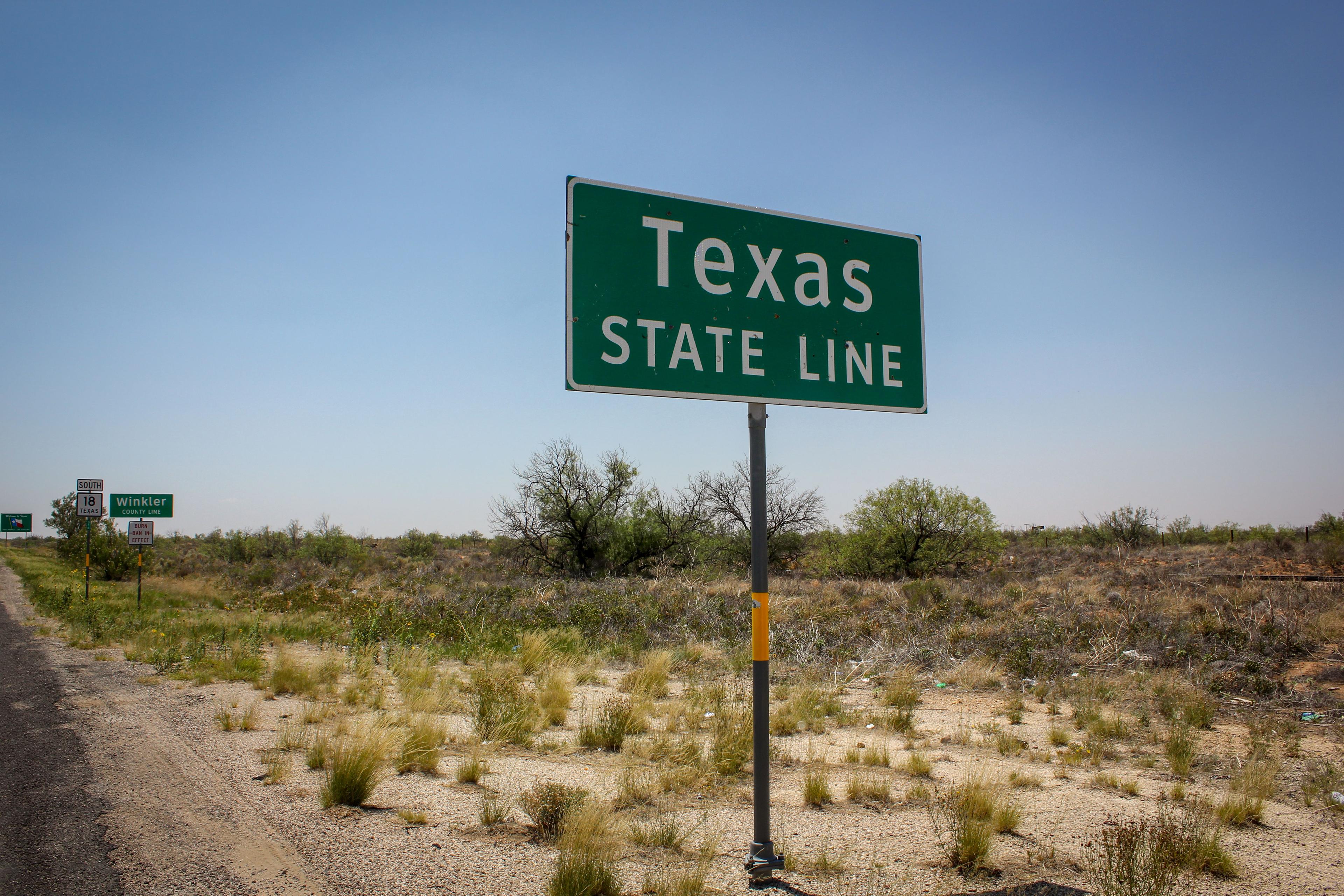
According to a recent study in Nature Communications, in the year 2080 Denver will feel more like Borger, Texas. The Texas panhandle town is 7 degrees Fahrenheit warmer, and 1.5 percent drier in the winter than the Mile High City as we enjoy it today.
As climate shifts, “everything in the West is generally moving south to places that are hotter and drier,” said lead author Matthew Fitzpatrick, an ecologist with the University of Maryland Center for Environmental Science.
Fitzpatrick used a statistical technique called climate analog mapping to find 2080 climate change “twins” for 540 American cities. Glancing at an interactive map that’s part of the project, East Coast cities will generally grow warmer and wetter over the next 60 years.
But there’s more variability across the West.
Grand Junction would warm and feel more like Sunrise Manor, Nevada. Junction would feel nearly 60 percent drier during the summer months. Fort Collins’ climate twin city in 2080 will be Guymon, Oklahoma, which is 7 degrees Fahrenheit warmer and nearly 60 percent wetter in the summer.

The West’s variability depends on the season, Fitzpatrick said. “Some places might see a lot less precipitation during a critical time of the year like winter, but potentially more during the summer.”
Fitzpatrick notes there’s some simplification and that the tool does not take into account urban heat island effect that’s expected to grow in large metropolitan areas like Denver. And that could mean even more sultry temperatures in 2080.
The United States could reduce carbon emissions, and slow the trajectory it’s currently on. That’s why Fitzpatrick built a low-emissions option on his interactive tool for all 540 cities. Under that version, Denver will feel more like Dumas, Texas in 2080 — just a scant 35 miles northwest of Borger. And that means slightly cooler temperatures.
Fitzpatrick has one word of caution with the online map: It’s overwhelmingly popular. When it launched, climate twin seekers saw slower map load times, and some days where information was just plain unavailable.
“A lot of people are having a ‘wow’ moment,” he said. “But how many minds is it really changing? That’s the question I really want to answer.”