Updated 3:06 p.m.
Things are getting busy at Denver International Airport ahead of the arrival of the snow. Get the latest here, our original story continues below.
--
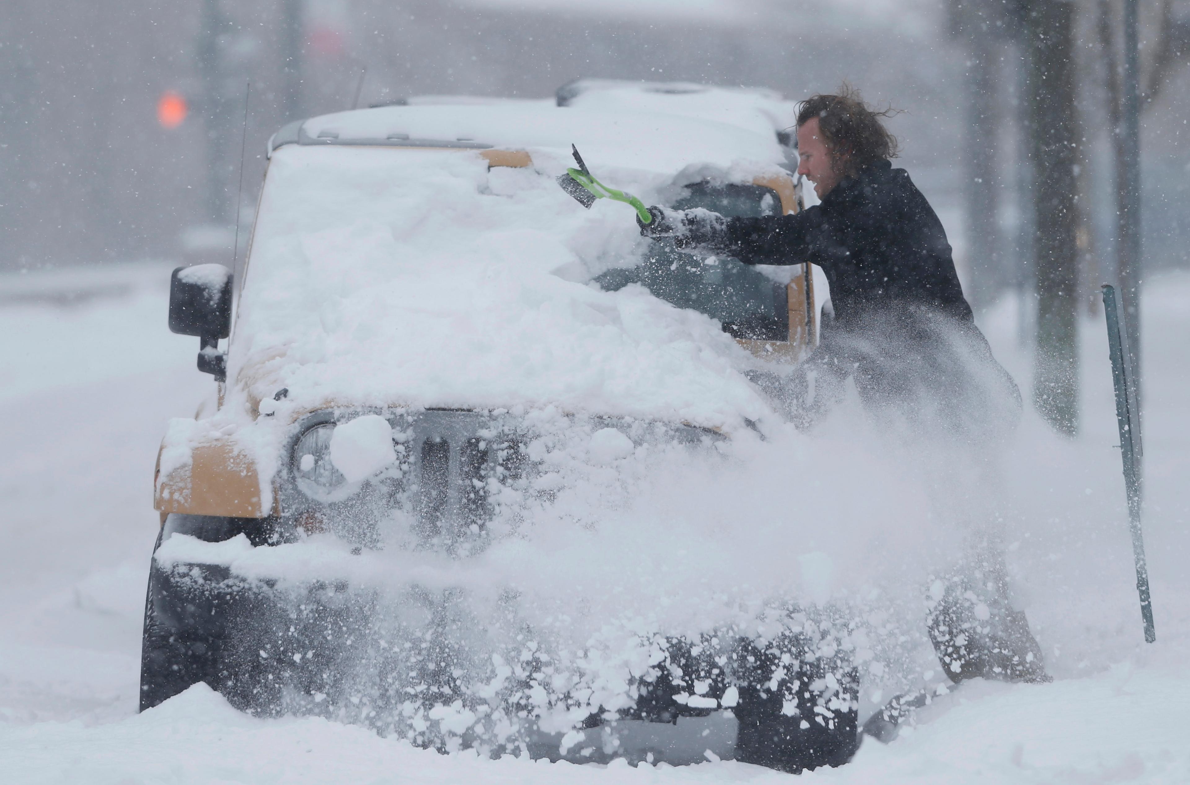
Up to 18 inches of snow could fall across the Denver metro over the next two days, making some roads unusable.
"Travel's going to be real difficult late tonight and into early Tuesday — if not impossible for some locations," said Kyle Fredin, a forecaster for the National Weather Service in Boulder.
The storm will start in western Colorado and the northern mountains Monday afternoon then move into the Front Range in the evening, Fredin said. Heavy snow could start falling during the metro's rush hour.
"From that point, it's going to be downright winter with periods of heavy snow through the night into early Tuesday morning," Fredin said. "Visibility is going to be an issue."
NWS suggests that drivers stay off the road Monday night through at least midday Tuesday. If travel is necessary, they said drivers should leave plenty of extra time and check with the Colorado Department of Transportation for any road closures.
All of the main interstate arteries, as well as bridges, overpasses and flyovers around the Mile High City will be pre-treated through Monday afternoon. CDOT says road crews have been assigned to "round-the-clock snow shifts" and warns that road closures for safety reasons are possible dependant on conditions.
"If you have to get stuff done, do it today," the Weather Service's Fredin said. "Pretty much block off any sort of travel you need to do late tonight into Tuesday and reassess what you can do before tomorrow afternoon."