
A big snowstorm will continue to blast through Colorado over the weekend, with higher elevations getting the brunt of it.
The National Weather Service in Boulder has a winter storm warning in effect through Saturday night for much of the central mountains.
“Some places will get over three feet of snow from this powerful and long-duration storm,” meteorologist David Barjenbruch said. “The mountains are definitely seeing the really difficult travel conditions with heavy snow, blowing snow, snow-packed roads, poor visibility, colder temperatures.”
Wind gusts up to 60 miles per hour will make driving difficult over mountain passes tonight.
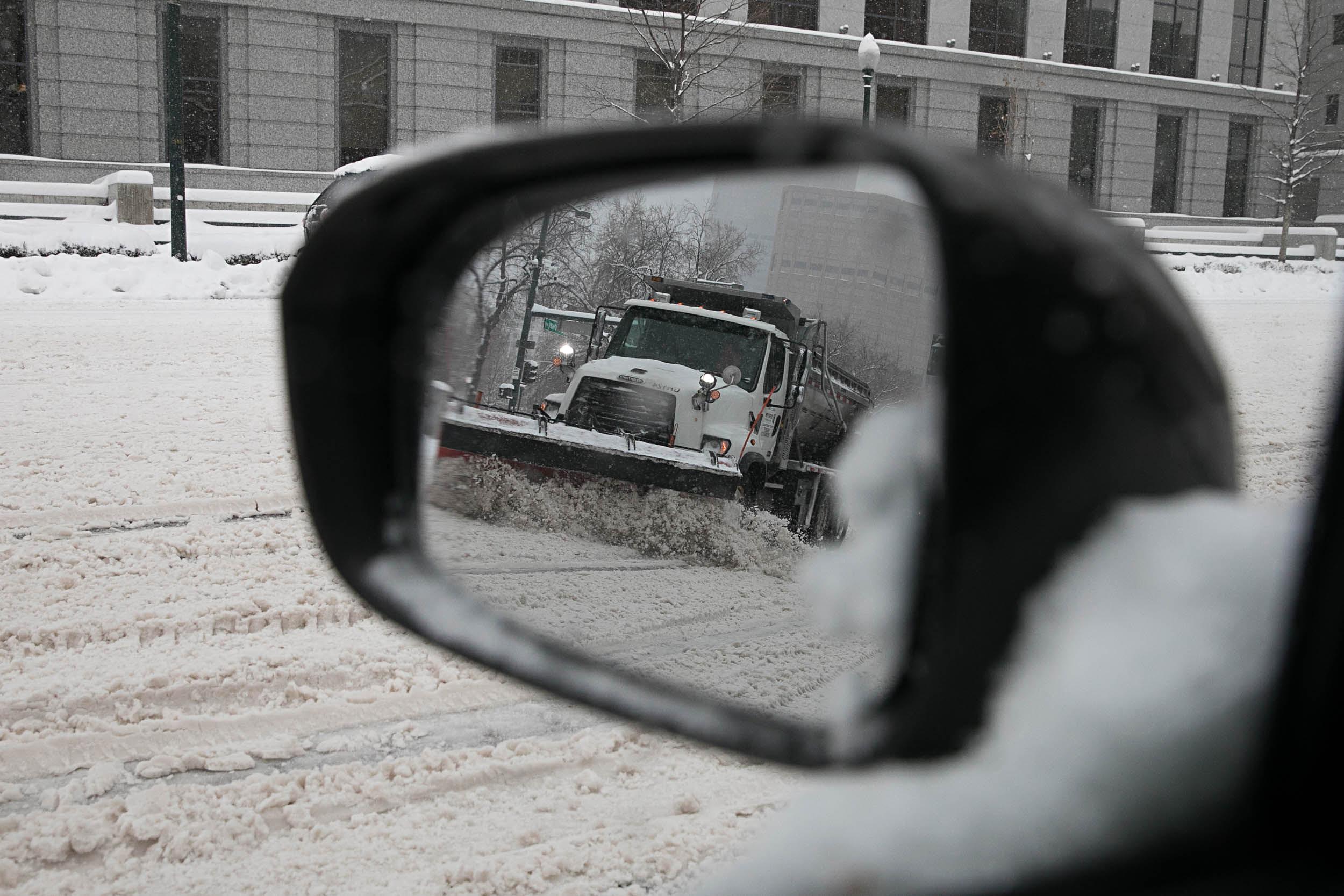
Several stretches of Interstate 70 closed and reopened today, including eastbound lanes near Vail Pass due to a major crash. The Colorado Department of Transportation is urging drivers to be extremely careful and to pack emergency kits with food, warm clothes and jumpers cables.
“We expect there to be more closures, unfortunately, as the day goes on, as we start to see more traffic and as conditions continue to worsen,” CDOT spokeswoman Stacia Sellers said.
The Front Range will be impacted by the storm, especially on Sunday. The National Weather Service expects Denver to get a couple inches of snow and the Palmer Divide to see between 4 and 6 inches. The Eastern Plains and areas around Greeley and Fort Collins may see an inch or so Saturday.
The snowstorm will make avalanche danger high.
Avalanche danger is also high this weekend, with the heavy flurries covering weakened layers of snow leftover from November.
One person died on Sunday after getting caught in an avalanche while backcountry skiing near Estes Park.
CPR's Stina Sieg contributed to this report.