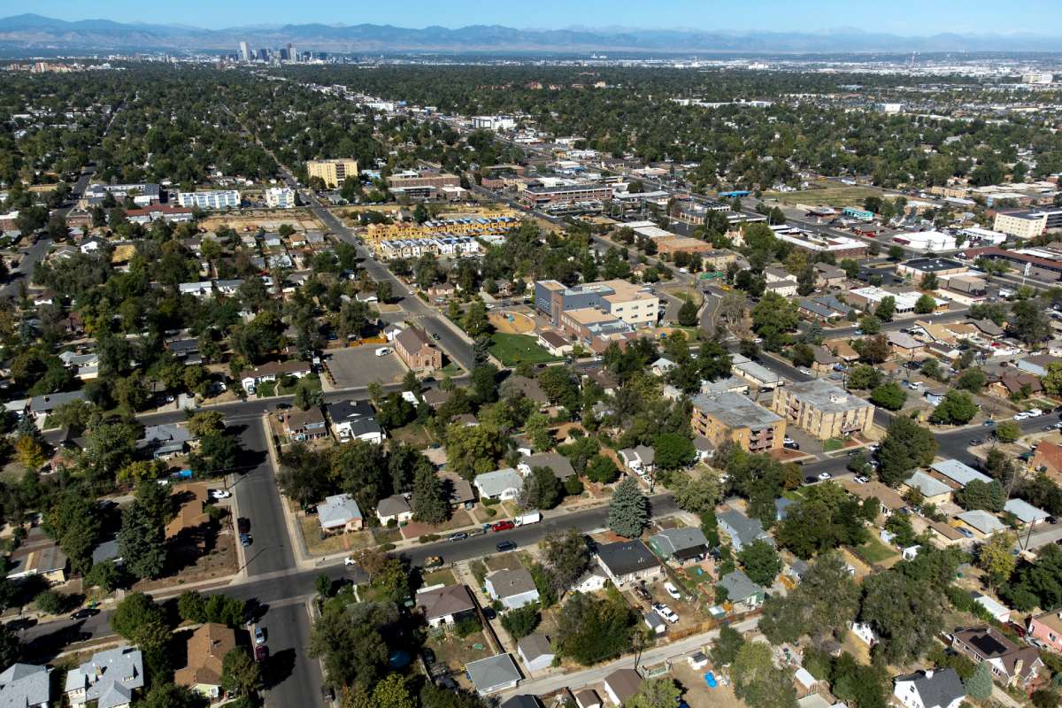
Much of southern Colorado is under a critical red flag fire warning until 9 p.m. Monday. But after that, a cold front moving into the area is expected to bring snow. Yes, you read that right: snow.
A prolonged period of strong winds and low humidity has left the region susceptible to dangerous fires, according to National Weather Service meteorologist Kathy Torgerson.
"Of course our drought conditions have made for very dry vegetation which is fuel for fires and, again, leads to the potential for very volatile conditions should a wildfire start, very rapid rates of fire spread," Torgerson said.
The National Weather Service said to be careful with cigarette butts and not to burn anything outside.
According to forecasters, an abrupt change is on the way after the fire warning expires. A strong cold front is expected to come across the southern plains.
A high wind warning will start at 9 p.m. for the Colorado Springs area. The wind will continue in southern Colorado through Tuesday.
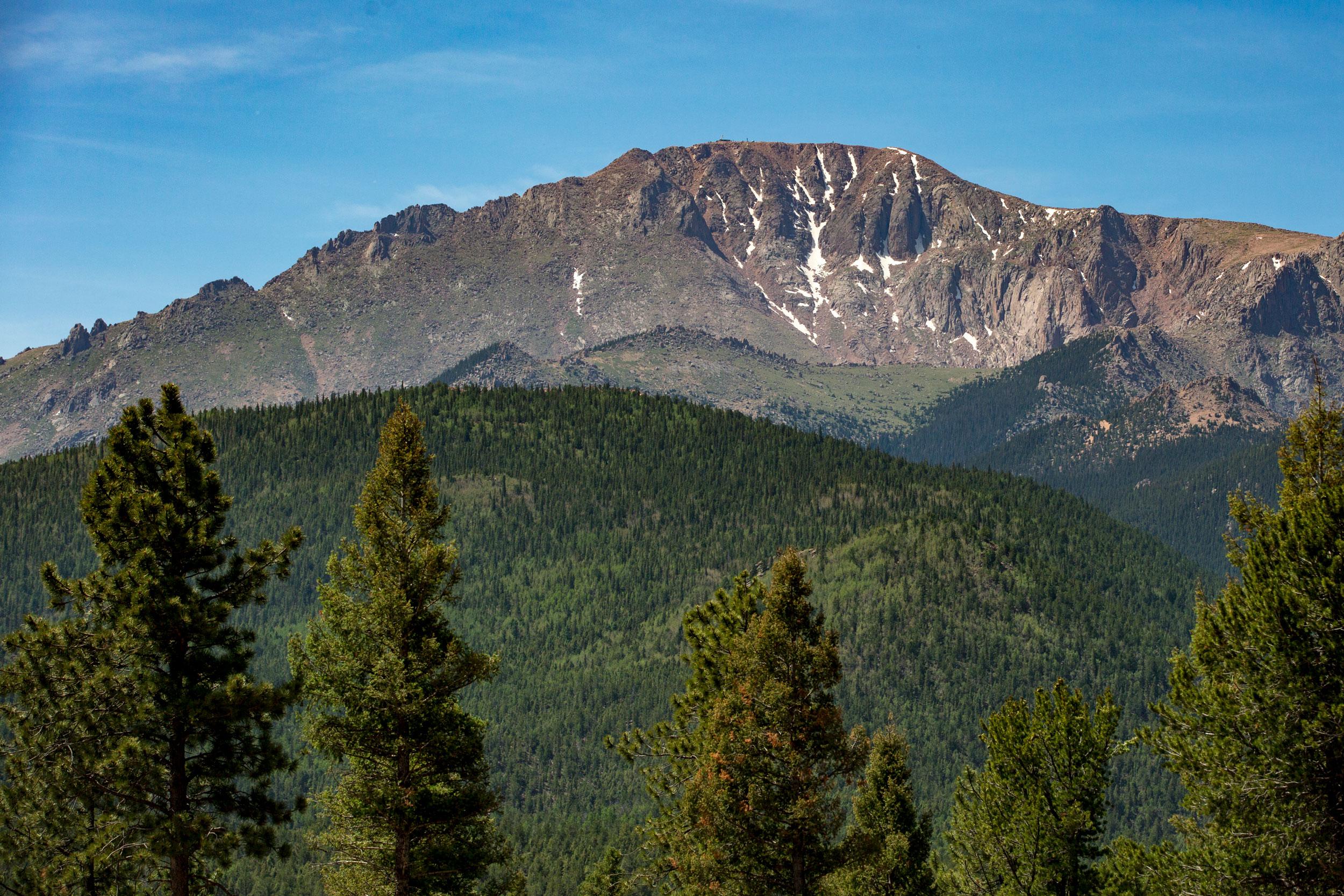
Snow will spread across the continental divide Monday evening, concentrated in the mountains. The Pikes Peak region may get an inch or two of snow from the storm overnight, but it is not likely to accumulate.
"It's from one extreme to another, from fire to ice," Torgerson said.