
Colorado's wild weather roller coaster of intense heat and widespread snow sure looked like it was about to set a national record for the shortest amount of time between a 100-plus degree day and measurable snowfall.
The record to beat was five days, set in 2000 by Rapid City, South Dakota.
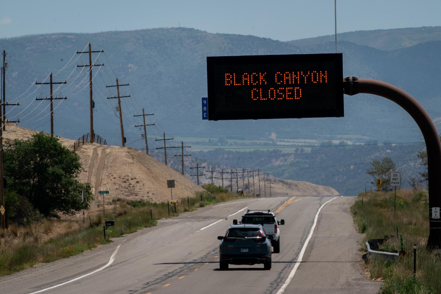
All eyes were on Denver, which hit 102 degrees over Labor Day weekend — the latest 100-degree day on record for the area, and its warmest September temperature ever recorded. When measurable snow was confirmed Wednesday morning, just three days later, it seemed Colorado had stolen the title.
Then came this tweet from Rapid City's National Weather Service office.
That's right — South Dakota came up from behind and defended their title, now with just two days between 100-plus degrees and snow.
Or so it seemed.
Alaska-based climatologist Brian Brettschneider, who has been digging into the records, sent out this tweet.
Then Colorado jumped back in the ring. But it wasn't Denver that challenged the call.
It was Ordway, east of Pueblo. The Colorado Climate Center responded to Brettschneider.
The Ordway station read 104 degrees to 3.9 inches of snow in two days, compared to Rapid City's 102 degrees to 1 inch.
That got weather nerds talking.
Brettschneider considers the two events a tie, sort of.
"I think it's a fair statement to say that South Dakota and Colorado both achieved this temperature flip. But the Colorado examples were of larger magnitudes. They were a little bit more extreme," Brettschneider said.
As he watched the forecast become a reality, Brettschneider was prepared for something to change that would have kept the unprecedented weather event from happening.
"Usually along the way, one of those ingredients kind of falls apart and it ends up not as dramatic as was possible," he said. "But in this case, everything really held together and it ended up being this really remarkable confluence of conditions that basically resulted in a summer and winter in just a few days."
Brettschneider said that big weather events like this get "this kind of community of people who are current practitioners of meteorology or climatology," along with "armchair enthusiasts for the weather" chatting on Twitter.
He spoke with climate extremes expert Maximiliano Herrera, who told Brettschneider that it's likely a weather shift like this hasn't happened anywhere else in the world.
Assistant Colorado state climatologist Becky Bolinger watched the weather unfold with excitement and some disbelief as she dug through the data — she knew that Colorado would have a station that would show a big swing.
"South Dakota released theirs first," she said. "We weren't able to see it in our data yet. But we looked, I was watching a whole bunch of different stations across the Front Range and Eastern Plains to see if we could find it. And we did."
Bolinger actually found two stations with 100+ degree temps to snow, Ordway, and also La Junta, which went from 101 to 3.4 inches of snow.
"Our state climate offices, we like to have a bit of that competitive nature with other states, it happens a lot on different climate extremes," Bolinger said. "It's definitely all in good fun, and we like witnessing the record anywhere that they happen."
She notes the not-so-fun part is that an event like this could mean "we're in this like, little frightening climate change signal."
It's a hard thing because folks get into meteorology because the weather excites them.
"So when you're watching the most perfect storm develop, it's equal parts awe in what you're seeing and terror at what it's ultimately going to mean and the impact it's going to have," she said.