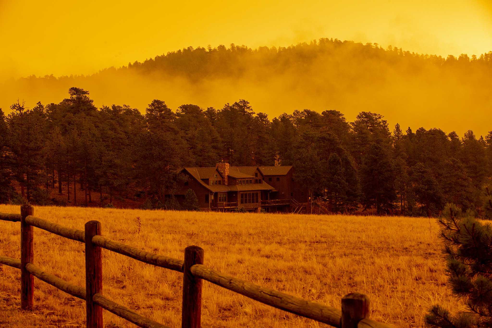
Gusty winds, low humidity and dry conditions have pushed federal forecasters to issue an “extremely critical” wildfire weather warning for northwestern Colorado, the first such notice in 15 years.
The warning, which covers a region just north of Grand Junction and includes portions of northeastern Utah, was last dispatched by the National Weather Service’s Storm Prediction Center for this region in 2006.
"This is really a special kind of heightened situation," said Matthew Elliott, a warning coordination meteorologist with the Storm Prediction Center. Elliott said winds in the area are regularly blowing around 30 miles per hour with gusts up to 60 miles per hour. "That's about as strong as you'd get in a severe thunderstorm," he said.
Forecasters have issued a slightly less severe “extreme” fire weather warning for nearly the entire western half of Colorado.
Multiple large wildfires have already ignited in this region, forecasters say, including blazes that are exhibiting signs of “extreme fire behavior,” which they said confirms that extremely dry vegetation is available to fuel deadly, destructive fires.
The most severe fire weather warning covers a sparsely populated region, but Elliott said the area is traversed by travelers and people recreating outdoors who could accidentally ignite a fire by throwing something out their vehicle window or letting a campfire get out of control.
Editors note: This story has been updated with additional information from the National Weather Service