A tropical storm system moving up along Mexico’s western coast is expected to bring rain to Colorado later this week.
Hurricane Nora formed off the Pacific shoreline Saturday and swept past Puerto Vallarta, a Mexican resort town in Jalisco state, leaving significant damage. The storm system is expected to weaken as it moves further inland towards the Arizona border.
Colorado won’t experience the extreme 75 mph winds and large rainstorms brought by the hurricane, but its weakened remnants are expected to cause showers in the state later this week, which may impact burn scar areas as soon as Wednesday.
“The potential will be there for heavy rainfall rates,” said National Weather Service meteorologist Greg Hanson. “Half an inch in 15 minutes or 20 minutes or so with this kind of moisture. So that's quite a bit for those burn areas to handle.”
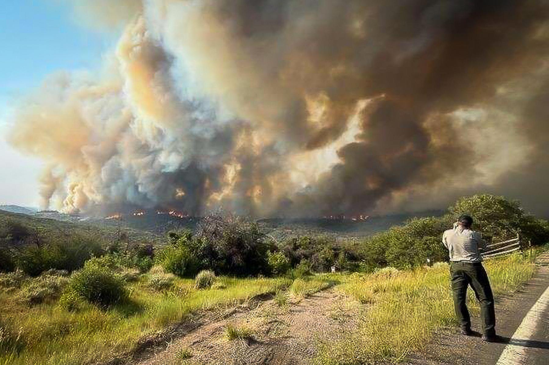
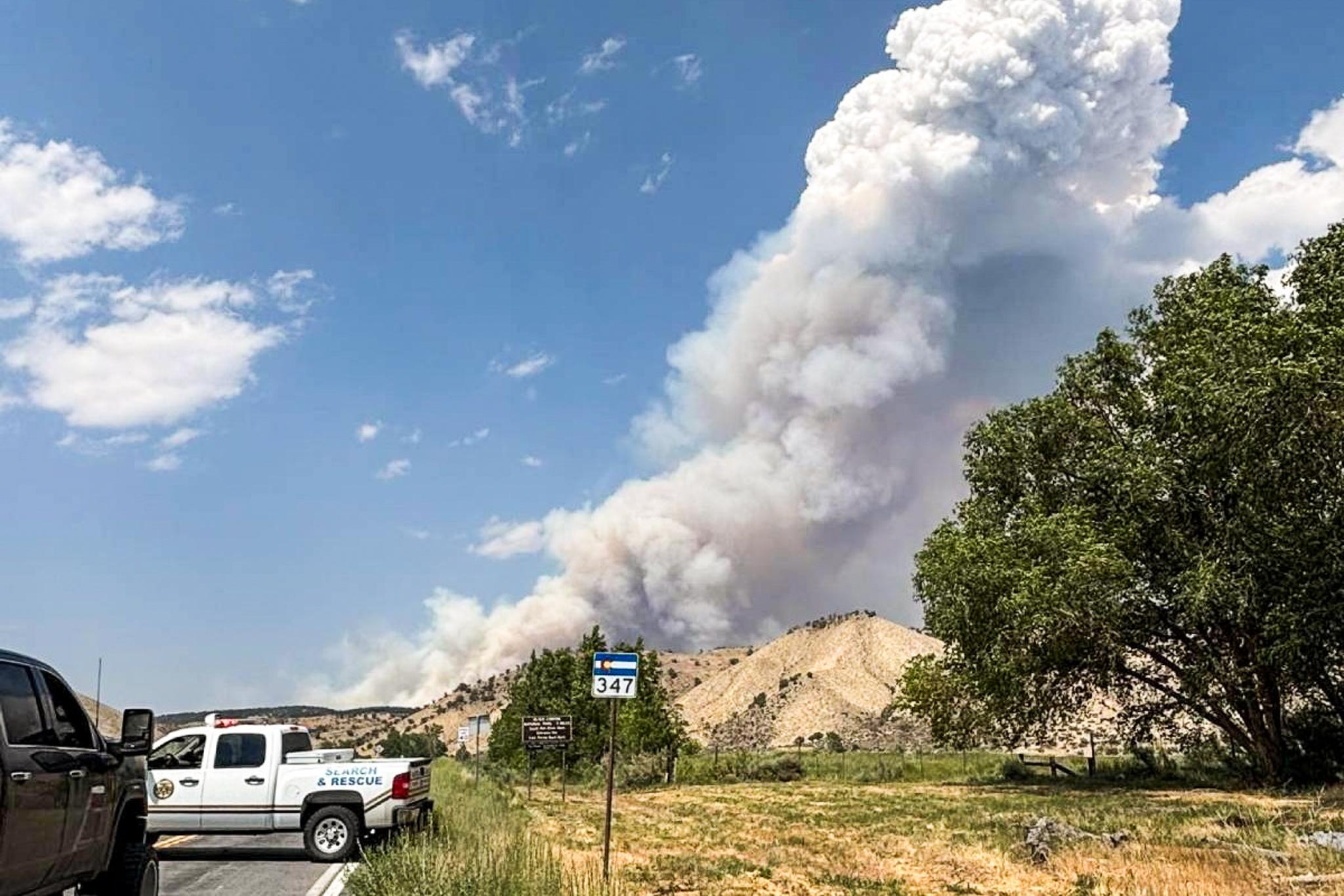
Flash floods have been a constant issue in Colorado this summer, as burn scars from last year’s historic wildfire season are susceptible to mudslides after rainfall. Interstate 70 through Glenwood Canyon, a major avenue for tourists and commerce, has been sporadically closed throughout the summer due to mudslides causing damage to the highway.
Hurricane Nora isn’t the only massive weather system impacting the U.S. The National Hurricane Center announced Sunday morning that Hurricane Ida had been upgraded to a Category 5 hurricane, with sustained winds of up to 150 mph. It made landfall in Louisiana on Sunday.
Forty-five firefighters from 14 different Colorado fire agencies are being deployed to Louisiana where they will provide search and rescue operations as needed.
CPR News’ Miguel Otárola contributed to this report.