Editor's Note: This story has been updated
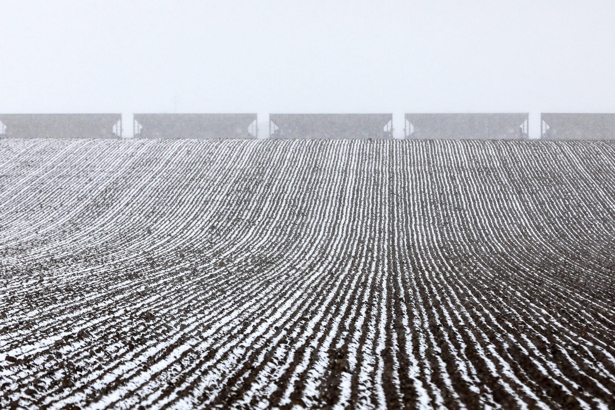
The first significant winter storm of the season dropped several inches of snow on mountain communities from the Western Slope to southern Wyoming Tuesday night, causing traffic jams and some temporary road closures.
Areas south of Montrose saw up to 7 inches of snow. Vail Pass recorded around 3 inches. Grand Lake and Nederland saw around 1.5 inches.
After getting more than a foot of snow this week, Wolf Creek in southwest Colorado declared it will open this weekend, the ski area to do so in the state, although only a handful of runs will be available. Loveland, Arapahoe Basin and Keystone have all said they plan to open by the end of October too.
The storm system has had statewide impact, leading to a grab bag of extreme conditions. Since Tuesday morning, the NWS has issued separate warnings for tornadoes, fire weather, snow, high winds and freezing temperatures across various regions.
“We encourage you to stay weather aware and check the forecast often!,” the NWS tweeted.
Forecasters expect clear skies on Wednesday before another winter system moves through the state Thursday night, bringing up to a couple inches of snow to the foothills and Palmer Divide.
Front Range communities along the northern I-25 corridor aren’t expected to see significant snowfall, said Russel Danielson, a meteorologist with the NWS in Boulder.
“A slushy half inch is possible for the Denver metro, ” Danielson said. “The south side of Denver may get more of a dusting.”