The winter weather we all have waited for is nowhere to be found.
It’s not just the case in Colorado, where more than 230 record high temperatures were broken in the first three days of December, according to data from the National Oceanic and Atmospheric Administration. News outlets have reported the hottest-recorded December temperatures in Wyoming, Montana, Washington and North Dakota.
Although temperatures in the Front Range have finally fallen to normal levels, a decent early winter snowfall remains but a memory.
State and regional weather and climate experts agree that though it likely will be a warmer winter than normal, it’s still unclear how much snow will end up falling in Colorado. National Weather Service forecasters say most of the state has an “equal chance” of having below or above-average snowfall this season. The lower third of the state is projected to have less snow than average.
“It’s all over the backdrop of climate change,” said Greg Hanson, a meteorologist with the National Weather Service in Boulder. “We’ve been trending warmer for years now.”
A potentially warmer, drier Colorado winter is also tied to La Niña, which is occurring for the second year in a row. This climate pattern starts by churning up colder water in the Pacific Ocean. That pushes the jet stream north and brings wetter weather to the Pacific Northwest and drier, warmer conditions to Colorado and other western states.
“The storm systems that do come through, they’re pretty starved of moisture by the time they get here,” Hanson said. “Any precipitation we get is light and quick hits. And that’s what we’ve seen so far.”
The combination of those two factors — climate change and La Niña — have also affected surrounding states, said Rezaul Mahmood, director of the High Plains Regional Climate Center. Mahmood said his colleagues in Montana have observed “very abnormal” weather, including temperatures nearing 70 degrees on Dec. 1.
Mahmood is concerned about how the dry and warm weather is affecting agriculture and other industries that depend on the environment. Winter wheat planted in Kansas is now too tall to be covered by snow, he said. Grasses continue to grow and take in moisture from the soil, making it less available during the spring and summer. He’s heard plants have already started to bloom in Wyoming, putting them at risk when freezing temperatures return.
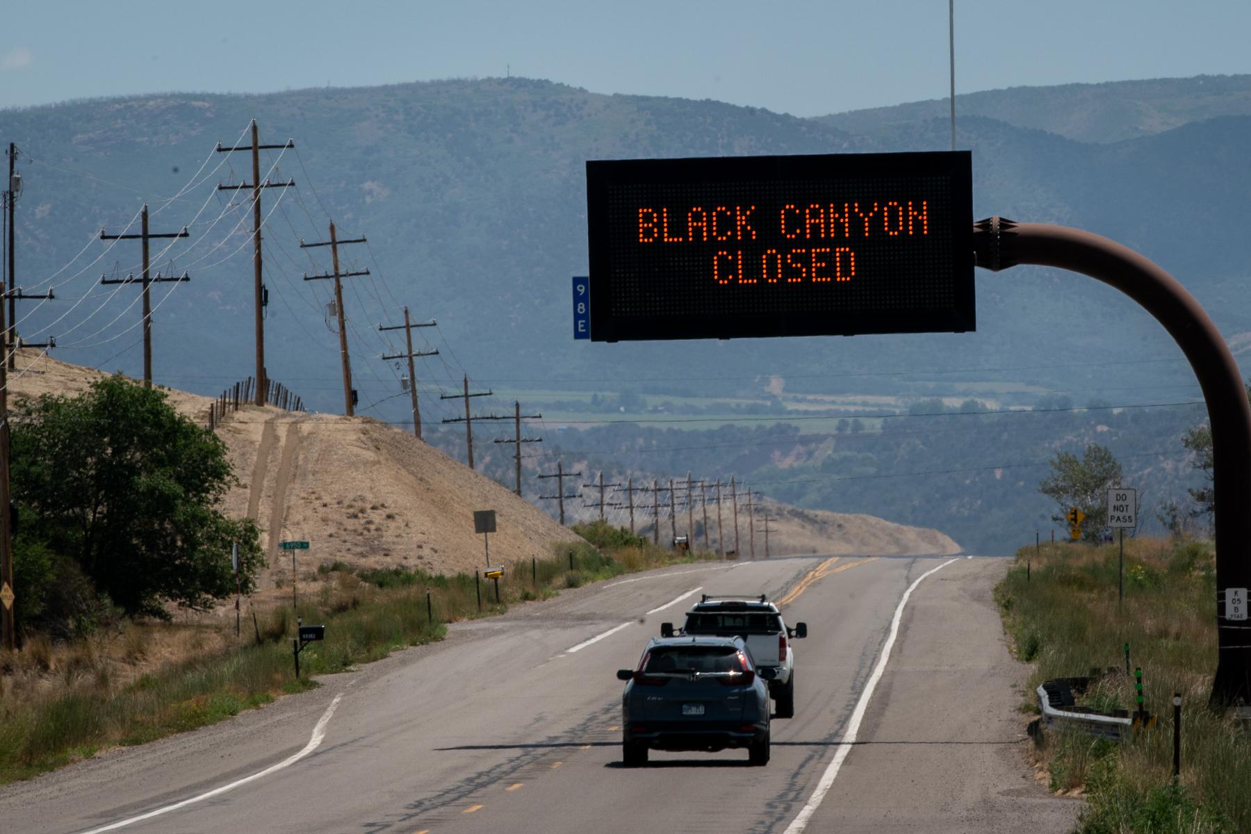
The placid conditions culminated in a “haboob” dust storm that wafted over the Denver area on Sunday. A cold front picked up dust from the plains, parched from the lack of rain and snow.
If Colorado’s warm streak continues, it could hurt its long-term water reserves. If temperatures stay warm, precipitation is more likely to fall as rain, much of which would be lost as runoff, Mahmood said. Colorado and other western states rely on precipitation accumulating as snowpack in the mountains, where it builds up and slowly melts to replenish the soil and water supply.
“These kinds of things, actually in very subtle ways, impact us,” he said.
The period of calm weather may be over, at least for the short term. Gusty winds blew cold air into the Front Range on Sunday, dipping daily temperatures into the 40s and 50s and creating a potential for snow in Denver on Friday.
“That’s the first part of the equation to get snow,” Hanson said. “You need cold temperatures and then you need some precipitation coming through.”
- Historically excluded from Colorado River policy, tribes want a say in how the dwindling resource is used. Access to clean water is a start.
- The message from scientists on Colorado’s lack of snow so far: Don’t panic
- Promised reviews of sage grouse protections, oil and gas policies could impact Colorado’s public lands
- If the Colorado River keeps drying up, a century-old agreement to share the water could be threatened. No one is sure what happens next.