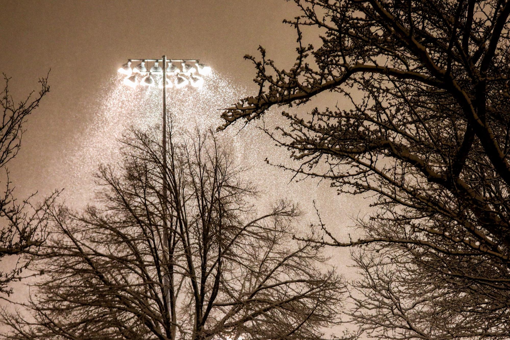
A rainy and snowy weather system will roll through most of the state starting Wednesday evening before dissipating ahead of the weekend.
Most of the precipitation will fall on the eastern side of the Continental Divide. Mountain areas just west of Denver could see up to 18 inches of snow through Friday. Castle Rock and the I-25 passageway between Denver and Colorado Springs may also see 8 to 12 inches of snow, possibly creating dangerous travel conditions.
A couple inches of rain will fall on the Front Range Thursday before it turns into snow overnight. Weather officials said commuters should expect dangerous road conditions in the morning.
“Locations from Boulder south into Denver and then down into Castle Rock probably have a pretty icy, snowy commute in the morning,” National Weather Service meteorologist Scott Entrekin said.
Temperatures are not expected to reach the level of February's single-digit cold front. Highs will remain above freezing.
Meanwhile, the Western Slope won’t be getting much moisture. The NWS predicts Grand Junction will get less than an inch of rain and no snow.
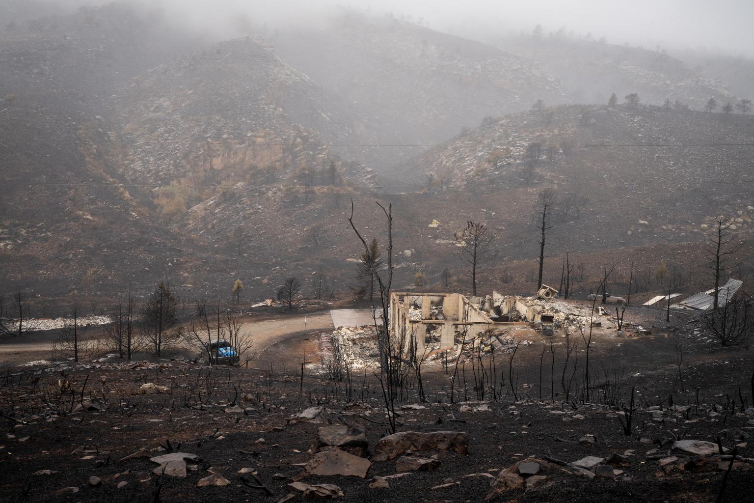
Average snowfall in the state this month remains below normal levels, but precipitation over the last two months exceeded expectations. Despite the recent moisture, Colorado is still experiencing widespread drought.