Brett KenCairn had hoped it would be the hottest day of the year in Boulder.
“We've been watching the projections for the last six weeks,” said KenCairn, the city’s senior policy advisor on climate, outside his offices last week. “I think we were pretty successful.”
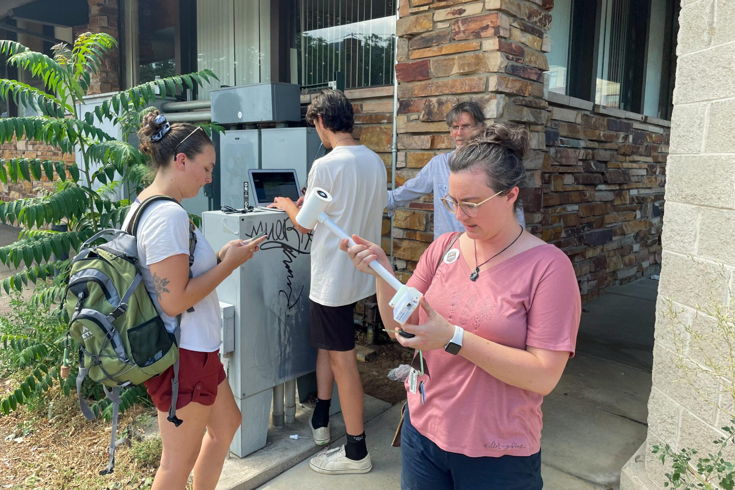
KenCairn spent the day coordinating a group of 100 students, volunteers and citizen scientists and sending them across the city on computer-generated routes to collect heat and humidity readings.
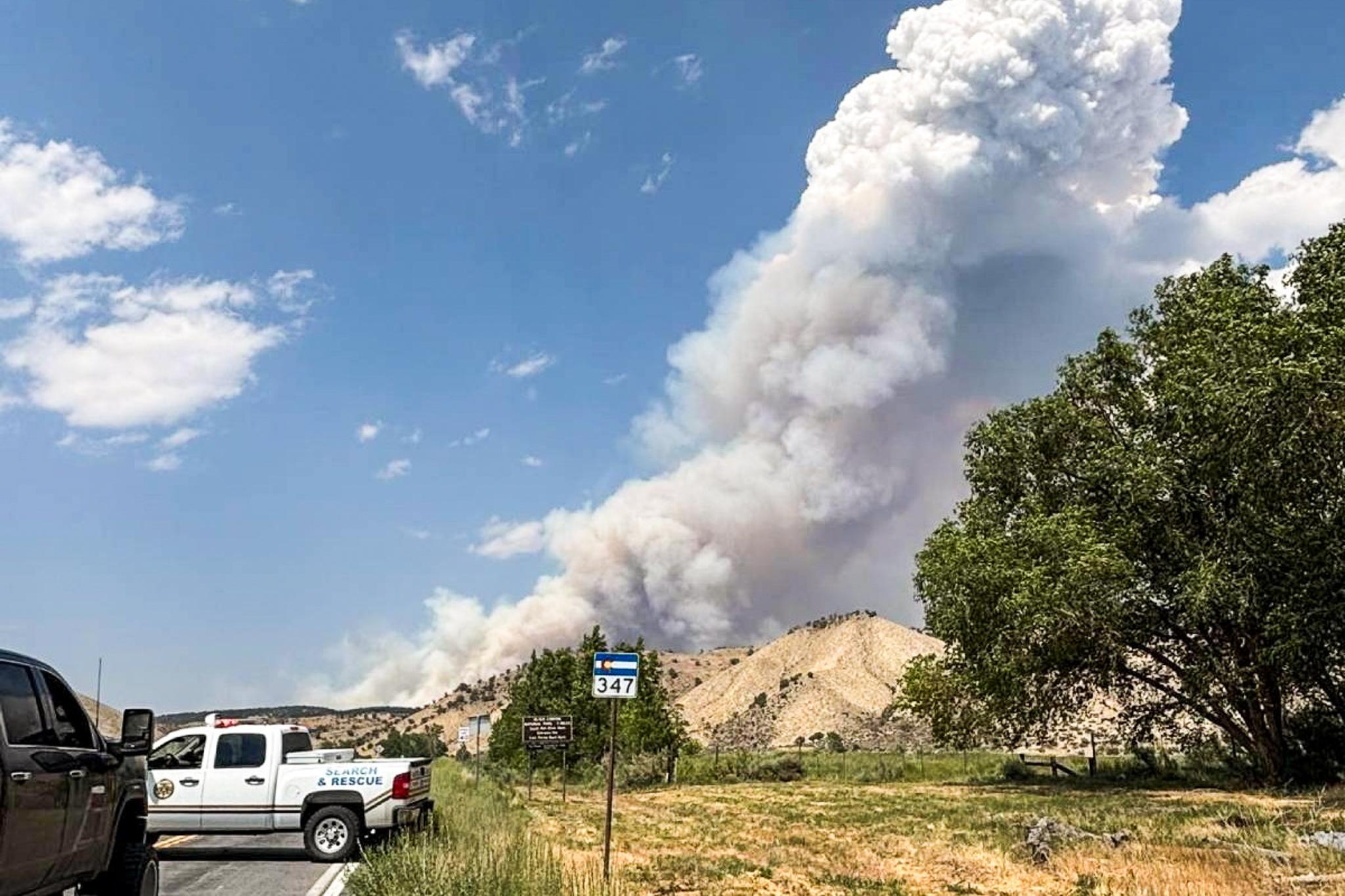
The study, part of a National Oceanic and Atmospheric Administration project in Boulder and 13 other cities, is designed to better map urban “heat islands,” areas with buildings and paved roads that radiate heat and are often several degrees hotter than their greener, natural surroundings.
NOAA began mapping heat islands five years ago to show local leaders which residents are most exposed to heat. Extreme heat is the leading weather-related cause of death in the United States, and scientists predict climate change will bring more hot and dry days to Colorado and the West.
Neighborhoods with lower incomes and more people of color are likely to suffer the worst effects of heat, said Adam Hall, a graduate student in CU Boulder’s environmental program.
“Boulder doesn't always have the reputation of being a diverse city,” Hall said. “But those communities do exist here.”
Despite being whiter and wealthier than the rest of Colorado, Boulder has a poverty rate that is more than twice the state average and a greater fraction of people who walk, bike or use public transportation, according to data from the U.S. Census Bureau.
More accurate heat maps could show which neighborhoods are most exposed and lead the city to plant trees for shade, KenCairn said.
The Boulder volunteers fanned out in cars, on bicycles and on foot, armed with weather sensors that recorded temperature and humidity data every second.
The team’s routes included overlooked areas like mobile home parks and industrial zones, Hall, the college student, said.
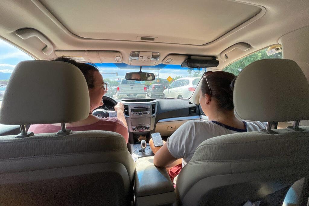
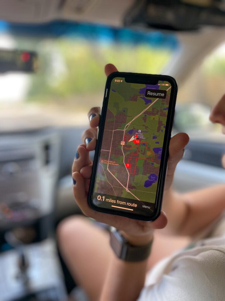
Ariana Borrello, a recent CU graduate and consultant on the heat-mapping project, secured a cylindrical weather sensor to the passenger’s side window of her Subaru Outback.
Together with Melissa Hunter, another graduate student, the pair drove along a grid in eastern Boulder past two-story bungalows and office parks.
The trek also took them past the city’s Gerald Stazio soft ball fields, a county recycling center and an abandoned power plant. The pair arrived back at the city’s headquarters about an hour later. The city’s temperature climbed to 97 degrees that day, according to the National Weather Service.
The city will send the weather data collected by car to NOAA researchers, who will process it this fall, KenCairn said. It will present the heat maps to residents later this year.