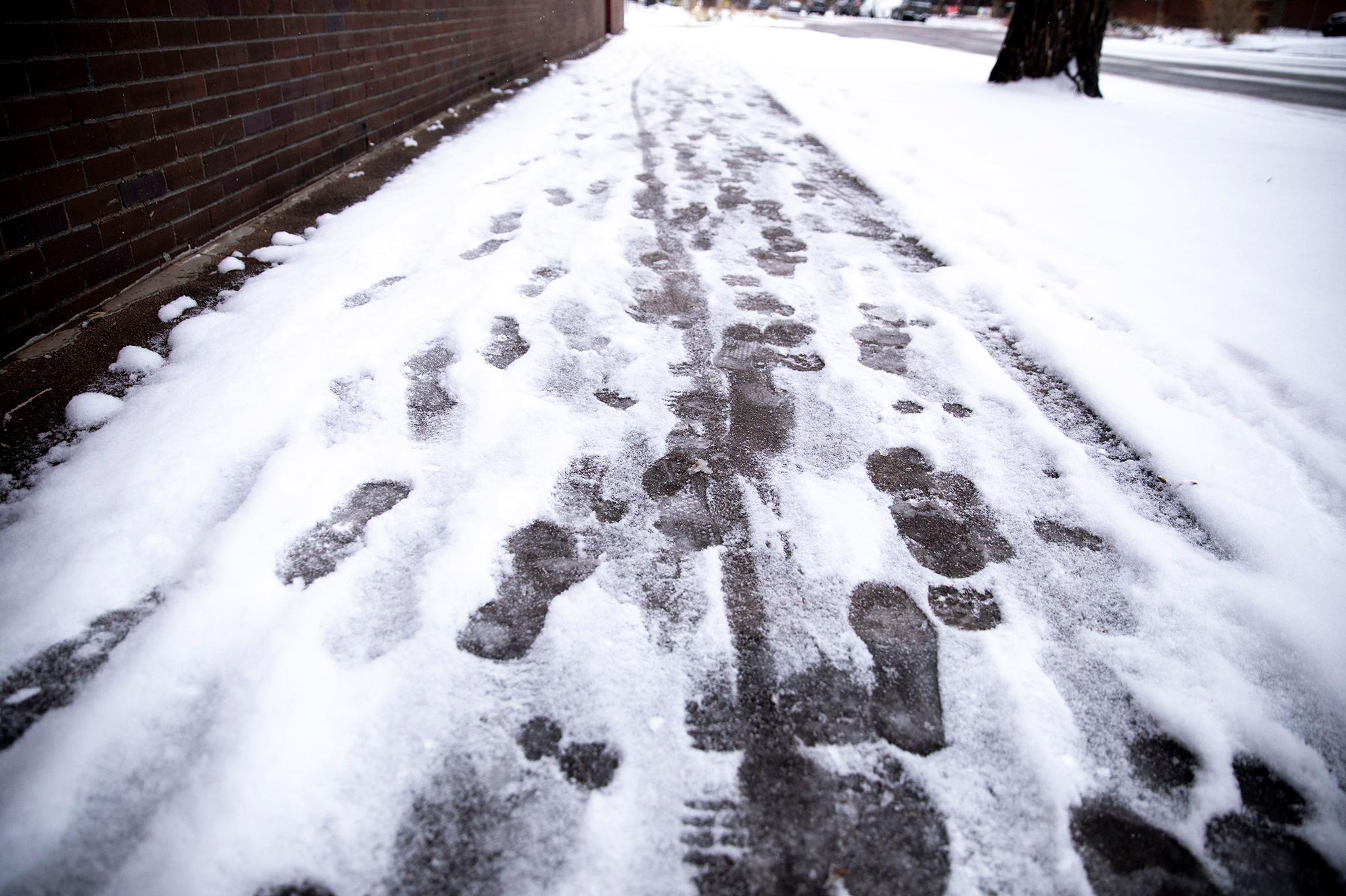
It’s going to be windy along the Front Range heading into the weekend, while most of the snow will hit the Western Slope.
The National Weather Service Office in Boulder forecasts wind with gusts from 40 to 50 miles per hour in Denver and Boulder starting Thursday night. Higher wind gusts are expected in the foothills and out on the northeastern plains.
“We're looking for four to eight inches for most of our high mountain areas and then on the east side of the mountains coming down into the foothills,” said Chad Gimestad, meteorologist at the NWS Office in Boulder. “We could see wind gusts up around 75 or 80 miles an hour mostly during that same time period the early to middle part of the day on Friday.”
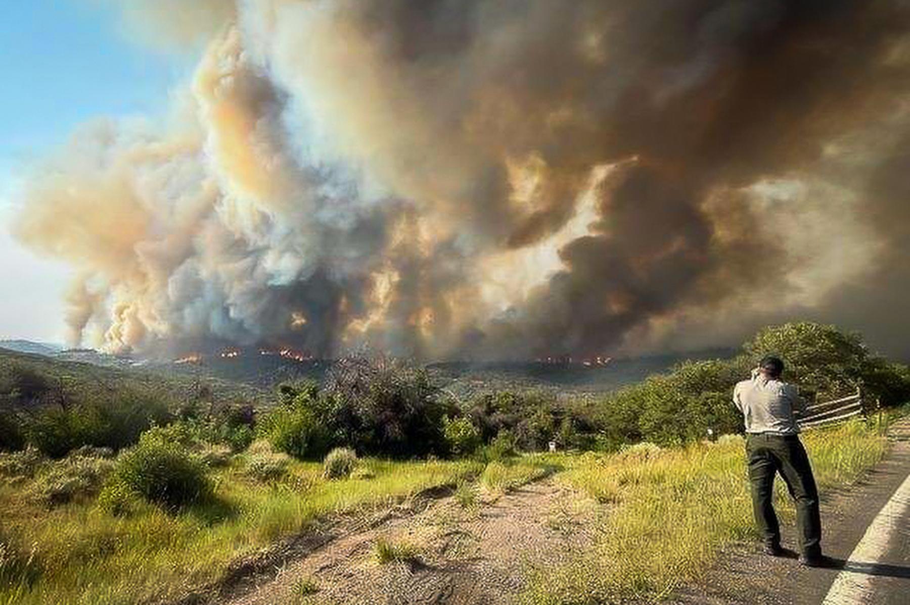
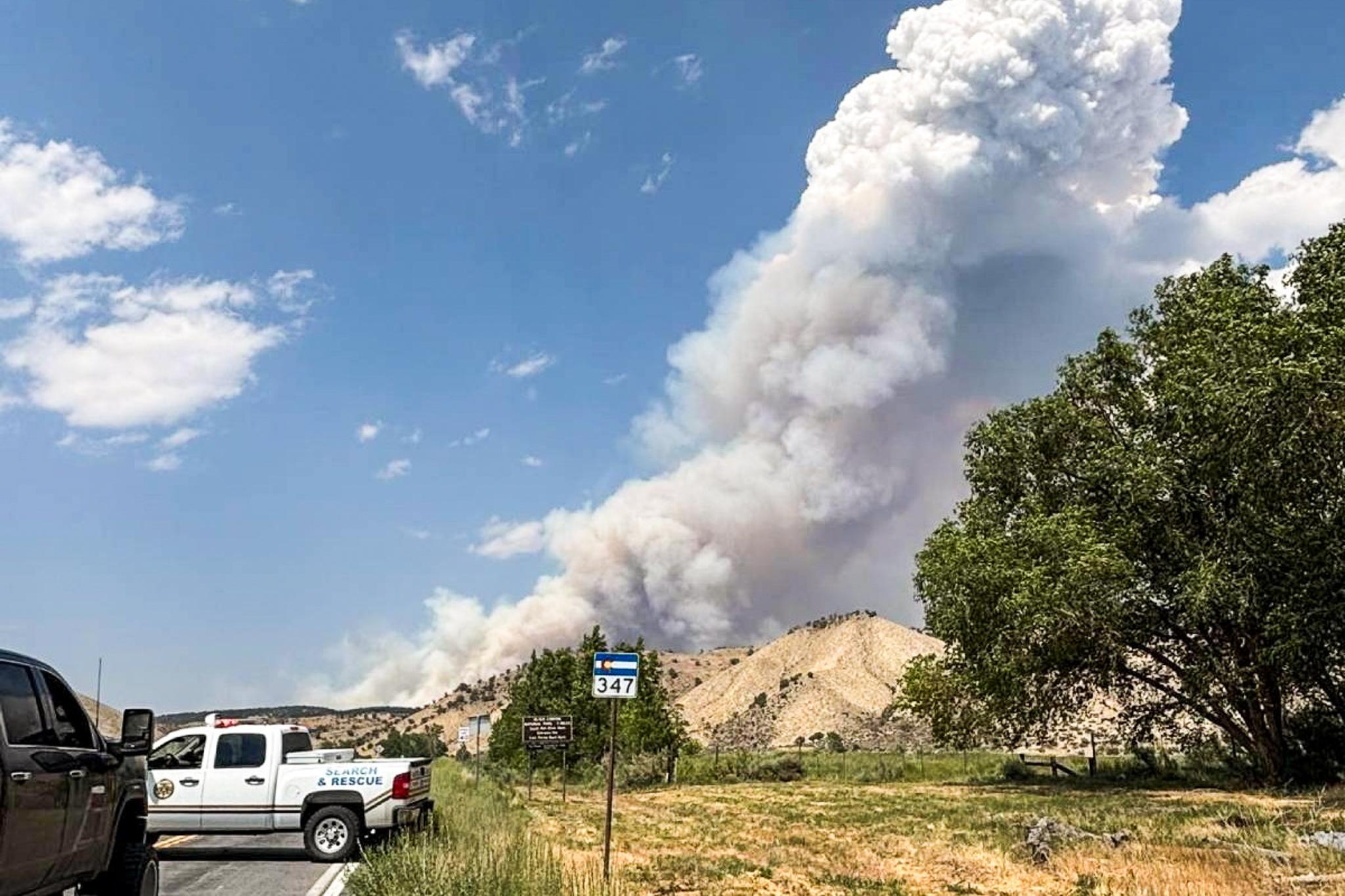
Brief snow rain and snow showers are expected in the mountains, but not along the lower elevations on the Front Range. Mountains on the Western Slope are expected to get 5 to 10 inches of snow beginning at midnight Friday through the afternoon.
Open Snow founding meteorologist Joel Gratz says this year’s snowfall is average compared to last year.
“Last year we had very little snow in a lot of the Colorado mountains heading into the holidays,” Gratz said. “Then, kind of had a holiday miracle where a bunch of snow happened in late December, which is useful because that's when a lot of people descend on Colorado for holiday skiing.”
The Colorado Department of Transportation issued a high wind warning along I-25 from Denver to the New Mexico state line. In preparation for potential highway closures and blown-over vehicles, CDOT is staging maintenance personnel and equipment along I-25. Travelers, particularly commercial drivers, are advised to use caution.
Drivers should also refer to Colorado’s Traction Law when traveling during the winter.