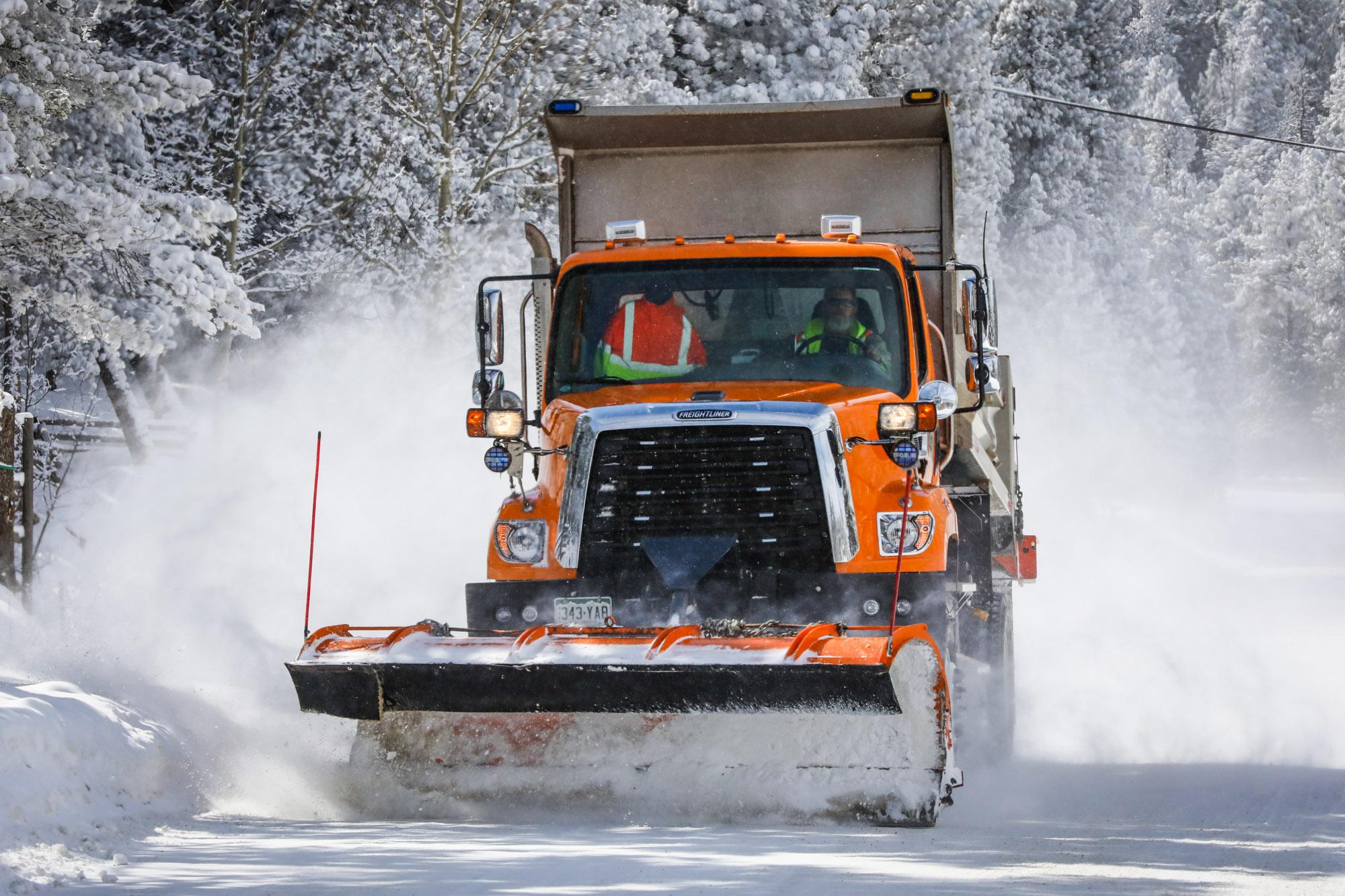
A large winter storm system is forecast to sweep across the state this week. It could dump up to a foot of snow in many mountain communities and bring blizzard-like conditions to a stretch of the plains northeast of Denver.
In Denver itself, accumulations will likely vary east to west. Models currently show the brunt of the storm skipping over the I-25 corridor.
Adverse travel conditions are expected to begin Monday afternoon and last through at least Tuesday in many areas, according to the National Weather Service. Visibility on major mountain passes will be limited.
The storm will likely leave about a foot of snow in Aspen, Vail and Steamboat Springs.
Interstates on the Eastern Plains could see whiteout conditions and damaging wind gusts up to 60 miles per hour.
Snowfall is expected to start in the Northern and Central mountains after 12 p.m. on Monday and increase in intensity through the evening. Communities in the Front Range foothills and Metro Denver areas will see some snow overnight.
After a final mild day Monday, Temperatures in Denver will plunge to below freezing through the rest of the week, but little accumulation is expected. While moving over the Front Range, the storm will gain strength and unleash a blizzard-like blast on the northeast part of the state on Tuesday, said Chad Gimmestad, a forecaster with the NWS.
“It's not gonna be a big deal for places along the I-25 corridor,” Gimmestad said. “But once you start going east of Denver International Airport and definitely by the time you get to Fort Morgan, it'll be worse.”
Denver will see less than 3 inches. Aurora, Castle Rock and Greeley could see between 3 to 6 inches of snow, Gimmestad said. Towns farther east, such as Fort Morgan and Sterling, could see up to a foot.
Southern Colorado, including Colorado Springs and Pueblo, will be on the edge of the storm. The biggest weather impacts there will likely come from strong winds and freezing temperatures, Gimmestad said.
Those winds have prompted a red flag fire warning for Pueblo and several other southern Colorado counties Monday. Officials are asking people in the region to be careful not to spark a wildfire while these conditions continue.
After Tuesday, light snow will stick around northwest Colorado and many mountain communities through the end of the week.
On the Eastern Plains, the worst blizzard conditions will end after Tuesday. But some drifting snow could stick around through Wednesday.
“That might hinder clearing roads, and people in rural areas could have a situation where they’re snowed in for a couple of days,” Gimmestad said.
The weather will offer only a temporary reprieve to Colorado’s long standing drought. While Denver has stayed fairly dry so far this winter, most mountain communities have seen a healthy amount of snow thanks to a moisture-heavy La Niña weather pattern.
A large swath of the central and southern mountains are sitting outside of drought conditions for at least the second straight month.
That’s good news for ski resorts and farmers on the Eastern Plains, who depend on winter snowfall for the growing season, Mike Nelson, chief meteorologist for Denver 7, told Colorado Matters.
“We’re slightly above normal for mountain snow pack at this point in the season,” Nelson said. “That's important to farmers at this stage. In the spring, they'd like to see a few good wet storms as well, hopefully.”


