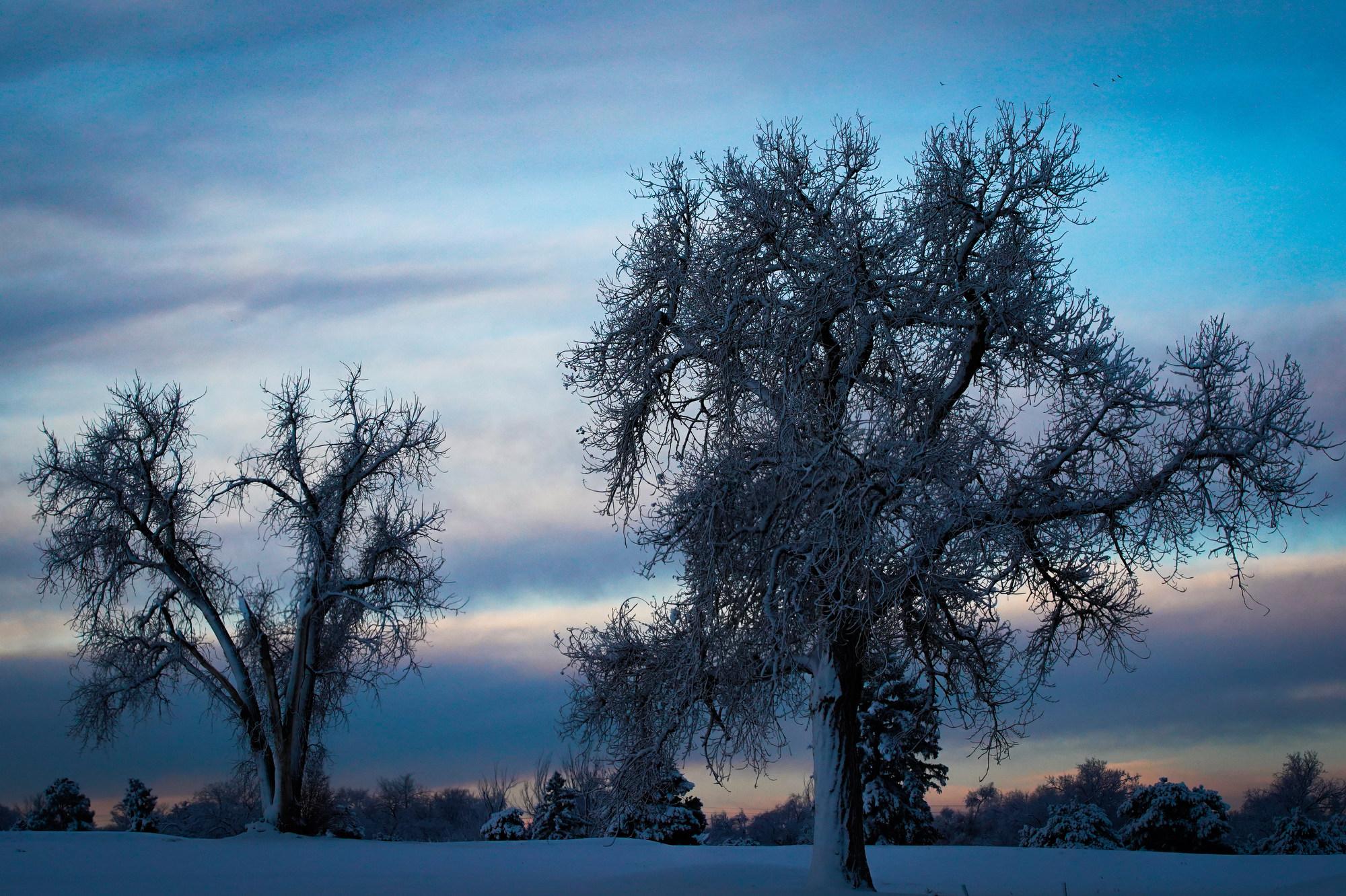
Freezing drizzle is leaving a slick, dangerous glaze on roads and highways across the state, according to the National Weather Service. Snow is expected to taper off this morning before picking back up again this afternoon.
The forecast has triggered winter storm and avalanche warnings from southern Colorado all the way up to Steamboat Springs, according to the National Weather Service.
The Denver metro area could get anywhere from 2 to 6 fresh inches, while the central mountains can expect 6 to 12 inches. In the northern mountains near Steamboat Springs and the Wyoming border could see over 1 foot of new snow, said Caitlyn Mensch, a meteorologist at the National Weather Service.
Complicating the forecast, Mensch warns, is what forecasters call “the glaze.”
This happens when a wintery mix that includes freezing rain falls on already snow-packed streets and sidewalks. This could create a treacherous sheet of ice beneath the expected blanket of fresh snow that will fall overnight, Mensch said.
“A glaze on the streets and highways is not good,” said Caitlyn Mensch, a meteorologist at the National Weather Service. “Luckily, a lot of people are off tomorrow.”
Up in the mountains, where tens of thousands of people are expected to travel home tomorrow, roads and highways will likely be slick and snow-packed.
Ahead of the storm Sunday, highways will mostly be wet, Mensch said.
“It will be better to travel this afternoon rather than tomorrow morning,” she said. “The morning travel could be worse.”
Forecasters said heavy snowfall has destabilized many mountainsides and fueled dangerous avalanche conditions across much of the high country. Avalanche warnings have been issued for most mountain ranges in Western Colorado, including Rocky Mountain National Park and the Gore Range, where people flock to backcountry ski and snowshoe.
At least one person died in an avalanche over the weekend, according to the Summit County Rescue. The person was backcountry skiing near Breckenridge Ski Resort.“Heavy snow and strong winds have created very dangerous avalanche conditions in the backcountry,” one warning read. “Large and dangerous avalanches will be very easy to trigger. Avalanches will run naturally.”