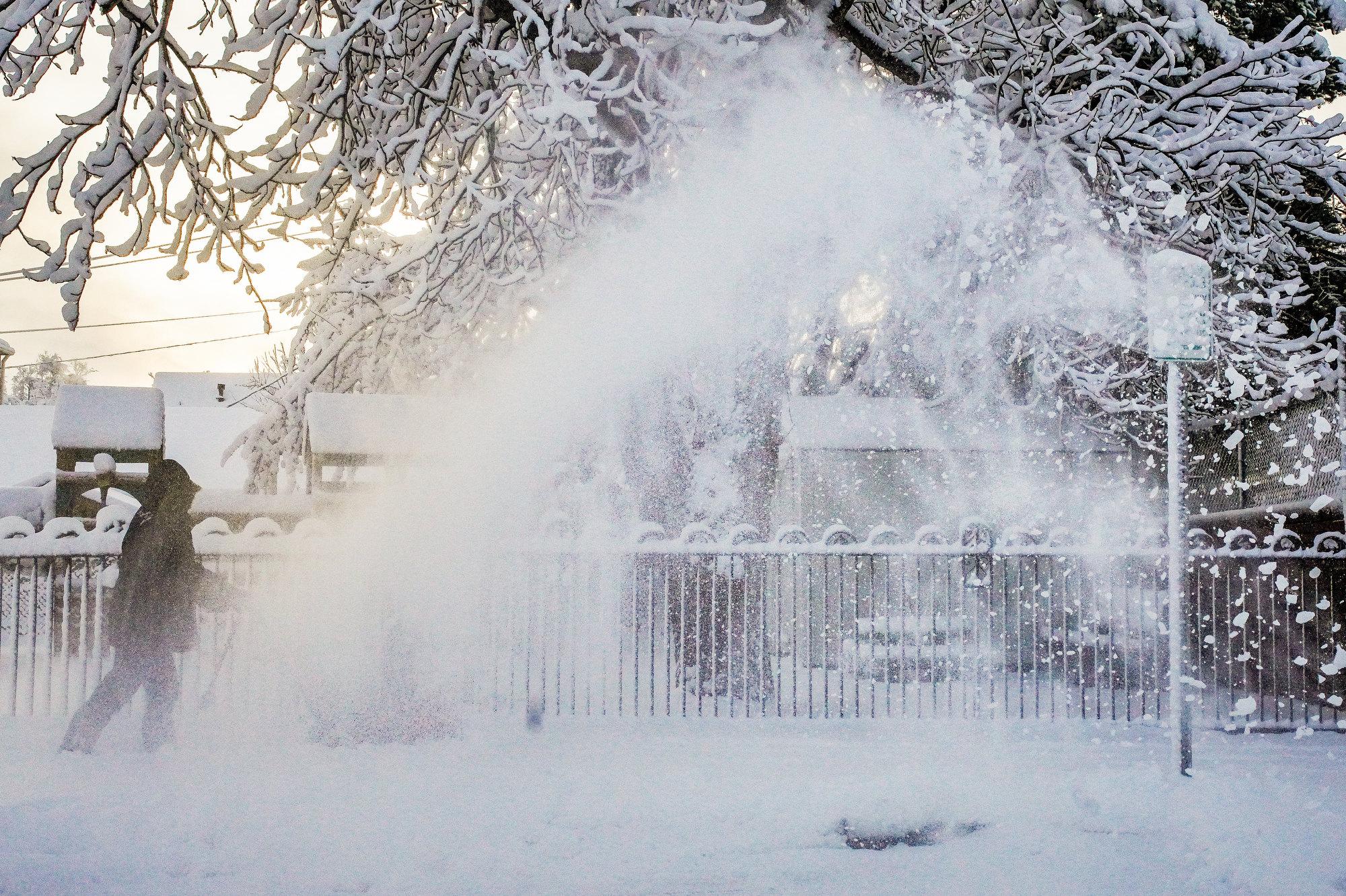
A large winter storm system is moving across Colorado, and it will bring at least several inches of snow, freezing rain and strong winds to most communities. Parts of western and southwestern Colorado will see blizzard-like conditions on Wednesday.
Most counties are under various winter weather and travel alerts through Wednesday evening. And temperatures will plummet overnight, with lows in the single digits for much of the Front Range and below zero in areas around Fort Collins.
The National Weather Service expects the storm to pick up again and last through most of the day, but temperatures will stay well below freezing through Thursday.
Along the Front Range, Boulder and Larimer counties will see the most snow. Both counties already logged 4 inches by Wednesday morning, and higher elevation areas could pick up another 5 inches or more, according to the NWS.
Metro Denver has seen about a half an inch. Storm totals will likely range from 1 to 4 inches by Thursday morning.
Parts of western Colorado and the eastern San Juan Mountains are under blizzard warnings through early Thursday. The storm could produce periodic snow squalls and white-out driving conditions along roadways, according to the NWS.
Driving conditions have proved challenging across much of the state, and Wednesday’s rush hour could be dicey. Periodic road closures are expected due to crashes, according to the Colorado Department of Transportation. Roads will likely stay snow-packed and icy through Thursday.
Temperatures will be below freezing in Breckenridge and Vail on Wednesday, while Denver and Boulder’s highs will be in the teens. Forecasters say extreme cold will hang around much of the state for at least another day.
Wind chills are expected to drop to as low as -25 degrees in metro Denver and the Eastern Plains overnight Wednesday into Thursday morning. Denver and northern parts of the state are under a wind chill advisory from 8 p.m. Wednesday to 10 a.m. Thursday.
By Friday, the weather should start to warm up across much of the state, especially the Front Range, NWS meteorologist Zach Harris said.
“By Friday in Denver, we'll be sitting near or above freezing. And then it looks mild again for the weekend with highs in the low to mid fifties,” he said.
The mountains could see more snow to end the week.
This week’s storm is the latest in a very snowy season. Denver is sitting at 40.7 inches of snow so far this winter, which is well above average, Harris said.
“We've seen a lot more snow in Boulder and portions of the foothills too,” he added. “And we'll be adding on a few more inches this week too.”
The active winter has helped improve drought conditions slightly across much of the state. Snowpack is at or above average for most mountain ranges. The cold has also driven up natural gas demand and energy prices for many utilities and consumers. Bills for some customers have been more than double this time last year, prompting Colorado lawmakers to investigate possible price gouging from utilities.