Updated at 8:15 a.m.
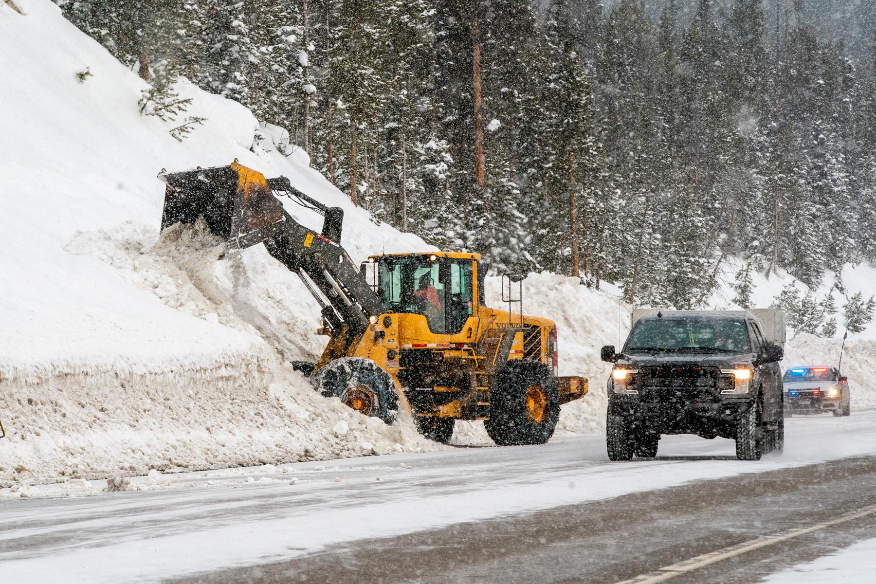
A late-March snowstorm dumped several inches of snow along the Front Range Sunday night. Forecasters expect the system to slowly move past the I-25 corridor by early Monday afternoon.
Ice and snow have made road travel difficult through the central mountains, which have gotten about two inches of snow. Westbound I-70 was temporarily shut down between Eagle and Edwards due to a crash, but it reopened around 8 a.m.
Law enforcement agencies have reported other crashes and spin outs along I-25 due to slick conditions.
“You may hold off driving Monday morning if you can,” said Caitlyn Mensch, a forecaster with the National Weather Service in Boulder.
Parts of Fort Collins have logged up to nine inches of snow so far, Mensch said. Metro Denver and Boulder have seen between one to three inches, and can expect a few more before the storm moves out east.
The northeast plains are under a winter weather advisory through 6 p.m. Monday. Many communities from Greeley to Fort Morgan could see up to 6 inches of snow and wind gusts around 40 miles per hour.
“It looks like that heavier axis of snow will stay farther northeast,” Mensch said.
Farther south along the Front Range, temperatures will warm up to a high around 45 in Pueblo. Wind gusts will be high too.
The NWS has issued a red flag warning for Pueblo and Walsenberg.
Grand Junction and most of the Western Slope will see partly cloudy skies and dry weather Monday.
Most of the state should stay relatively dry the rest of the week, Mensch said. High temperatures along the Front Range are expected to reach the mid-50s and 60s starting Tuesday.
“We’ve officially hit that spring-time pattern in Colorado,” she said. “We’ll get a snow storm and then things will warm back up again.”