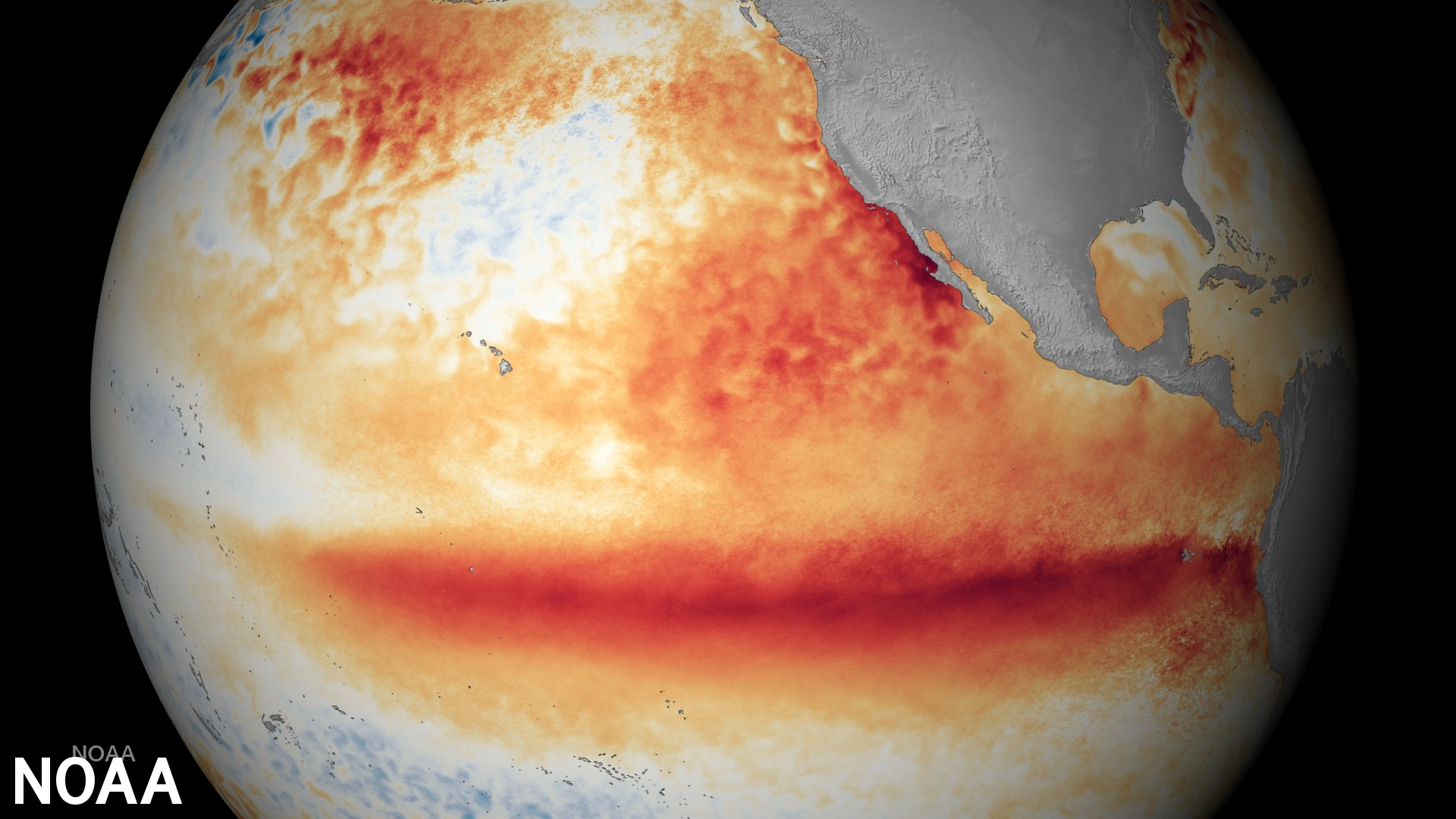
After three back-to-back years of periodic cooling of ocean water near the equator west of South America, the National Oceanic and Atmospheric Administration recently confirmed those ocean currents had shifted to their warm phase.
Move over, cool La Niña — warm El Niño is back.
The periodic cooling and warming of Pacific Ocean currents — colloquially referred to by their nicknames La Niña and El Niño — can trigger profound effects on weather and climate patterns worldwide, including Colorado.
Weather and climate systems are complicated, and predicting the trickle-down effects of warming and cooling in ocean currents comes with some measure of uncertainty. Still, climate researchers at NOAA are confident the warm El Niño phase will continue through the summer and fall and last through March 2024.
El Niño’s effects in Colorado
Climatologists with the Colorado Climate Center say the climatological crystal ball is still a bit murky, but El Niño is already starting to have a small effect on the state and will likely start being a significant factor in late summer.
- More rainfall and more drought
Climatologists with the Colorado Climate Center say El Niño could mean a slightly greater chance for a weaker summer monsoon in southwestern Colorado and a stronger likelihood of rainfall in the Eastern Plains.
That raises the odds of a drier-than-normal July and August in the southwest and a wetter-than-average season in the eastern part of the state, said Assistant State Climatologist Becky Bolinger.
- Warmer temperatures
The El Niño ocean pattern also makes it more likely that July, August and September will be warmer than normal, especially in southern Colorado, the easternmost corners of the state, and other regions where drought often lingers. If El Niño does bring more wet weather to eastern Colorado, that will help keep temperatures in check, Bolinger said.
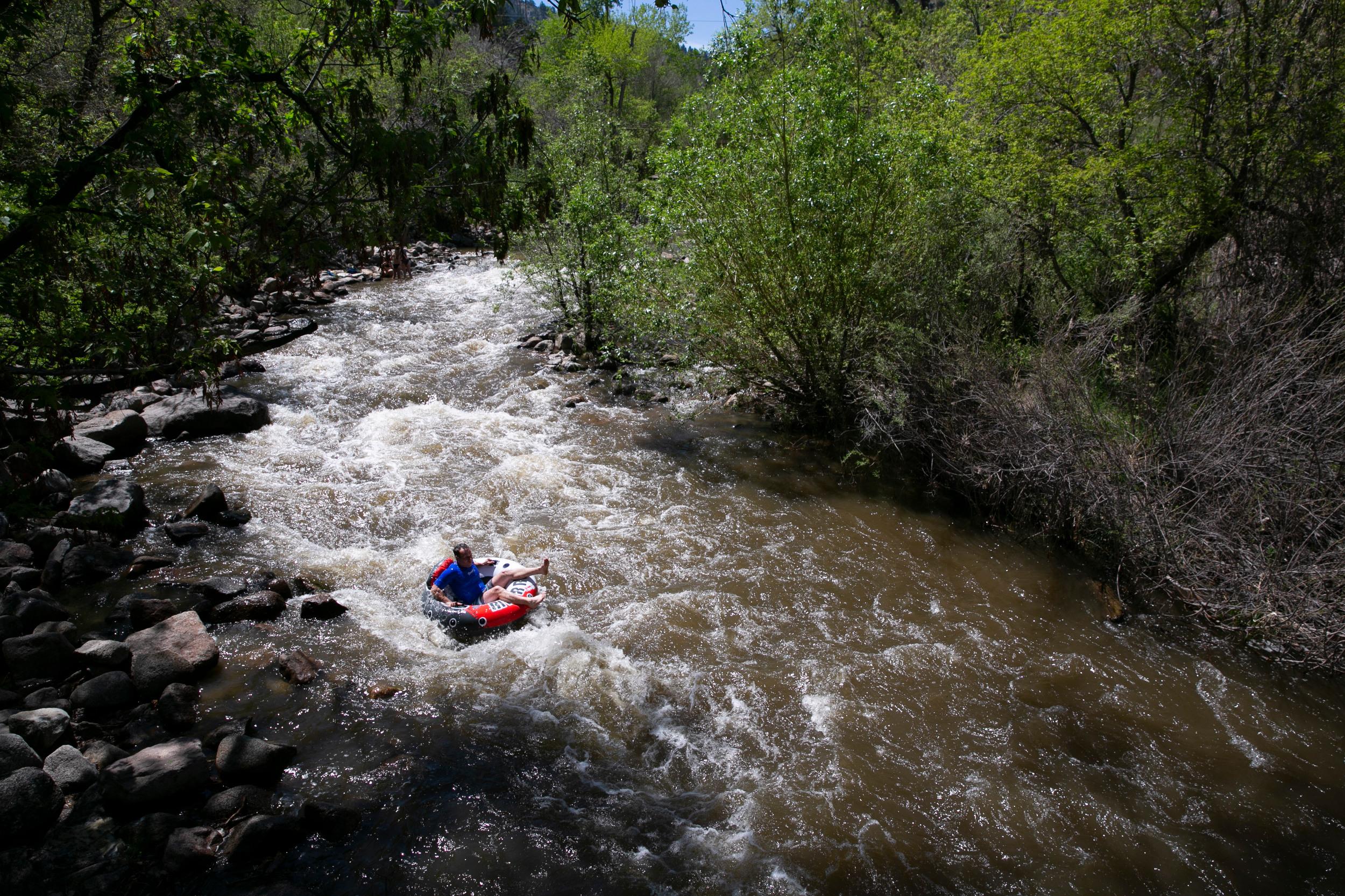
- Wetter, snowier fall
Right now, data suggest El Niño might increase the likelihood of more rain and snow in September, October and November.
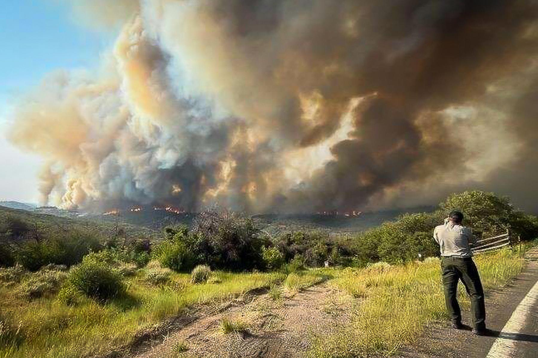
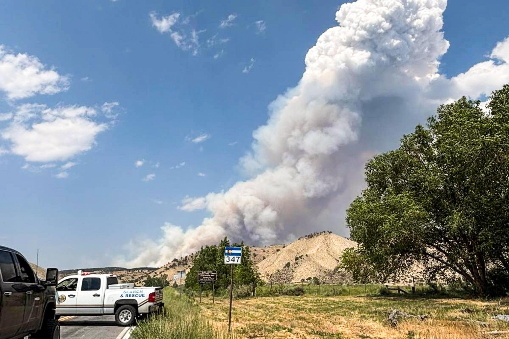
- Higher risk of summer flooding
Colorado had a very snowy winter and a wet spring. Most of that moisture fell before El Niño formed. Still, any extra moisture triggered by the warming ocean pattern raises the flood risk in many areas, said State Climatologist Russ Schumacher. "Some of the biggest flash floods in Colorado have happened in El Niño summers," he said. "There's no guarantee that we'll see something like that this year, but the risk is going to be there, especially as we get into the late-July and early-August period that is typically quite rainy."
El Niño goes global
There is a lag between warming ocean temperatures and their influence on global air temperatures. It's likely that El Niño is already having a small effect on current climate patterns, but Rocky Bilotta, a climatologist with NOAA's National Centers for Environmental Information, said the warming ocean phase would likely be a bigger factor around the world in 2024.
"That doesn't necessarily mean that we're not already seeing an effect … but it probably would have more effect later," he said on a Wednesday briefing call.