Updated at 3:30 p.m.: The National Weather Service in Boulder has issued a severe thunderstorm watch until 11 p.m. for the Front Range and Eastern Plains. The watch includes Denver, Boulder, Jefferson, Broomfield, Glipin, Douglas, Clear Creek, West Elbert, Adams, Arapahoe, Larimer, El Paso, Pueblo and Weld counties.
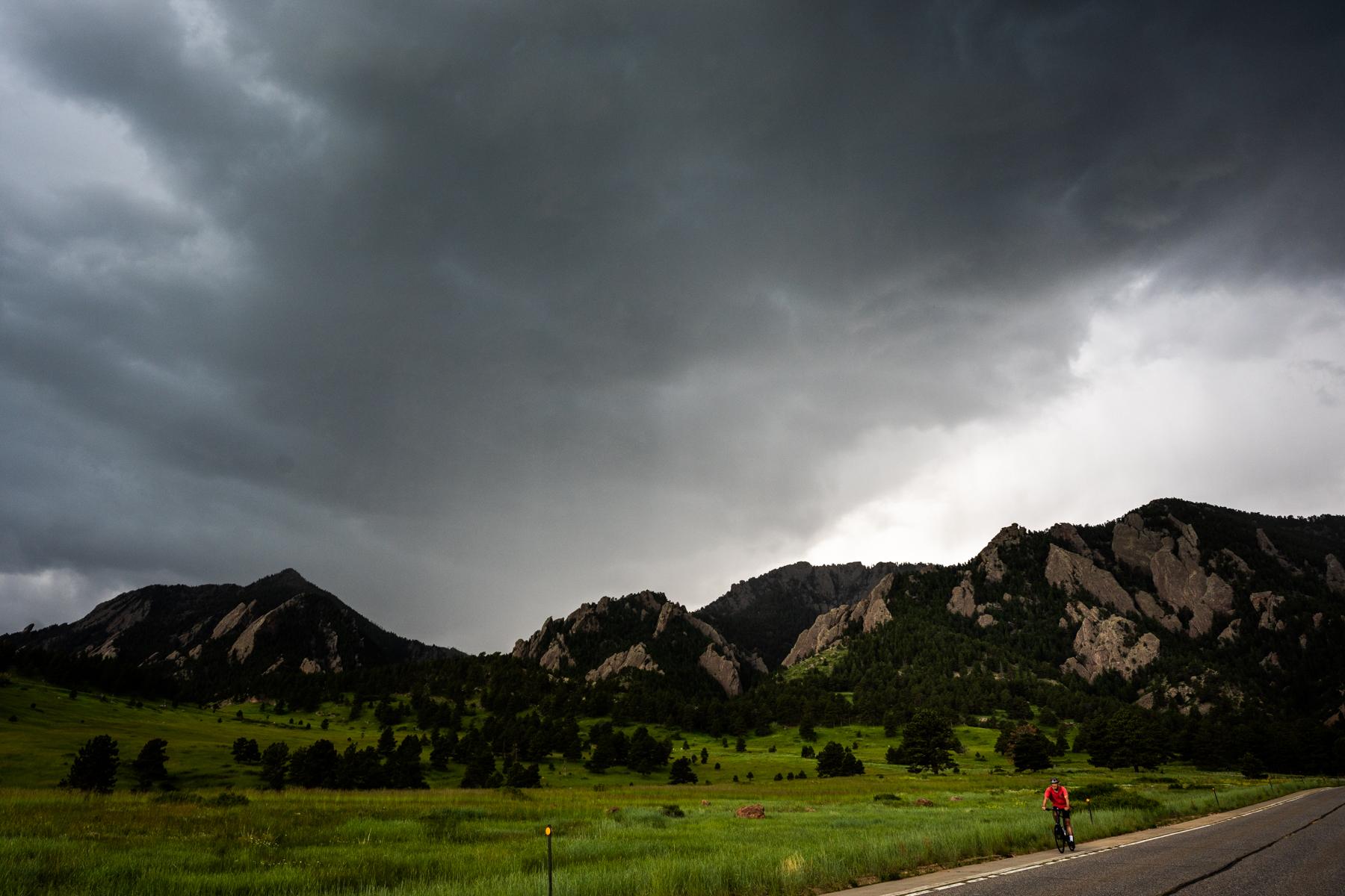
Severe storms are threatening Fourth of July festivities across Colorado from the I-25 corridor to the Eastern Plains.
The National Weather Service in Boulder forecasts numerous showers and thunderstorms over the mountains and plains this afternoon. The storms will be strong to severe, including large hail, heavy rain and flash floods.
NWS Boulder meteorologist Caityln Mensch said the storms will be scattered across the state.
“It is definitely harder to pinpoint exactly where those storms could be. But, I'd say there's just as good of a chance to be in those areas as everywhere else along the urban corridor and plains,” Mensch said.
A large swath of the state is expected to get 1 to 2 inches of rain.
The gathering storm clouds have already affected two local fireworks shows. Just after 9 a.m., Estes Park announced that it has postponed its event and rescheduled for July 15th.
Two hours later,Golden postponed its fireworks show…
Other cities are following suit. Highlands Ranch has postponed its show.
Denver Flights have also been affected by the threat of severe storms. As of 12:21 p.m FlightAware says 74 flights have been delayed and 168 canceled at Denver International Airport.
Southwest Airlines has the most cancellations at DIA with 108 and the most delays with 29.
The Federal Aviation Administration has issued a Ground Delay at Denver International Airport between 2 to 10 p.m.
Flights may be delayed up to two hours and 10 minutes due to thunderstorms in the area.
This is a developing story.