
Colorado’s first major winter storm of the season could drop as much as 6 inches of snow on the Denver metro and other Northeastern Colorado communities over the weekend, according to the latest forecast from the National Weather Service.
Mountain towns above 8,500 ft. are slated to get between 10 to 20 inches. The NWS issued a winter storm warning for Aspen, Rabbit Ears Pass, Rocky Mountain National Park, Summit County and Indian Peaks from Friday afternoon through Sunday. Meanwhile, Winter storm watches have already been declared along the Front Range from Castle Rock to the Wyoming border starting early Saturday morning, and winter advisories are in effect for the Eastern Plains.
A Winter Storm Warning in now in effect for the north central mountains from midnight tonight through noon Sunday. Much of north central and northeast Colorado will see snow Saturday into Sunday. #cowx pic.twitter.com/HbEgXPeQXz
— NWS Boulder (@NWSBoulder) October 27, 2023
“We’re going to do pretty well for the mountains,” said Ayisha Wilkinson, a meteorologist with the NWS. “Then that system will continue to move more easterly and more northerly, and that's when we'll start getting some snow across the plains like Fort Collins, Denver, up to Greeley, those areas. So that begins more or less on Saturday afternoon.”
As the storm moves east, it will likely produce isolated bands of heavier snowfall, which could drop up to 8 inches.
“Figuring out where those bands will be set up is quite difficult, but it’ll be likely somewhere along the Eastern Plains,” Wilkinson said.
Communities farther west and south, including Grand Junction, Colorado Springs and Pueblo, are forecast for under 2 inches of snow. But temperatures will still drop below freezing, according to the NWS.
Trick or Treat with this Halloween weekend forecast? Definitely trick from the weather.
— NWS Pueblo (@NWSPueblo) October 27, 2023
Wintry weather is expected to impact much of southern CO this weekend, with well below seasonal temperatures, and wintry precip. for many across the area.? Bundle up and stay warm! #cowx pic.twitter.com/5af6ogTNvX
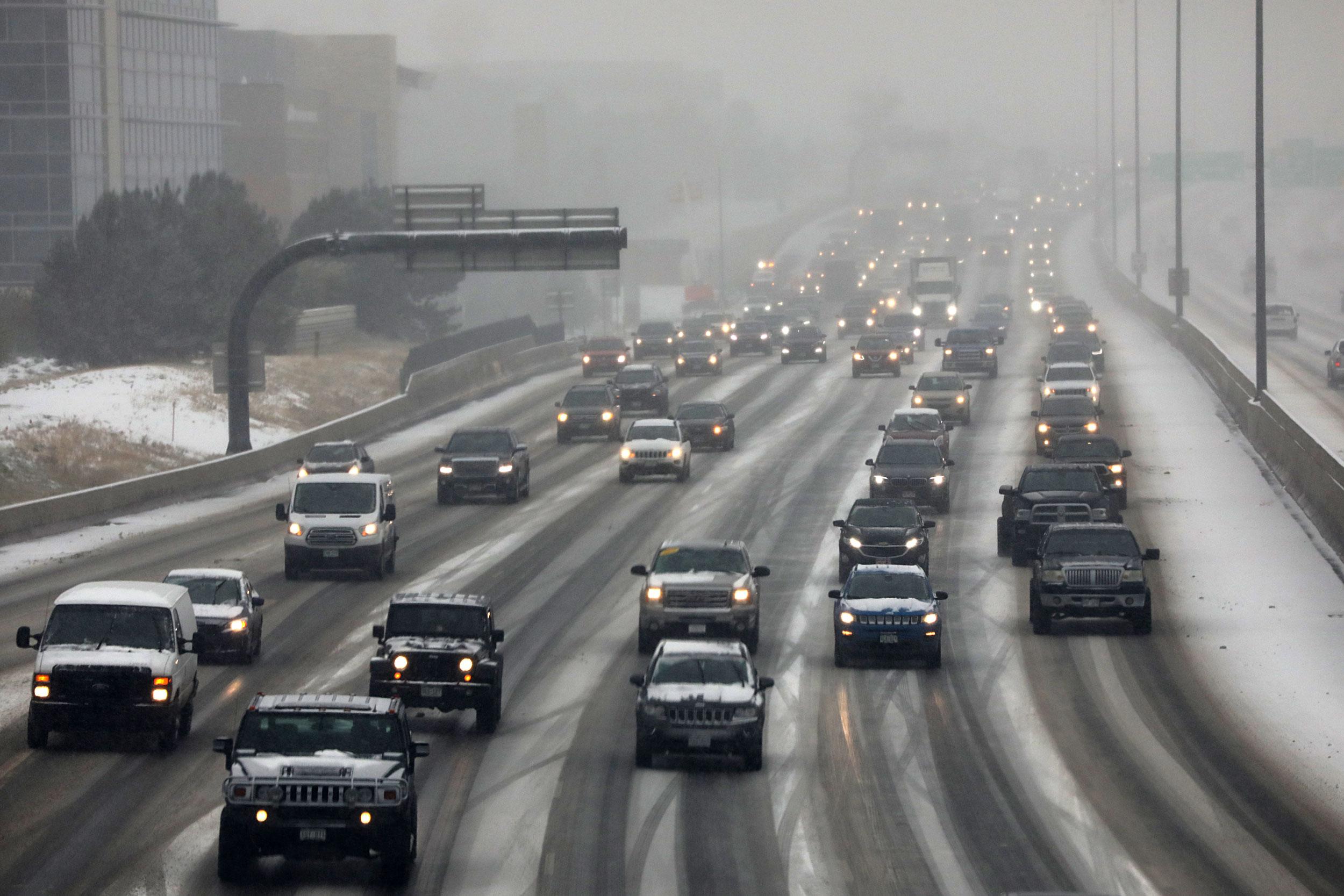
Ahead of the storm, officials warned residents of significant travel impacts. The Colorado Department of Transportation preemptively closed state Highway 82 through Independence Pass on Friday.
Communities along the Front Range, including Denver, Boulder and Colorado Springs will likely see the heaviest snowfall from Saturday afternoon through Sunday morning.
“The Denver Metro Area will have all hands on deck, with full staff and 95 snow plows ready to respond to the storm as winter weather is expected to reach the metro area over the weekend,” CDOT said in a statement.
The agency urged drivers to limit driving during the brunt of the storm. Many areas will see blowing snow, strong winds and ice-packed roads.
Drivers who can’t avoid traveling should check tire pressure and make sure treads are at safe levels to avoid hydroplaning, according to AAA.
Snowfall should let up by Sunday morning, but sub-freezing temperatures will stick around statewide until Monday.