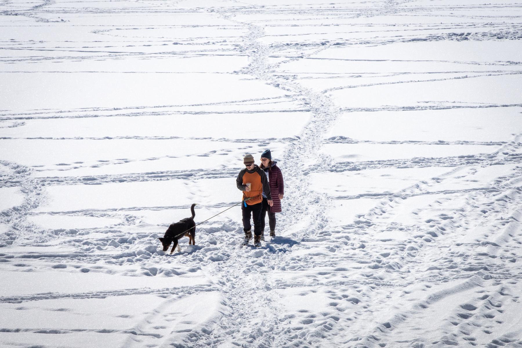
Colorado began to see the impacts Sunday from the same storm system that is dumping several feet of snow in California’s Sierra Nevada mountain range.
National Weather Service meteorologists said the impacts of the storm will mostly be contained in the mountains and on the Western Slope. Road conditions in the mountains are dangerous. Interstate 70 closed at several points Sunday afternoon due to multiple crashes, with U.S. 6 over Loveland Pass still closed in both directions.
NWS meteorologist Bernie Meier said the remnants of the snowstorm currently bringing blizzard conditions to much of northern California will continue to impact Colorado through Monday, but a new storm system is likely to form later this week.
“There's a weak system for Tuesday afternoon [and] evening, and that's again, mainly for the mountains,” Meier said. “We're not looking for much snow with that. Even for the mountains, probably less than three, four inches.”
Over the weekend, the mountains and the Western Slope saw between 2 to 8 inches of snow.
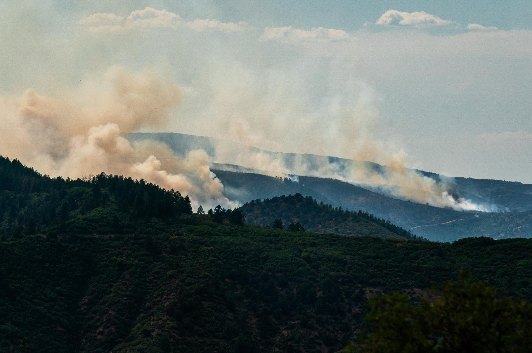
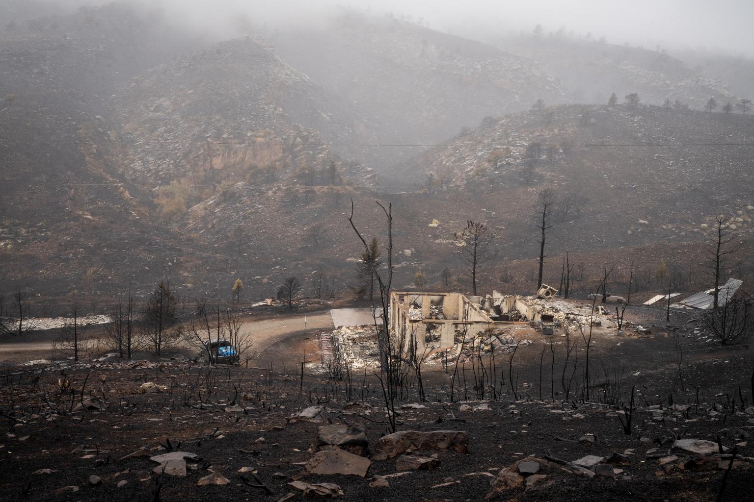
While the Front Range and Eastern Plains had relatively warm weather over the weekend, with high winds that led to critical fire conditions, Meier said the temperatures shouldn’t fool anyone. Spring isn’t quite here yet and the last freeze of the year doesn’t usually happen until mid-May.
“I have a garden and I don't plant those peppers [or] tomatoes” until after Mother’s Day, he said.
A chance of snow may develop for the I-25 urban corridor on Friday, but NWS models aren’t yet clear.