Left Hand Canyon outside Boulder played an historic role in the history of gold mining in Colorado. Besides the precious metal, however, listener J.C. Hart asked Colorado Wonders: How many rare gems are found in the popular canyon?
It’s a fair question anywhere in Colorado. The state’s wealth of gemstones — such as turquoise, garnet and topaz — make it a destination for rockhounding. In some areas, you can pan them from creeks or find them in gravel.
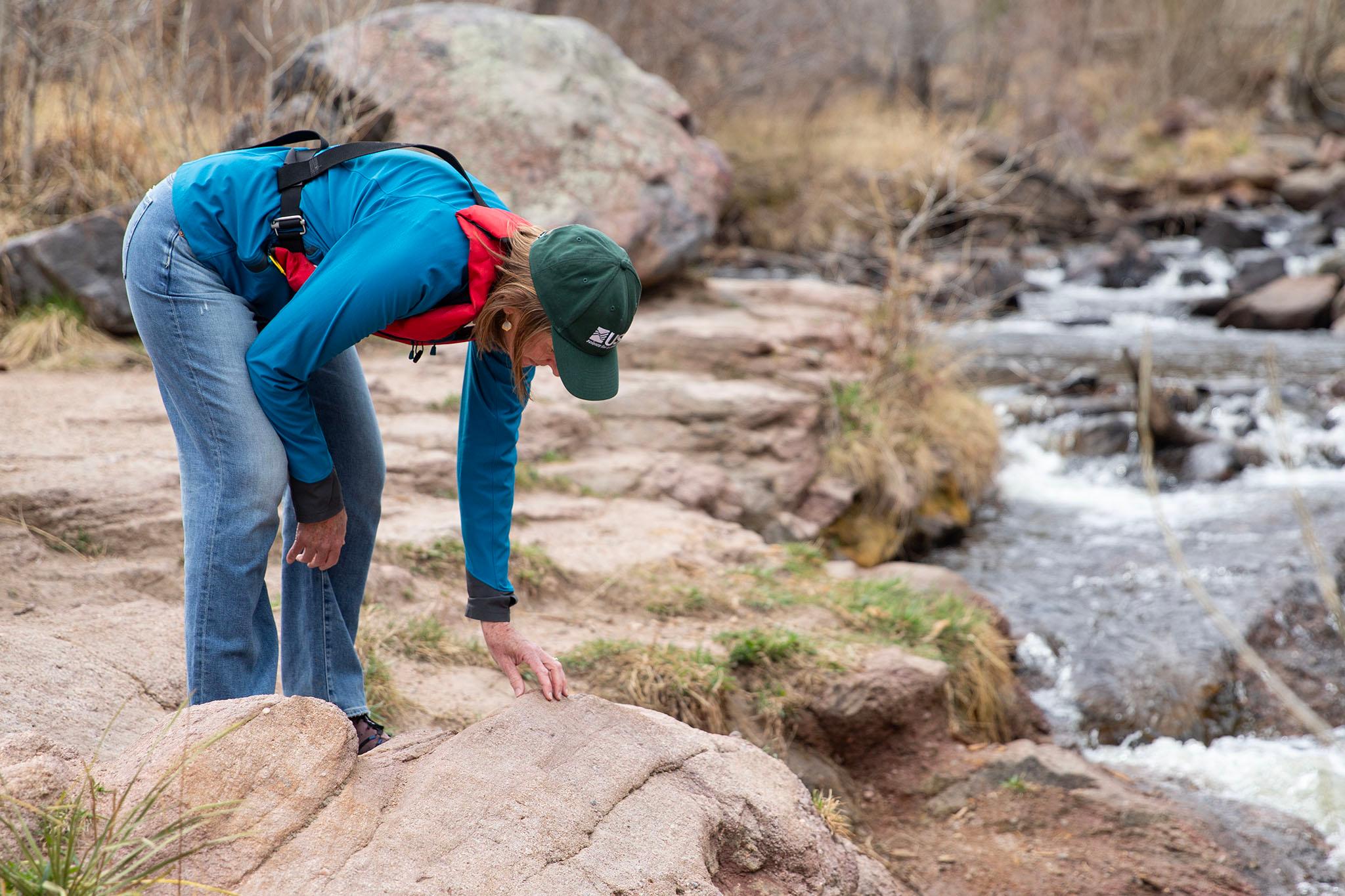
Well-known for biking, fishing and mountain biking, Left Hand Creek runs through the canyon into the foothills. Sheila Murphy, a hydrologist and geologist with the U.S. Geological Survey (USGS), said it’s a great place to observe the ancient history of the Rocky Mountains.
“It's got a billion years of interesting geological history that goes from mountain building — the mountains erode, and form sandstones and other types of sedimentary layers, another mountain building event and then those erode,” Murphy said.
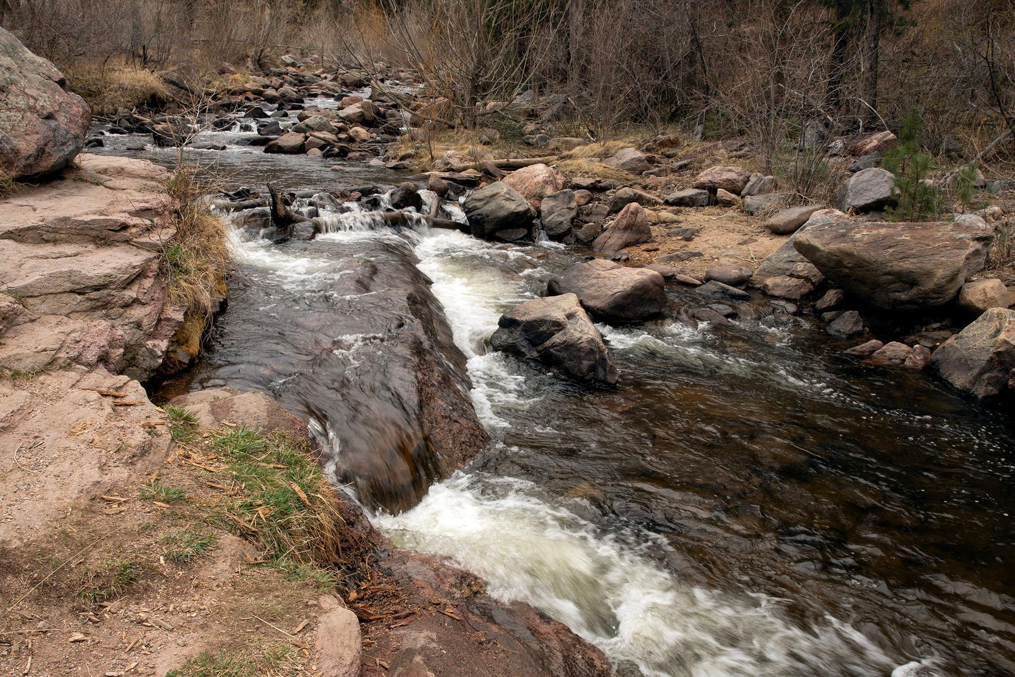
Mountain-building events caused by tectonic shifting and hydrothermal activity underground melted rock and deposited minerals like zinc, copper — and gold.
“It was one of the first places in Colorado where gold had been discovered — just south of here near Gold Hill,” Murphy said. “So that kind of drove the development and settlement from European American settlers in 1859 to explore the gold.”
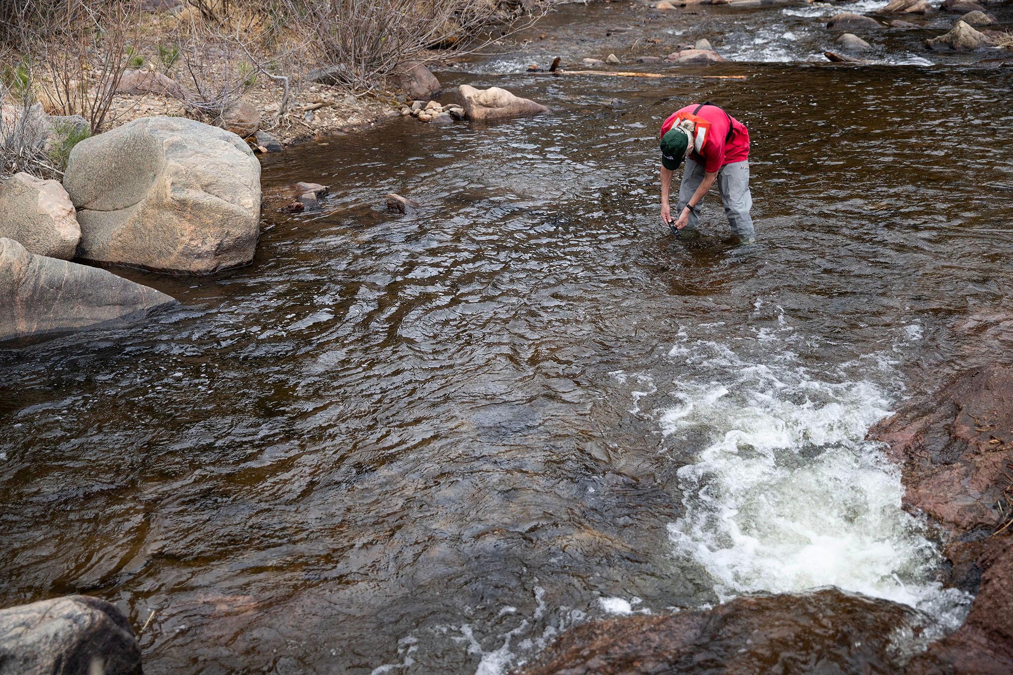
The canyon played a big role during the gold rush. If you’re lucky, you could still find some gold in the stream today. CPR News met Murphy at the Buckingham Park picnic area in the canyon on a warm, sunny spring day. As the wind swept through the cottonwoods, we got in the water to gold pan and see what rocks we could find.
After dipping the plastic screened pan underwater, we brought up a pan of rocks for Murphy to identify and see if any were precious gems.
“Here's some granite ... here's a little piece of quartz … that's silica oxide,” Murphy said.
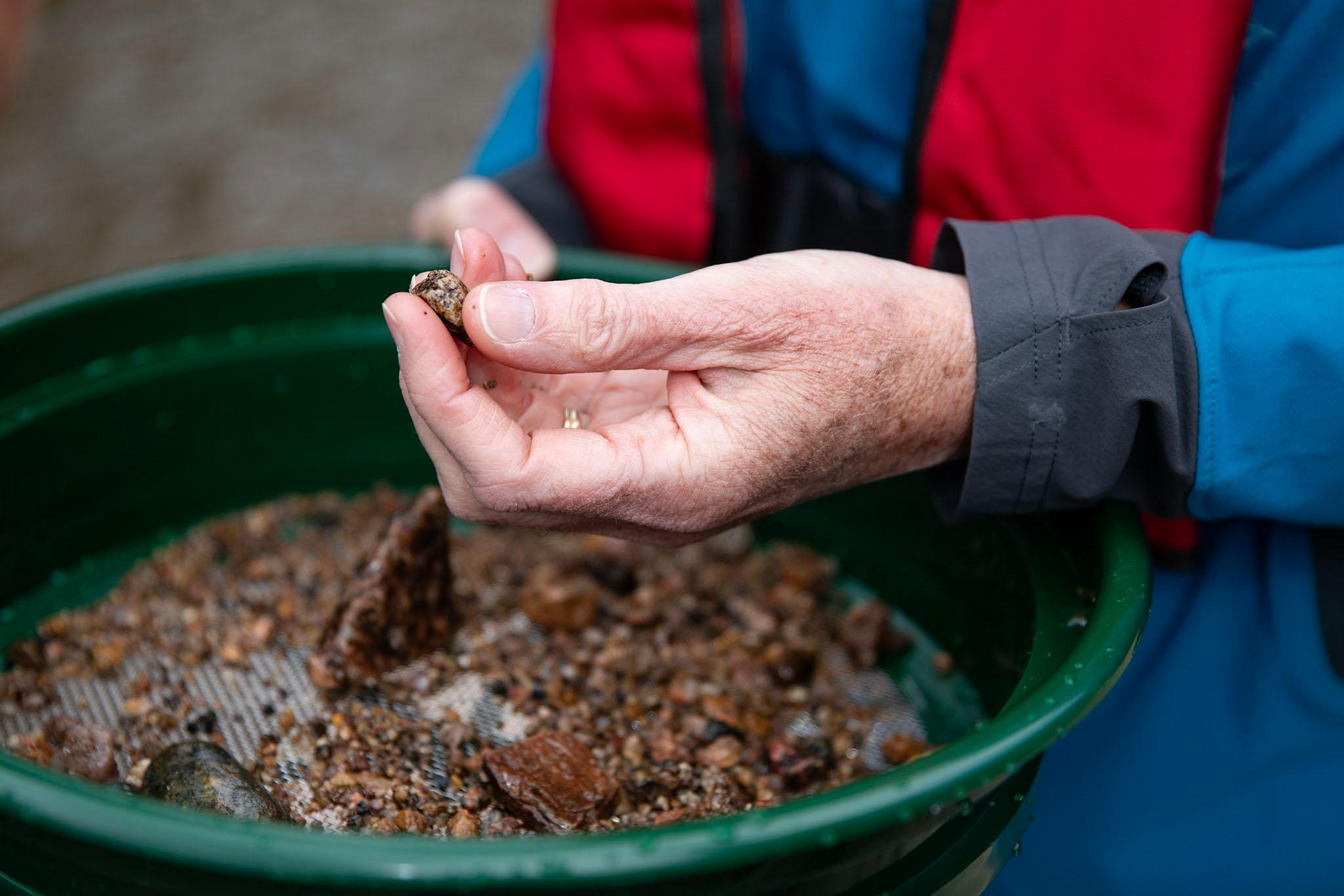
There was also mica, sand from the road, a bit of glass and a smoothed circular granite that had been washed around by the river over thousands of years. “Here's some more quartz. Not exactly a gem, but a lot of people like it because it's pretty,” she said.
But any gemstones?
“I would say no, I'm not seeing any semi-precious stuff here,” Murphy said.
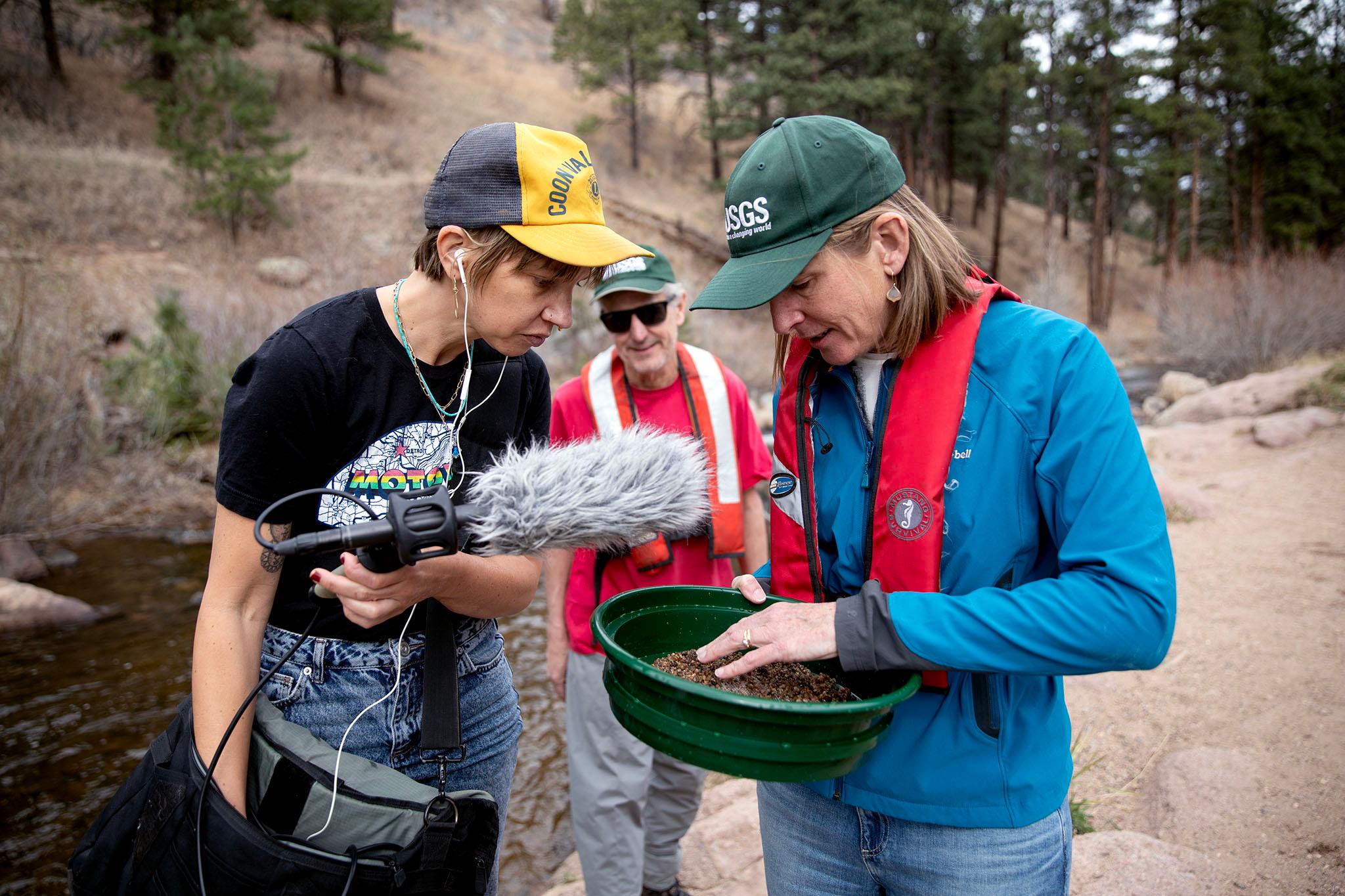
She said you likely wouldn’t. It’s really not the right geology for gemstones — like emeralds, diamonds or sapphires. But it is the right geology for gold.
Gemstones in Colorado are more often found in hardrock igneous areas, or "chimney" areas where magma blasted out from deep underground. Those formations sometimes overlap with gold veins, but gemstones usually appear in different types of rock.
Legacy of gold mining
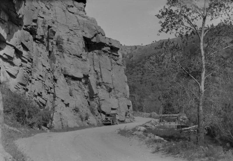
Left Hand Canyon was named after Chief Niwot, which means “left hand,” of the Southern Arapaho tribe, which had a long history in the area prior to the Colorado Gold Rush, which brought white prospectors to the area in droves.
“Left Hand Canyon, right downstream from Gold Hill, was one of the first places where Euro-American prospectors, gold seekers and argonauts came in great numbers,” said Eric Twitty, a historian who assessed the archeology of the site about 14 years ago.
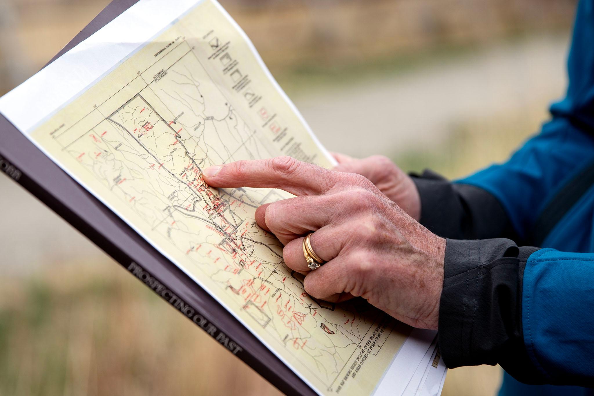
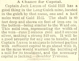
In the 1860s, Twitty said gold panners found some placer gold — gold that occurs from weathering and release of lode deposits — in the stream. But most of it was locked up in underground veins. Those veins necessitated underground mining, which is exactly what happened upstream of Left Hand Canyon, at the Captain Jack Mine, formerly known as the Black Jack Mine.
One of many mines built in the 1800s in the foothills of the Rocky Mountains, miners blasted and dug deep underground to access the gold. But in doing so, they brought up lots of other rock, too, and had to process it to get to the gold.
“It's not like we bring it to the surface and presto, there's the metals that we want,” said Twitty.
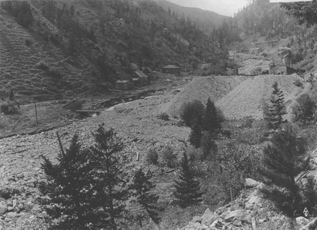
The gold veins contained other minerals like pyrite. As miners processed the rock slurry, the minerals mixed with oxygen and water and created sulfuric acid, which changes water pH levels and can kill plants and aquatic creatures.
The watershed was contaminated with arsenic, lead, cadmium, zinc and copper. The rock refuse, or tailings, were left in piles and leached into the local waterways over time.
Over the decades since the mine closed, the legacy of that mining continued to flow downstream. Left Hand Creek, which is a drinking source for about 20,000 people, was contaminated by acid mine drainage. There were even accounts of horses dying from drinking it.
Ongoing cleanup
In 2003, the Environmental Protection Agency (EPA) declared the Captain Jack Mill site a Superfund site and began a remediation process. Workers piled up the tailings in big piles, buried some of it and removed much of it. They used sodium hydroxide and lime to neutralize the water and remove the dissolved metals as solids.
The EPA and Colorado Department of Public Health and Environment continue to remediate the site, and along with the nonprofit Watershed Center, continuously test the creek water. It’s safe to drink now, but cleanup at Captain Jack Mine is ongoing.
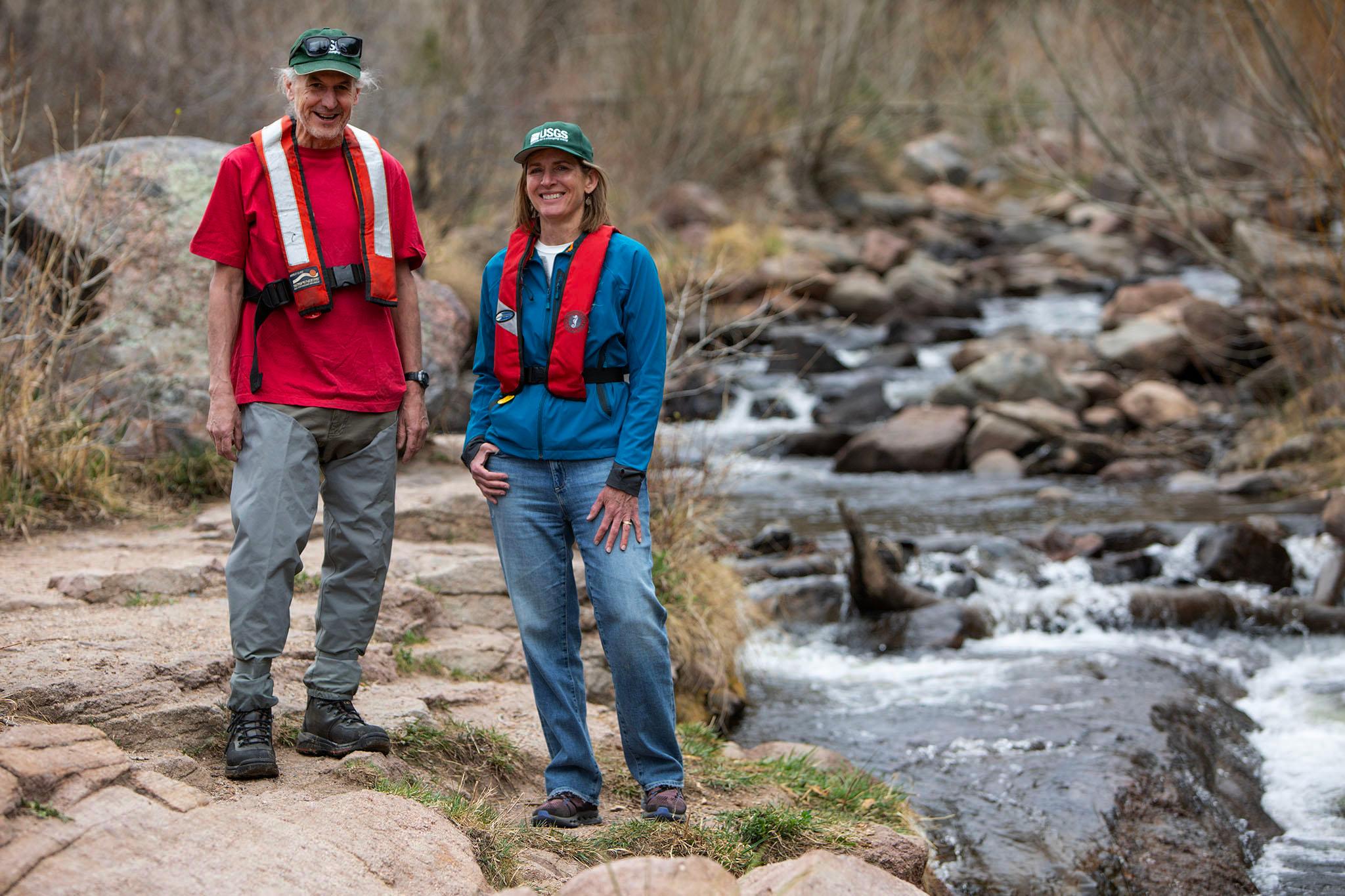
He waded out into the middle of the stream and held it under water for a few minutes, then displayed the numbers on the digital screen: 99 microsiemens per centimeter — a unit of measure for conductivity.
“I think it's probably just calcium, magnesium, just general harmless things that are in the water,” Runkel said.
Left Hand Creek holds no shortage of history, minerals and precious metals, but anyone looking for gemstones might want to start elsewhere.