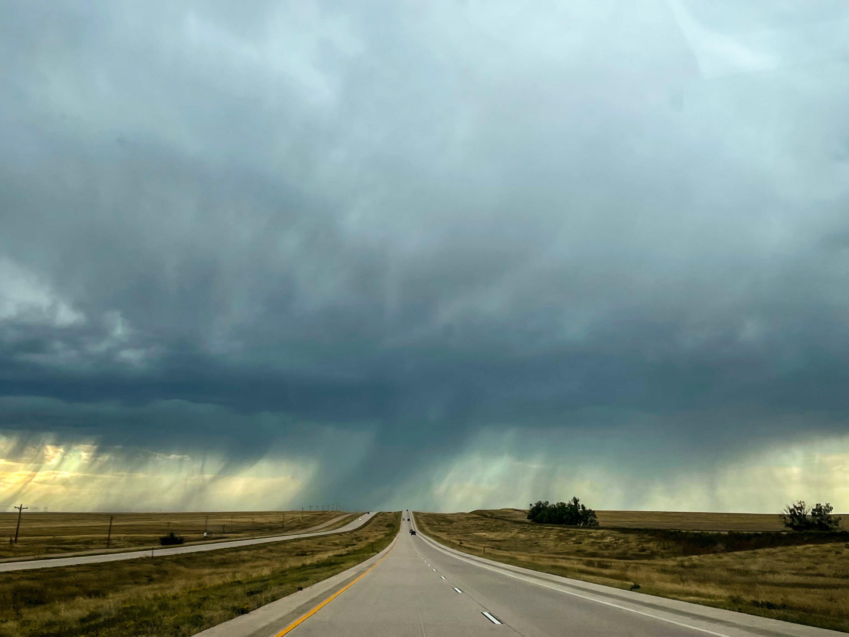
After weeks of scorching, triple-digit temperatures, dry air and explosive wildfire growth, much of Colorado is about to get a major shift in the weather.
According to the National Weather Service, monsoonal summer rains will move into Colorado from Arizona and Utah this week, with the most active storms expected Wednesday and Thursday. Meteorologists warned that parts of the Western Slope Monday afternoon could see rainfall rates that could climb as high as two inches per hour.
“The weather pattern is changing,” said Dave Barjenbruch, a meteorologist with the National Weather Service. “That's the good news if you didn't like all the blazing sunshine and heat.”
While the rain could provide much-needed relief for firefighters battling multiple large wildfires across the state, it also raises the risk of dangerous flash flooding and debris flows, particularly in recently burned areas.
“For some of our freshest burn scars, it won't take more than a quarter to a third of an inch of rain in a very short period of time to cause flash flooding and debris flows off those burn scars,” Barjenbruch said.
And communities in southwestern part of the state have already seen how quickly summer storms can turn dangerous.
In Telluride, heavy afternoon rain over the weekend triggered more than a dozen mudslides along State Highway 145 and in a residential area in the northwest part of town, according to Susan Lilly, public information officer for the San Miguel County Sheriff’s Office.
The slides damaged multiple homes, flooded parts of the community and shut down Highway 145 between Sawpit and Telluride for several hours, bringing down large trees and boulders. At the Palm Theatre, crews found several feet of standing water and thick layers of mud covering the seating area and stage. Nearby, at Telluride Intermediate School, classrooms and hallways were filled with several inches of water and debris.
While the slides did not occur on wildfire burn scars, Lilly said dry conditions across the region can make the impacts of intense rainfall more severe. She said mudslides are not unusual in the area this time of year — the concern is how many occur and how severe they become.
Still, she said officials are concerned about the potential for more frequent and more severe mudslides as additional heavy storms move through the region.
But Telluride is just one example of the challenges Colorado communities could face as the heavy rains move across the state this week. The increase in humidity and rainfall will help improve fire weather conditions, at least in the short term, according to Barjenbruch. While it’s hard to forecast exactly how much rain communities may receive across the state, the wetter storms could slow fire growth and give firefighters better conditions to work in after weeks of hot, dry weather.
“The increase in humidity and what we call wetting rains — or getting an appreciable amount of rain with any thunderstorms — is much increased over what we’ve had over the last week or so in Colorado,” Barjenbruch said.
But the forecast will not completely end Colorado’s wildfire concerns. Temperatures are still expected to be high across the state this week — in the mid 90s. Barjenbruch also says lightning from thunderstorms can spark new fires, and the long-term drought outlook depends on whether this wetter pattern continues beyond the next several days.