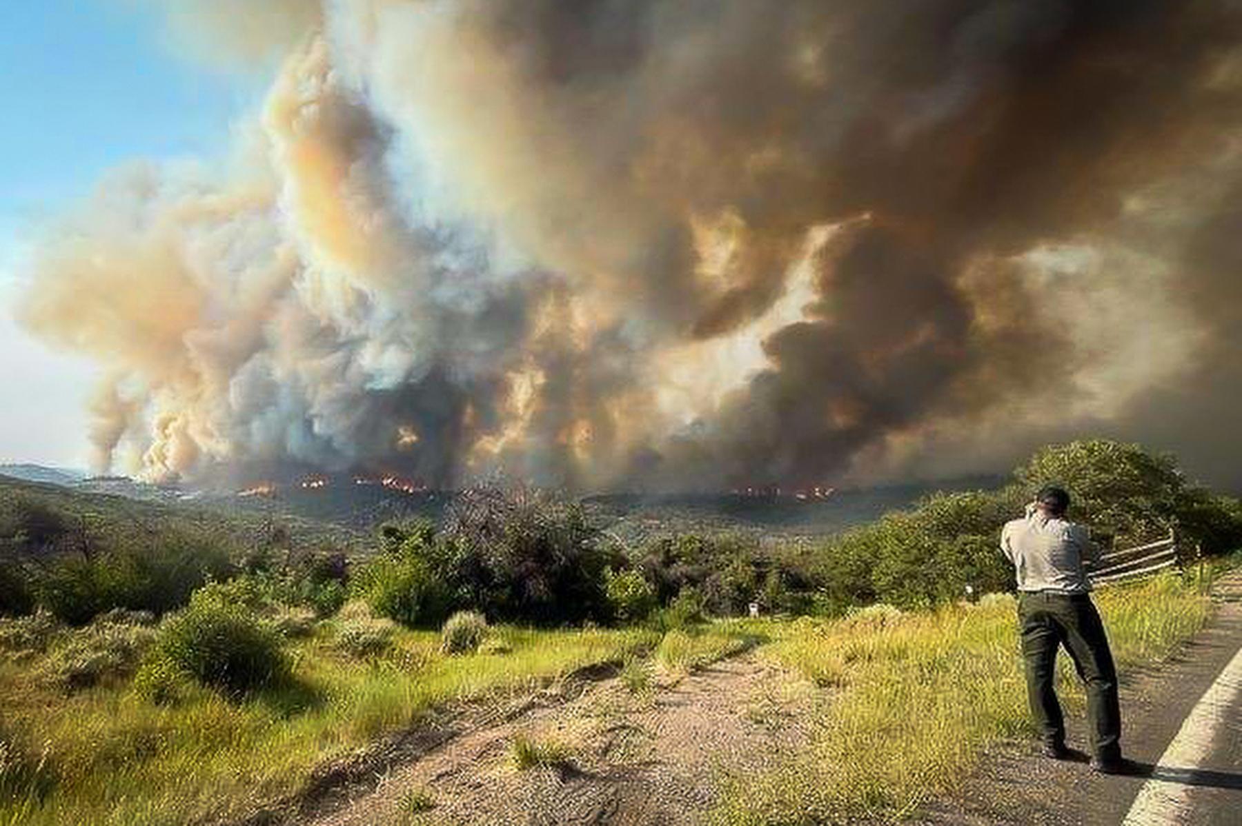
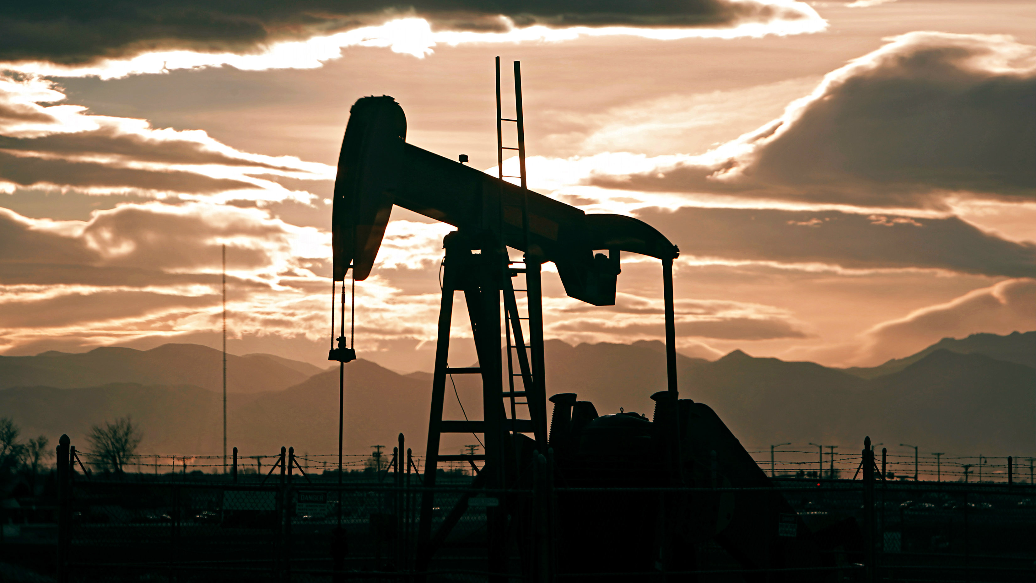
Oil and gas rigs have sprung up around Colorado for years -- everyone knows that. What's harder to pin down is exactly where and when wells were drilled.
Enter the Center for Western Priorities, a non-profit environmental group that says it works to protect land, water and communities in the West. The organization, which bills itself as non-partisan, made these animated maps, below, showing oil and gas wells in three of the busiest energy belts in the state.
It's important to note that these maps show every well, even after it's been abandoned. But Center for Western Priorities Policy Director Greg Zimmerman said it's "absolutely fair" to show abandoned work sites.
"Occasionally there's a well that's drilled and it's dry," Zimmerman said. "But nevertheless the drilling process happened and there's been an impact."


This map shows the 10,722 oil and gas wells that have been drilled around Rifle, Colorado from 1990-2013.

This map shows the 2,023 oil and gas wells that have been drilled around Durango, Colorado from 1990-2013.
The Colorado Oil and Gas Conservation Commission wouldn't vouch for the CWP's map. But it jibes with this CPR-produced map showing every active well in the state: