
Colorado is experiencing a sequel to the hottest new cold-temperature phenomenon — the "bomb cyclone." It's a technical term, and while meteorologists could be understandably a bit tired of answering bomb cyclone questions, the storm that came in in Wednesday is worth thinking about in advance.
The National Weather Service forecasts call for worsening weather through Wednesday followed by more severe conditions at night and overnight into Thursday.
"A normal drive in the morning is forecast to transition to blizzard conditions in many areas through the afternoon and the night," Colorado Department of Transportation Executive Director Shoshana Lew said in a press release Tuesday night. "And then travel on Thursday morning is expected to be tough when it comes to visibility due to blowing snow."
The storm officially hit bomb cyclone status around 1 p.m. MST as the mandatory rapid barometric pressure drop happened once again.
Around 2 p.m., Gov. Jared Polis activated the Colorado National Guard to assist in rescues and help motorists stranded by the winter storm. About 50 soldiers and two dozen specialized vehicles are responding to calls along the Front range.
The Colorado Division of Homeland Security and Emergency Management also created a map of shelters and emergency operation centers along the Front Range.
The storm canceled 752 flights at Denver International Airport as of 5 p.m. United and Southwest grounded all departures for the remainder of the day, and Frontier is operating on a limited schedule. The airport will see up to 7 inches of snow and wind gusts reaching 60 mph Wednesday night.
Channel 13 News shared video of a "gustnado" swirling Pueblo West High School.
THE WIND IS NO JOKE: A huge gustnado passed right by Pueblo West High School this afternoon.
Updates: https://t.co/G4tHgd8oMh pic.twitter.com/sXvuA60dlU
CDOT strongly encouraged people to leave work early as the snow starts to fall. Blizzard conditions and low visibility could lead to a spike in car crashes.
CDOT officials closed a 150-mile stretch of I-76 from just northeast of Denver to the Nebraska state line because of blowing snow.
The high temperature out at DIA today was about 48 degrees — at 8 a.m.
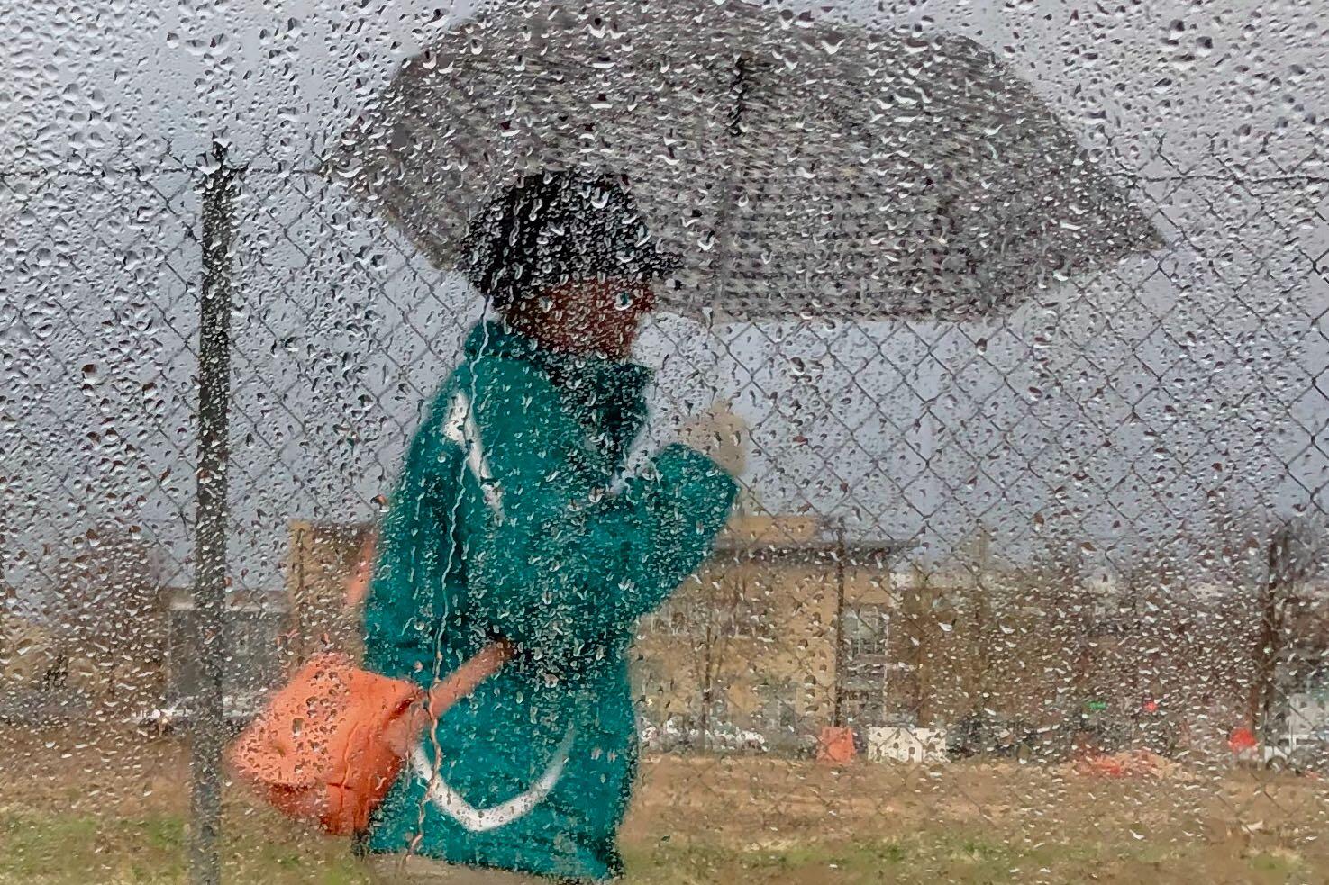
In Colorado Springs, the high of 59 was hit mid-morning, dropping through the day with rain showers earlier in the afternoon and snow showers starting after 5 p.m. Snow likely won't accumulate more than an inch.
Breckenridge got snow in the morning, with winds gusting as high as 40 mph later in the day and a total accumulation of 1 to 3 inches. Snow will continue up through midnight, and temperatures could sink as low as -5 degrees Fahrenheit with wind chill.
"We usually get a winter storm sometime in April," the National Weather Service's Kari Fleegel told South Dakota Public Broadcasting 's Gary Ellenbolt. "However, amounts that we have forecast right now are pretty rare. Some of this might be record territory."
This is a developing story and will be updated.