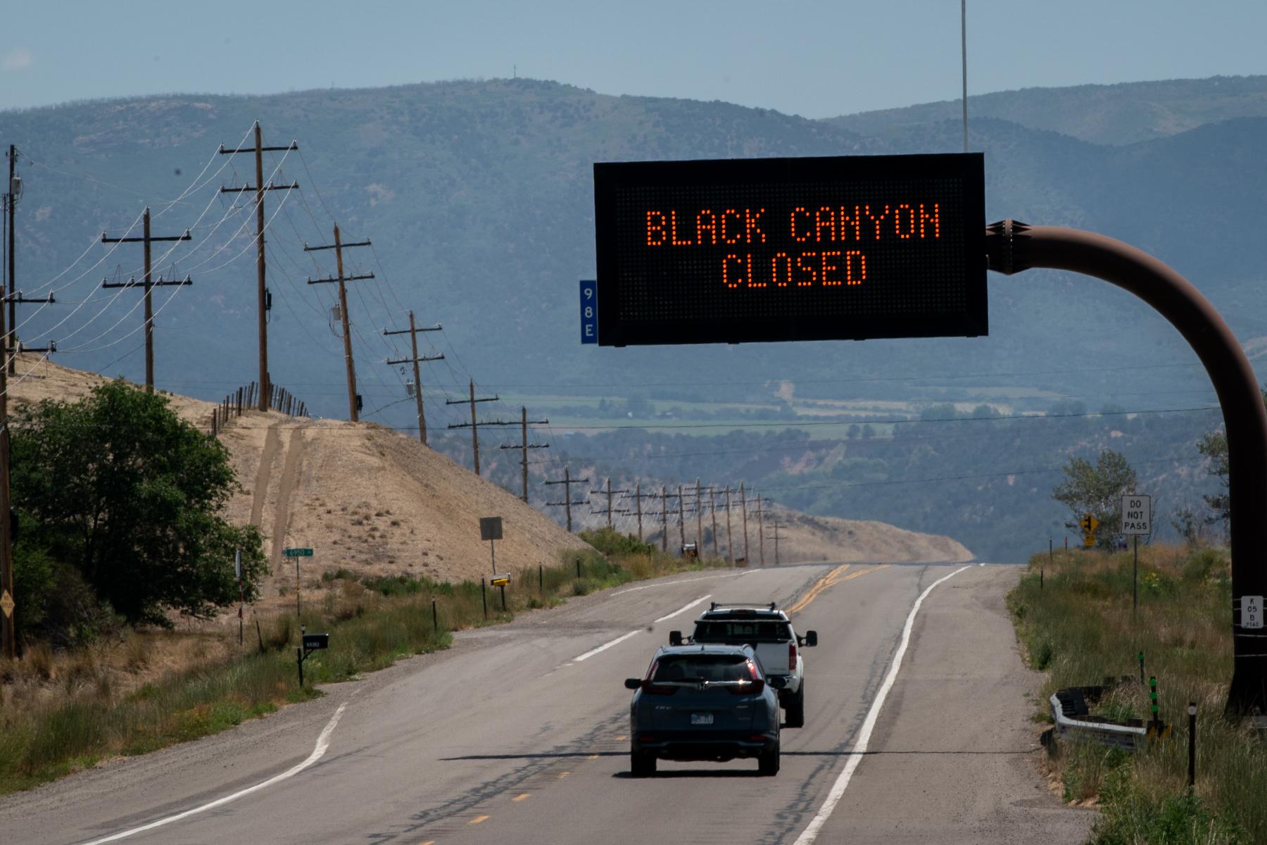
Update at 9:20 a.m. on August 29, 2020: Traffic on I-70 through the canyon is down to one lane in each direction, and CDOT says to "plan for delays." The original story is below.
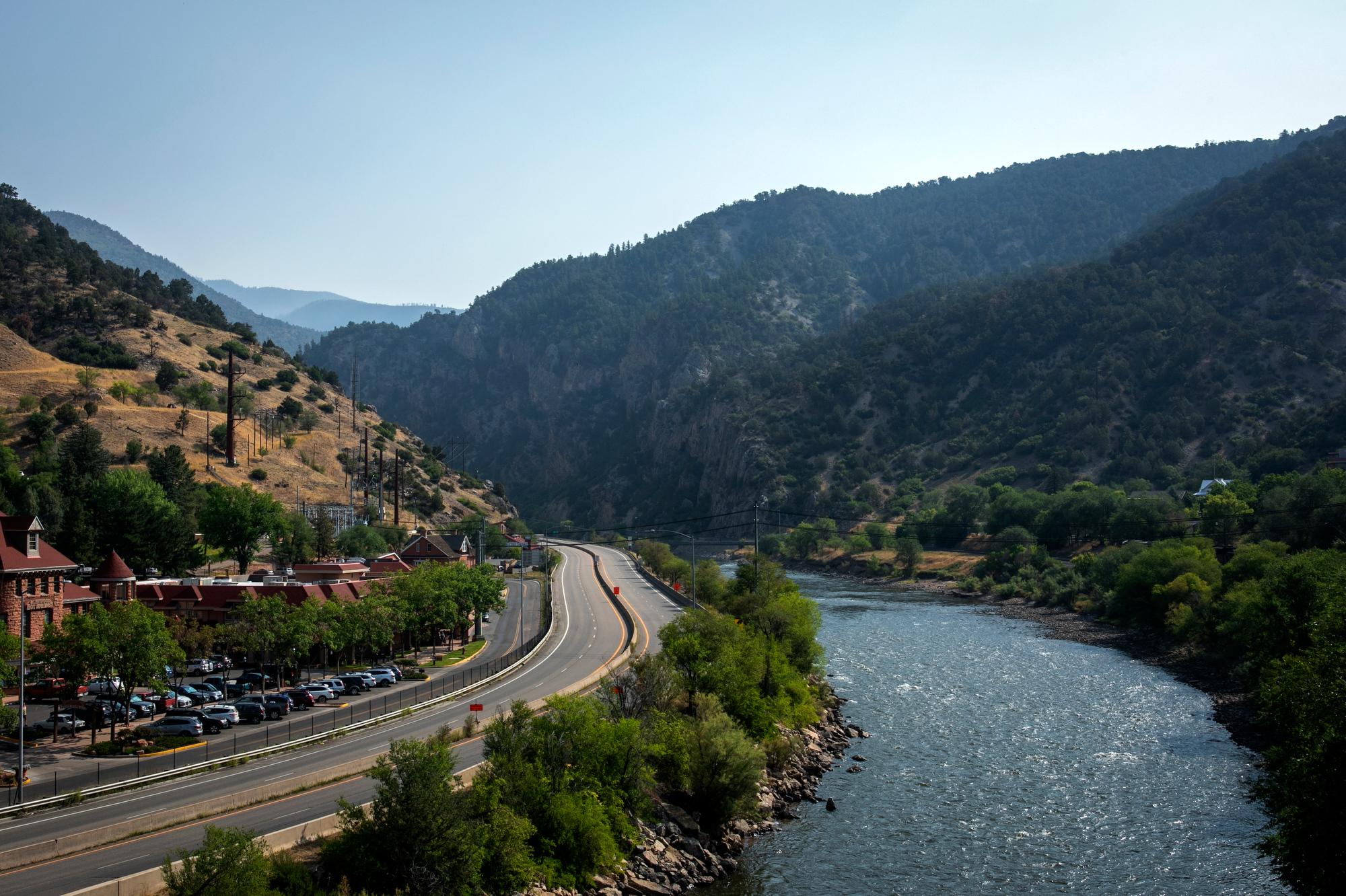
If you plan on driving through Glenwood Canyon anytime soon, be a good Coloradan and make a back-up plan.
Interstate 70 is open again after the Grizzly Creek fire tore through the canyon earlier this month. But that status is tenuous. The fire burned up trees and loosened rocks, so landslides and falling rocks are now far more likely — especially during rainstorms.
And rain is in the forecast.
"We are watching, very closely, the precipitation, when we're going to get that, and at what amounts,” Don Poole, a senior supervisor at CDOT’s Glenwood Springs office, said at a community meeting this week.
The National Weather Service is forecasting brief heavy rains for the Western Slope on Friday and a better chance for stronger storms through the weekend. It won’t take much — just two-tenths of an inch in 15 minutes — to cause problems in Glenwood Canyon, said Jason Kean, a research hydrologist at the U.S. Geological Survey in Golden.
“That amount of rainfall happens in a run-of-the-mill thunderstorm,” he said.
Kean helped develop a detailed map that shows where debris flows are the most likely to occur in the canyon. They used data from previous slides through burn areas — including the 1994 South Canyon fire and the 2002 Coal Seam fire to develop the model this new map is based on, he said.
This burn scar, though, could be more problematic given the importance of Interstate 70 and the canyon’s steep slopes.
“It's hard to imagine a worse spot,” Kean said, adding that Blue Gulch, near the Shoshone power plant, and Cinnamon Creek, near the tunnel, are likely to be two particularly troublesome spots.
When CDOT does make the call to close the road, Poole said, a Colorado State Patrol car will follow the last vehicle through the canyon to make sure it’s empty. The need to evacuate the canyon quickly is one big reason why the bicycle path and rest areas won’t be open for the time being.
"As soon as we determine it's safe to do so, we'll open the bike path and the rest areas up,” Poole said. “But at this point, we can't give a set date or time that that's going to happen.”
CDOT has stationed extra equipment and personnel on both ends of the canyon, in Dotsero and in Glenwood Springs, so they can clear debris as quickly as possible, Poole said.
The USGS will be counting the truckloads of debris that CDOT hauls out, Kean said. Because just as past fires and slides made the current model better, the same cycle will repeat itself now.
“Every time we can learn something from a fire, we try to improve the model,” he said.
The ability to better forecast slides will likely be all the more important as the climate warms. Warmer air can hold more moisture, Kean said. And research suggests that more intense rain could become more frequent.
CDOT recommends motorists use U.S. 50 to the south as a detour because of construction on northern routes. Independence Pass is also open between Aspen and Leadville, but only to passenger vehicles. The agency highly discourages detours on backroads like Cottonwood Pass.