
It’s been a windy and wild weekend in Colorado — especially on the Eastern Plains.
There were nine tornadoes reported on Saturday in northeastern Colorado and the National Weather Services has most of the Front Range and east to the state line under a tornado watch from noon to 8 p.m. Sunday.
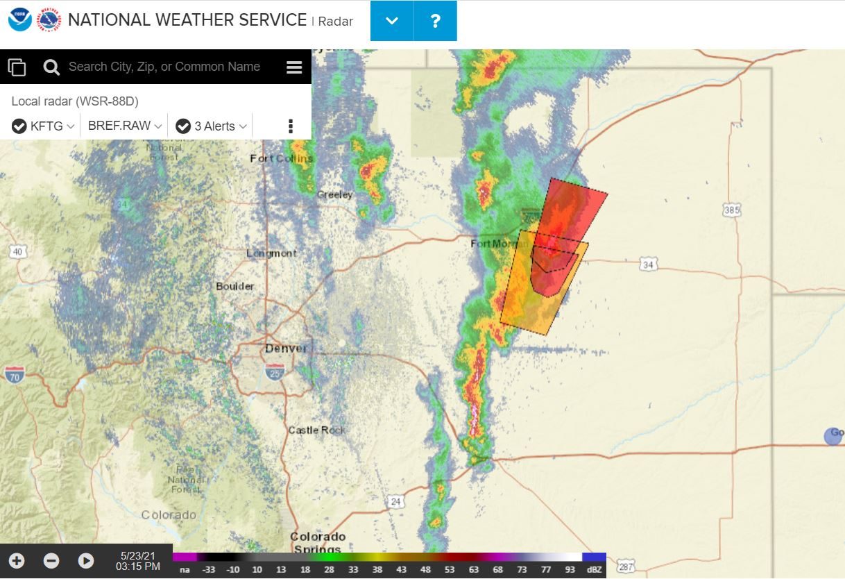
As of 3 p.m. on Sunday, at least three tornadoes had been reported, one just outside of Akron in Washington County.
Meteorologist with the National Weather Service in Boulder Kari Bowen said Sunday’s severe weather is not unusual for this time of year.
“We are looking at another day that is conducive for tornadoes today, along with large hail and damaging winds,” Bowen said.
May, June and July are typically Colorado’s peak months for tornadoes, which form mostly on the Eastern Plains. Bowen said the region sees tornadoes no stronger than an EF3 based on damage and wind speed. An EF3 that is considered “severe” on the tornado strength scale.
“Traditionally we don't see really, really, really large, strong tornadoes, like you might see in movies that take place further across the Plains,” Bowen said. “But our tornadoes can still cause damage, and it can still be life-threatening in certain situations."
Bowen said the National Weather Service was having a busy Sunday with all the severe weather across the state. In addition to tornado watches (when conditions are right for funnels) and warnings (when a tornado is spotted), heavy rain, thunderstorms, hail and gusty winds were hitting along the Front Range and to the east.
As of Sunday afternoon, there have been no reports of damage or injuries from the storms. But Bowen said to be cautious and treat the weather with a level of respect.
“Check the weather before you go out, make sure you understand what you could encounter during the course of your day,” she said. “And have a plan for severe weather, especially if you live in areas that are prone to this type of severe weather, like hail, tornadoes, lightning and things like that.”
According to the Weather Service forecast, the wind should calm down and the storms will move out by Monday and the rest of the week is expected to be sunny and warm.