Updated at 5:32 p.m.
I-70 is restricted for multiple stretches westbound and eastbound. I-70 has shut down at different spots throughout the day. One closure occurred between exit 322 and 316 for traffic going both directions due to a crash. That has been lifted. A second closure due to weather conditions between Exit 190 to Vail Pass Summit occurred twice on Sunday and was still in affect at press time. Expect delays and potential new closures or restrictions.
I-70 Vail Pass is set to close to traffic in both directions at 9 a.m. Monday morning. CDOT says the closure is for avalanche mitigation and will close for about an hour.
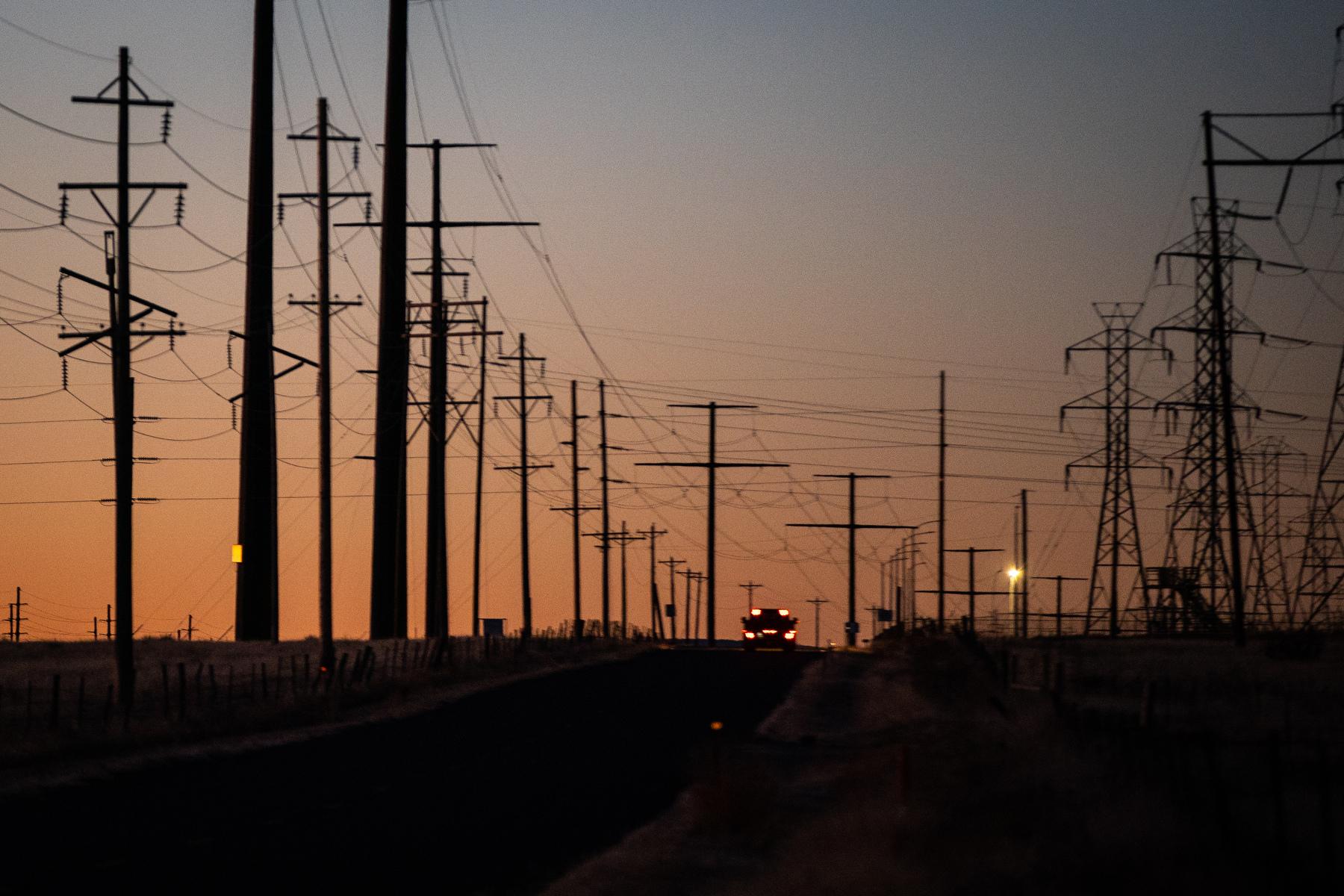
I-25 has seen multiple delays and closures due to accidents, high winds, dust and fires throughout Sunday, including a northbound shutdown due to fire activity between exit 23 and 27.
There are multiple road closures, chain restrictions, weight restrictions and width restrictions on roads around the state.
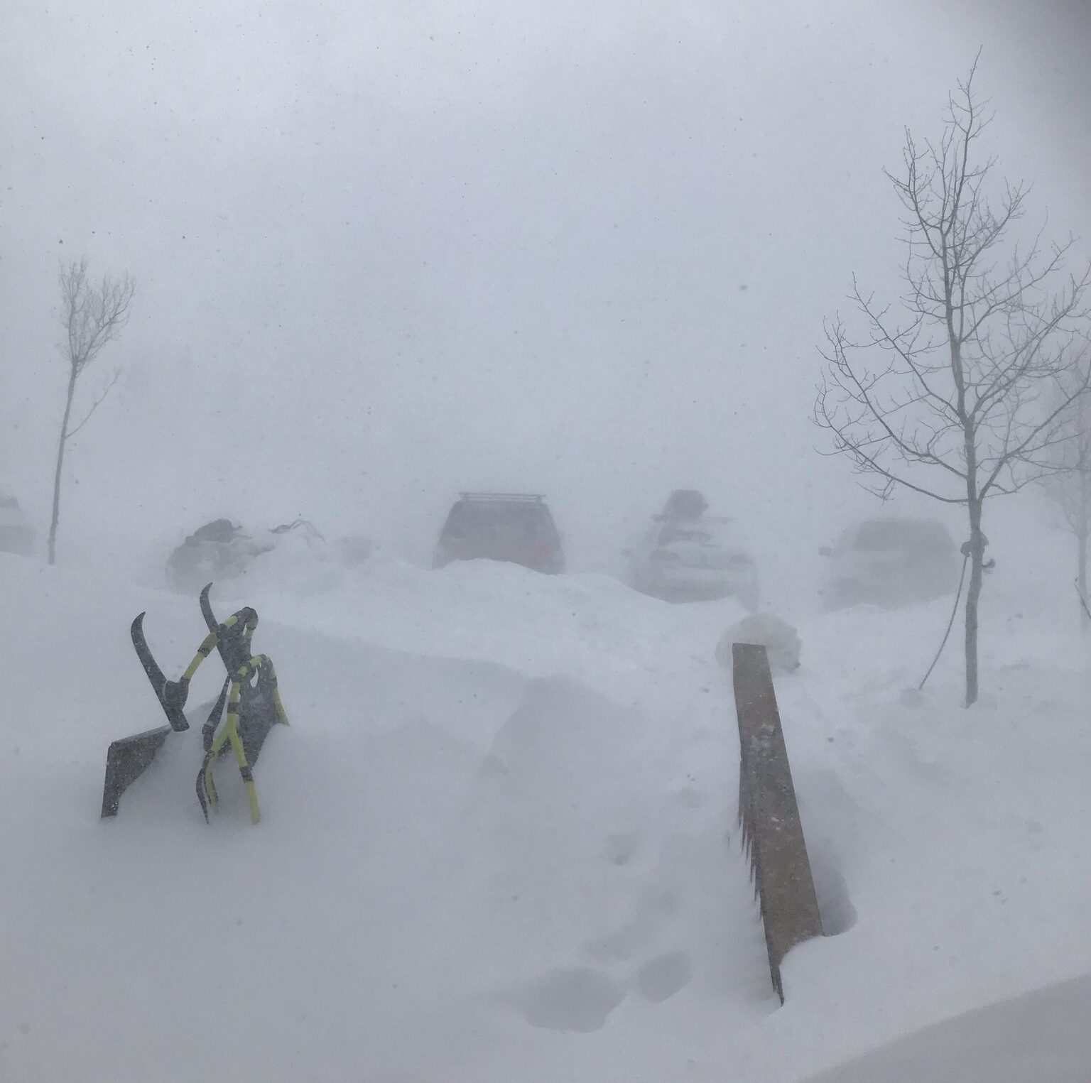
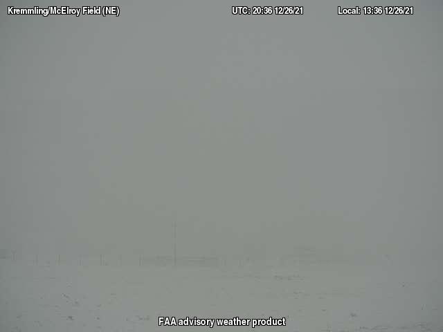
In High Country, expect ice and snowpack with some highways requiring chains to pass through, including I-70. Storm watches are in affect throughout the mountains. Multiple county roads and highways have temporarily closed throughout the day due to weather conditions, including 30 to 40 mph snow squalls. Conditions are still slippery, snowy and windy. Take caution. Expect delays.
In southeastern Colorado, there are high wind warnings and fire warnings from Colorado Springs all the way to the Kansas and New Mexico borders. The gusts and dry conditions are causing extremely low visibility on roads due to dust storms. Expect delays due to accidents, fires and dust. Multiple roadways have temporarily shut down throughout the day, including I-25.
Fire warnings in the southeast, avalanche warnings in the mountains
The entire range of the Colorado weather spectrum has been seen across the state over the Christmas weekend.
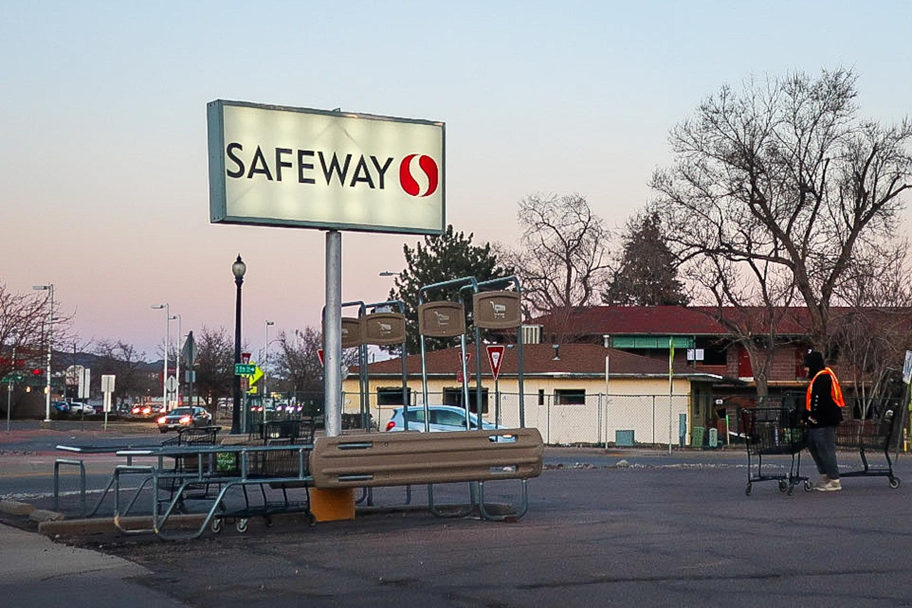
Grand Junction and Mesa County saw ice — a lot of ice — on Christmas Eve. Officials are telling residents to check road and sidewalk conditions before venturing outside.
High Country is experiencing dangerous avalanche conditions thanks to a windy storm on Sunday. According to the Colorado Avalanche Information Center, an Avalanche Warning is in effect for the Steamboat & Flat Tops, Front Range, Vail & Summit County, Aspen, Sawatch Range, Gunnison, North and South San Juan Mountains zones. A backcountry skier was killed in an avalanche on Friday.
"Heavy snow and strong winds have created very dangerous avalanche conditions this weekend. Expect natural and human-triggered wide-breaking avalanches that will run long distances. You can trigger ones large enough to bury you, even from flat areas and low-angled slopes below or adjacent to steeper slopes. Travel in backcountry avalanche terrain is not recommended," the warning said.
Meanwhile, southeastern Colorado will see dangerous fire conditions that will persist until Sunday afternoon. According to the National Weather Service, a Red Flag Warning will be in affect from 11 a.m. to 5 p.m. for El Paso, Pueblo, Huerfano, Las Animas, Crowley, Otero, Kiowa, Bent, Prowers, and Baca counties. This means dry and windy conditions make it more likely for fires to ignite and spread quickly. The weather service says people show avoid any outdoor activities that involve flammable elements such as camp fires or smoking.
A Red Flag Warning also went into affect in the northeastern region of the state. Starting at 2 p.m. (and lasting until 10 p.m.) Sunday, dry air and wind conditions prompted a warning of potentially hazardous fire conditions.