Updated at 8:40 a.m. on Feb. 22
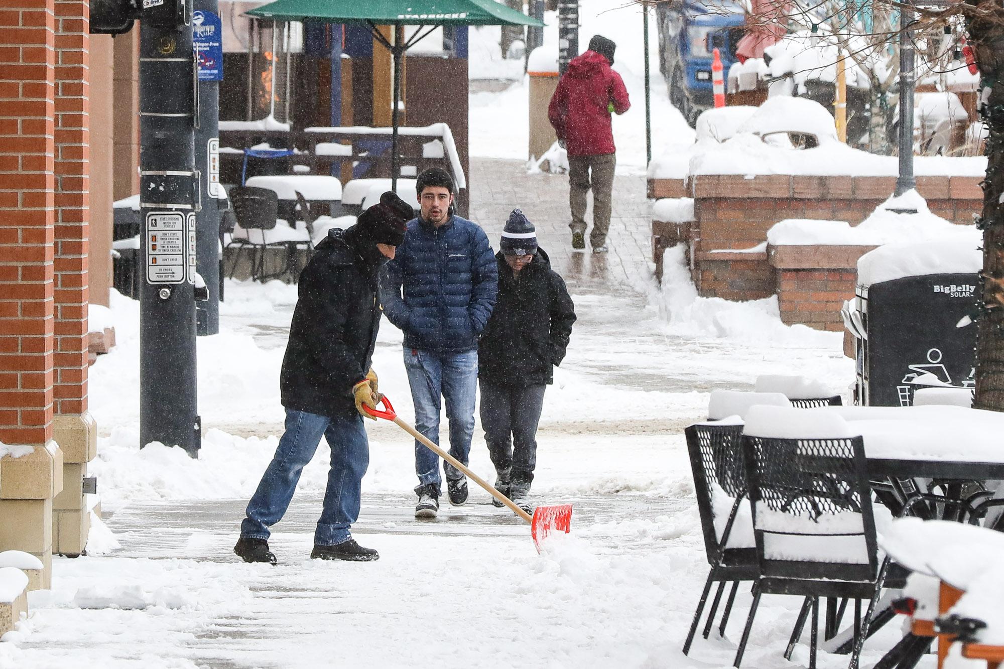
A cold front plunged temperatures in Colorado below zero Monday night, and the state is expected to continue facing subfreezing temperatures through the rest of the week.
Forecasts show the temperature will likely remain in single digits for metro Denver on Tuesday, with the National Weather Service projecting a high of 12 degrees. The Front Range could see some periods of light snow Tuesday morning, but it should amount no more than 1 to 2 inches.
Wind chill advisories are in effect through Wednesday for the eastern half of the state, where it could feel as cold as 25 below zero. People are being warned to dress in layers, as frostbite can set in within a half hour. Those conditions could persist until Friday.
Temperatures in Pueblo are expected to peak around 25 degrees, and people there can expect between 2 and 5 inches of snow Tuesday. Areas around Colorado Springs could see 3 to 8 inches in total. Much of southwestern Colorado is currently under a winter storm warning. Some ski towns, such as Telluride and Aspen, are forecasted to receive up to 18 inches of snow during this week's cold front.
“The big winner of this event is going to be the San Juan Mountains. They’ll probably see another 1 to 3 feet of snow out of this. But the mountains in general down here, across southern and central Colorado, could also see some pretty healthy snow. Maybe 1 to 2 feet, depending on where you are,” said NWS meteorologist Steve Hodanish.
Colorado’s average snowfall for the season recovered after a slow start, thanks to heavy winter storms in January and February. However, the state is still seeing widespread drought conditions. This week's snowfall shouldn't be large enough to impact that.
"Beneficial moisture is on the way, though, and we're grateful to get it," Hodanish said.