Colorado will see lower temperatures across the state as rainstorms pose flash flood risks for Interstates 70 and 25.
Flood watches are in effect Monday for the Front Range, Park County and the Palmer Divide from 1 p.m. until midnight. Weather officials say up to two inches of rain could fall in under 45 minutes along the foothills and in central Colorado.
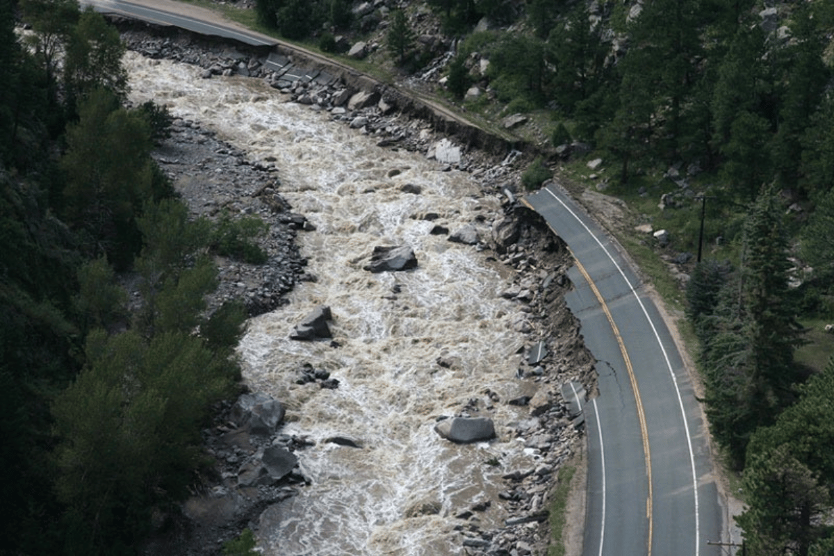
That amount of rain falling in such a small time frame could trigger flash flooding near burn scars, on roads with poor drainage and in low-lying areas. A rainstorm in Denver stranded hundreds of motorists on Interstate 70 last week, likely due to a faulty pump system.
Denver and Boulder were not in the flood watch zone Monday morning, but the National Weather Service said that could change. Both cities have a 70 percent chance of rain this afternoon.
Although the Western Slope will also see rain Monday, weather officials do not believe the region is at risk for flooding.
Temperature across the state will be much cooler than recent days. Denver is expected to see a high of 84 degrees, while mountain communities, like Estes Park, will see highs in the upper 60s and low 70s.
The cooler temperatures will likely bring smaller rainstorms throughout the rest of the week.