A spring storm system will pass over Colorado this week, bringing snow and rain to large swaths of the state.
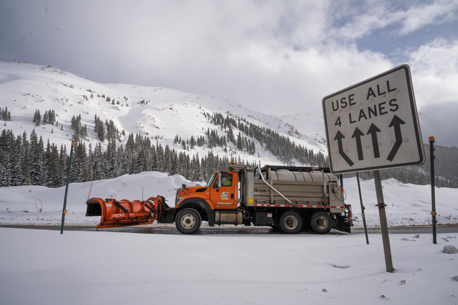
The National Weather Service says the storm system will arrive Monday, with snow and rain showers expected to pick up that evening. While the Front Range is expected to get some amount of rain and snow, the brunt of the storm will hit mountain communities on the I-70 corridor.
“We're looking at potentials of a foot or even two feet of snow. Maybe a little more in a few spots up in some of the higher foothills and Front Range mountains,” said David Barjenbruch, a NWS forecaster.
Rain will pick up in the Denver metro area starting Tuesday, which may result in wet snow in urban areas. Barjenbruch said they’re not sure not sure how snow will pan out along the I-25 corridor.
“We're going to have to watch that one carefully, as it does look like snow levels will probably work their way down to 6,000 feet or even under that, maybe down into the Mile High City, actually, by the time we head into late Tuesday night or Wednesday morning,” he said “So, there is some potential for accumulation down here that we're going to keep a close eye on.”
Grand Junction, Colorado Springs and Pueblo will receive similar weather to Denver. The Eastern Plains is expected to be largely spared from major precipitation.
The storm is expected to weaken on Wednesday, but another system won’t be far behind.
“While all the attention is on this first storm, and of course it's going to be a good spring storm system for us, we do have another one lurking behind that toward Friday,” Barjenbruch said.
Late winter-like conditions aren't rare for springtime in Colorado. The average last day of snowfall is April 28 for the Denver area.
Related stories
- Warming temps are turning snowpack into major flooding problems
- ‘It feels like there’s a lot of death’: Near-record snowpack poses historic challenges to Northwest Colorado wildlife
- PHOTOS: How drought is changing the Colorado River and the lives of the people who depend on it
- Denver’s official weather reports come from DIA. Here’s why — and how you can help complete it