
Wind gusts up to 65 mph are possible Tuesday and could damage trees and power lines in Fort Collins and most areas east of Denver, according to the National Weather Service.
The agency has issued a high wind warning for Larimer County through 6 p.m., but federal forecasters said that could change as a cold front blows through the state. The warning also covers northeast Weld County, Morgan County, and north Elbert County, among others.
Northwest winds will mostly be between 35 and 45 mph in many of those areas, but the weather service warned drivers to be extremely careful while crossing the Eastern Plains, particularly if they are traveling in high-profile vehicles, like semi-trucks. Intense gusts could also whip large amounts of dust into the air, reducing visibility.
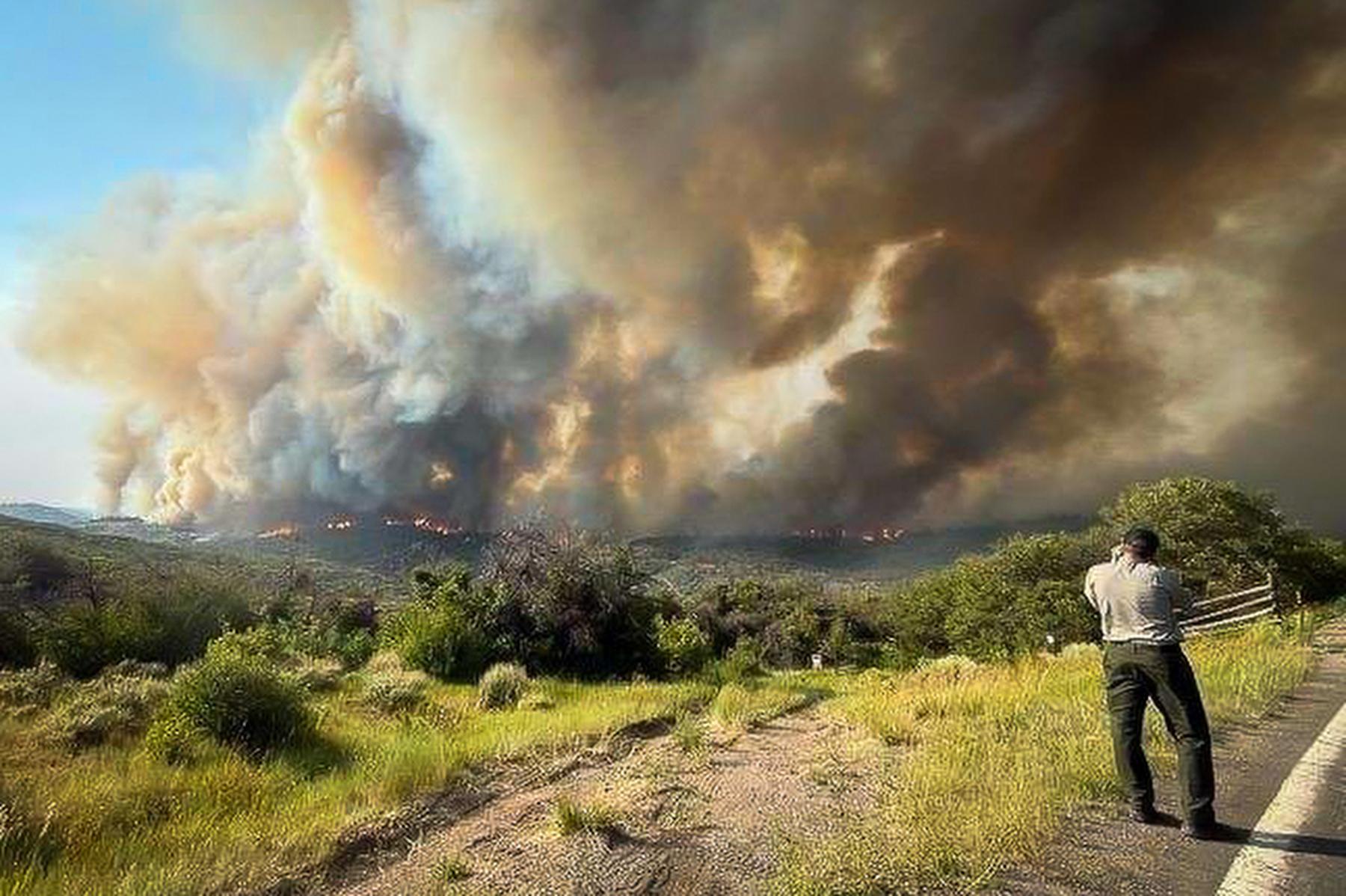
High winds worsen the chances for wildfires to ignite and spread, and the weather service has issued a fire danger alert for El Paso and Otero counties. The Red Flag Warning includes Colorado Springs and Pueblo and is active through 7 p.m. Tuesday.
Warm temperatures and low relative humidity in southern Colorado are also contributing to the wildfire danger.
More snow is possible in Colorado’s high country through this afternoon. Areas between Meeker and Vail, from Aspen north to the Wyoming border, are currently under a Winter Weather Advisory from the weather service. The foothills west of Interstate 25 are under a Winter Storm Warning. Both alerts are set to expire at 3 p.m. Tuesday.
Clear skies are forecast for most areas below 6,000 feet, but scattered showers are expected to begin along I-25 Thursday and last into the weekend, including in Denver and Boulder. Rain could arrive in Colorado Springs and Pueblo on Friday.