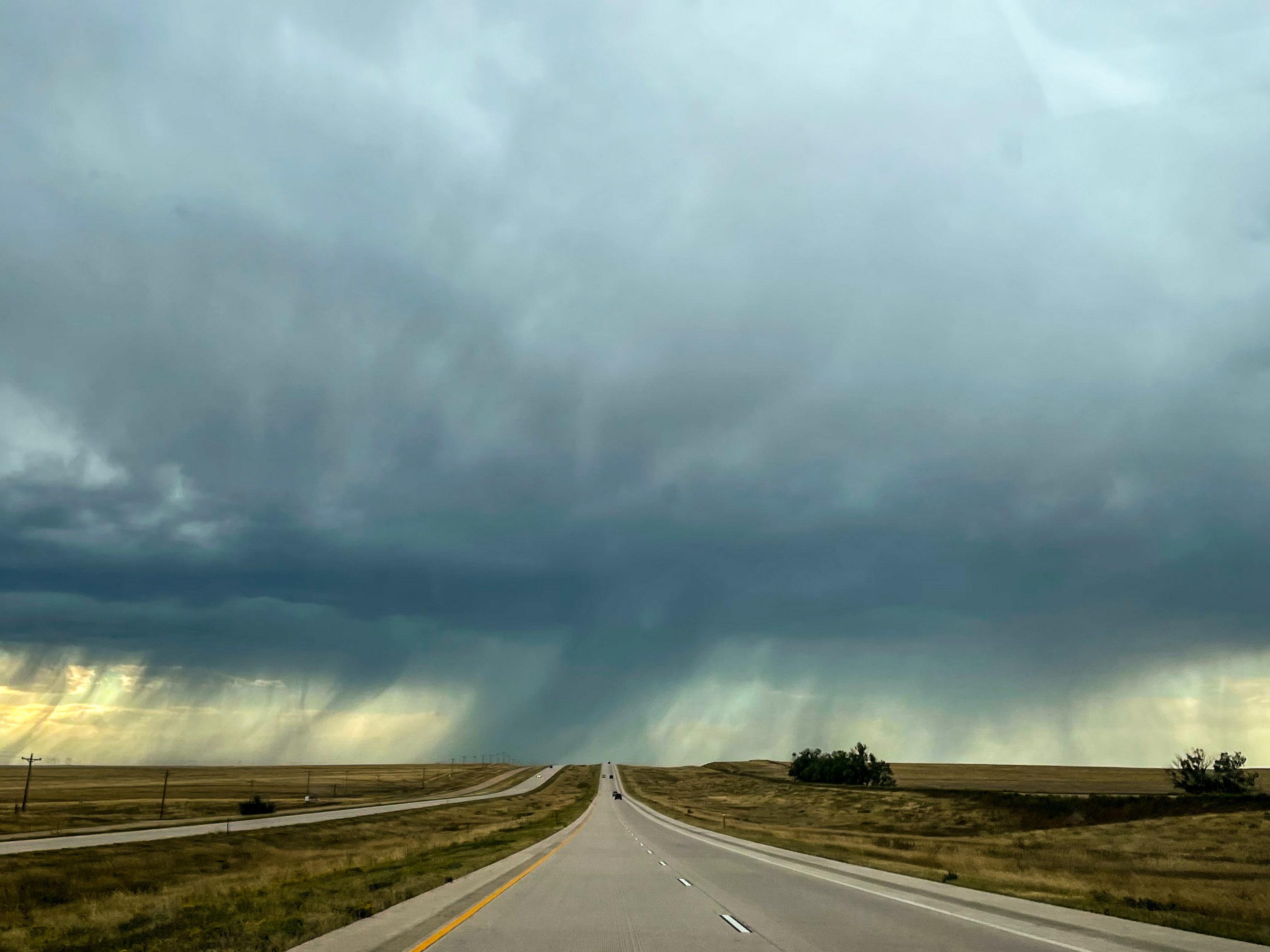
The National Weather Service in Boulder reported thunderstorms and hail along Colorado’s Front Range and across Eastern Plains earlier on Tuesday. It’s now warning the region should brace for more severe weather through the rest of the afternoon.
”Keep an eye on the sky and make sure you have a sturdy shelter to get indoors,” said Jennifer Stark, a meteorologist at the National Weather Service in Boulder.
Thunderstorms rolled through Colorado on Tuesday morning. The National Weather Service issued severe storm warnings for Boulder and Larimer County, which experienced heavy rain and hail during the initial round of severe weather.
Around 2:00 pm, the weather service issued severe thunderstorm warnings for the area around Denver International Airport, including parts of Adams, Denver and Weld counties. Forecasters were also tracking severe weather moving into the Eastern Plains near Fort Lupton.
A NWS alert warned of accumulating hail, torrential rainfall and deadly lightning in Southwestern Cheyenne County.
Those storms could bring quarter-sized hail large enough to damage vehicles. In the event of large hail, the weather service advises moving into a well-built structure and staying away from windows.
“ The good news is that so far the hail hasn't really been that big. It's been up to about an inch in diameter, which is right at that threshold for a severe thunderstorm warning, and a lot of it has been smaller than that,” Stark said.
Severe storms are expected to continue moving east over the next couple of hours before diminishing this evening.