After the holiday weekend brought one of the latest first snows on record for metro Denver, winter storms are finally making their way to Colorado.
“Our next system will arrive Tuesday night into Wednesday,” said Russell Danielson, a meteorologist with the National Weather Service in Boulder. “We are generally expecting about 1-3 inches of snow for the majority of the plains, including the metro, with slightly higher amounts on the Palmer Divide and a bit less in the far northeast corner towards Nebraska.”
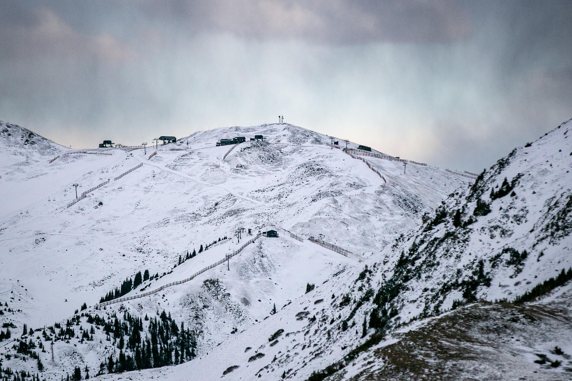
Models from the National Weather Service show the incoming system dropping between three and seven inches of snow in the high country, with the Medicine Bow and Park Range areas seeing the highest totals. The storm, while expected to bring less accumulation to Denver and Boulder, will likely impact midweek driving conditions.
“The Wednesday morning commute, just with the cold conditions, we do expect that snow to accumulate on roadways, and that could lead to hazardous travel conditions in the morning rush hour,” Danielson said. Temperatures are forecast to stay below freezing from Tuesday night through Wednesday night.
Danielson said forecast models have been inconsistent this year as drought conditions linger, but he’s optimistic about the latest system. “A lot of storms have come in, and models are a bit more excited about them producing more snow than they actually do,” he said. “But right now it looks like that 1-3 inch forecast for Denver seems pretty good.”
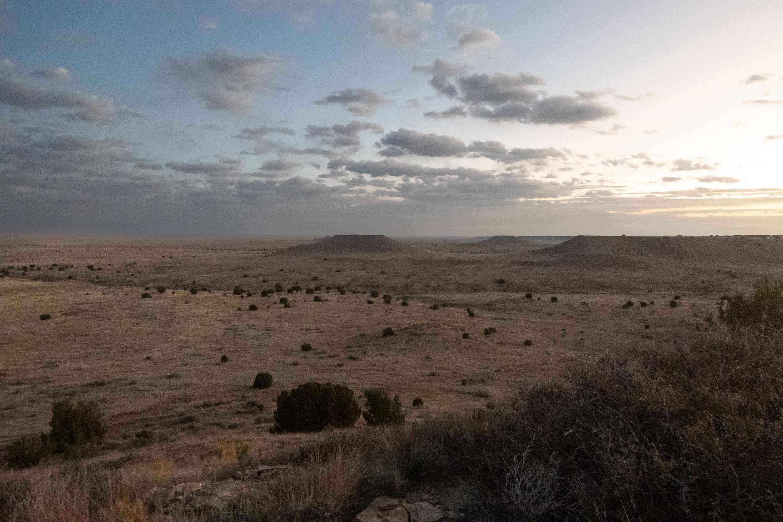
Further north, places like Fort Collins, Greeley and Fort Morgan can expect closer to a trace to two inches of snow as the storm rolls through.
Recent snowfall in the mountains has started to rebuild the state’s snowpack, but Danielson said totals are still below average. “These last two events are helping, and we do have many events coming up,” Danielson said. “None of them are large, but they are consistent, which will help.”
More snow systems are expected through next week, mainly in the high country. “We have this one coming Tuesday night into Wednesday and then kind of a longer-lasting one that arrives early Saturday and lasts through Sunday night, and then another wave potentially bringing more snow on Tuesday of next week,” Danielson said.
The upcoming systems will mostly favor the mountains. “Really not expecting much in the way of snow for lower elevations, including the metro and the rest of the plains,” Danielson said. For Denver, Saturday’s storm marked an unusually late start to winter, coming in as the second-latest first snow on record. Only 2021 was later, when flakes didn’t fall until December 10.