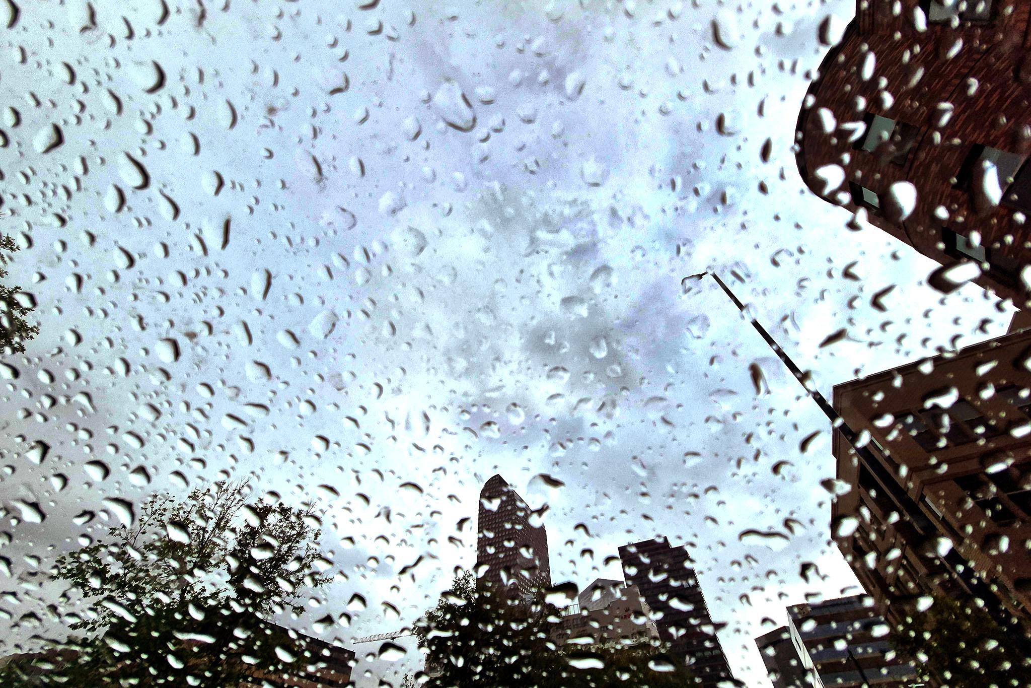
The National Weather Service is forecasting more rain for much of the state through the rest of this week, after months of drought conditions. Some areas in southern Colorado, such as Pueblo, could get up to two inches.
Having a few wet weeks in the spring is normal for Colorado, but it comes after record-breaking warm temperatures parched the state through the winter, leading to exceptionally low snowpack. Most of Colorado is in extreme to exceptional drought, according to the latest U.S. Drought Monitor.
“For some, this could be a million-dollar rain,” said Assistant State Climatologist Peter Goble, with the Colorado Climate Center. “For others, it's a step at least in the right direction. But overall, this is definitely the time of year when this is what we're supposed to be seeing.”
The rain comes as cities and municipalities across the state institute water restrictions and draw down reservoirs to prepare for an expected dry summer.
“Our water reserves are going to take a big hit this year,” said Goble.
Spotty rain is normal in spring
The rainy system started on Sunday, with particularly high totals on the Western Slope and the Steamboat Springs area, which received over an inch of precipitation.
The Denver metro area only got about a quarter inch of rain, while Fort Collins received a third of an inch, and Boulder got nearly a half inch, according to the National Weather Service office in Boulder.
Spotty rain is expected through at least next Wednesday, with totals around a half inch forecast for much of the Front Range, and higher totals on the Eastern Plains. Pikes Peak and the I-70 corridor in the mountains could get six inches to a foot of snow.
“It's abnormally dry,” said Denver7's chief meteorologist Lisa Hidalgo. “I mean, we're talking almost 98% of our total area is dealing with drought right now. So I don't think this is going to help much.”
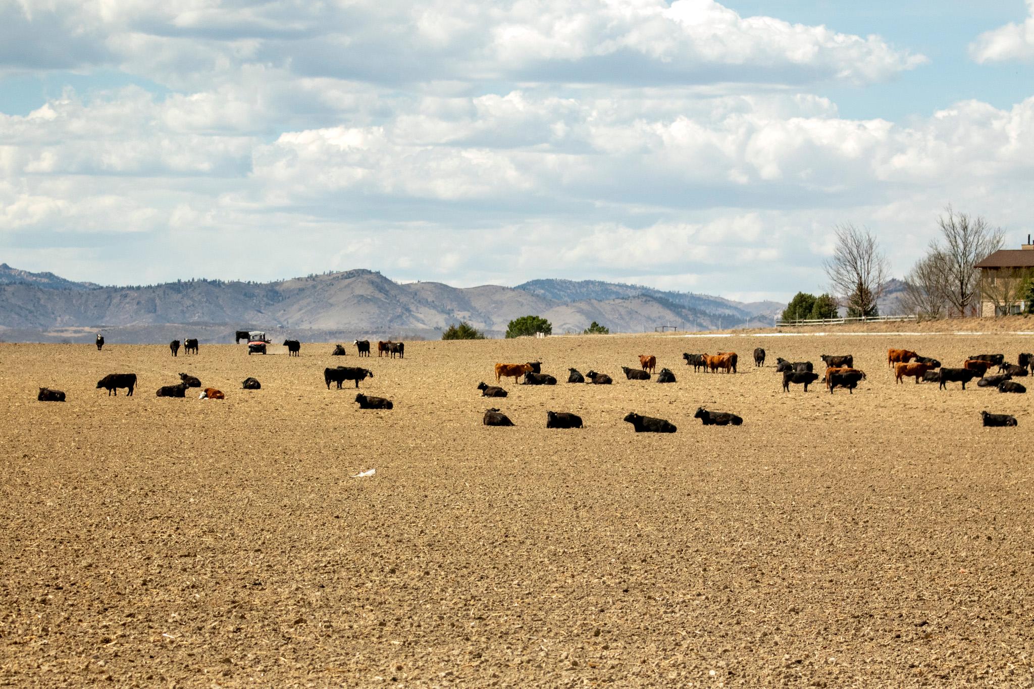
Goble said the current weather system is unlikely to provide any long-lasting drought relief. “There's two ways to really rebuild long-term water supplies, and those are good snow years and devastating floods,” he said.
He hopes for the former, which has historically been a trend in the state. He pointed to the drought of 2018, followed by a big snow year in 2019.
“We're going to more than likely be in a water supply drought, at least through this summer and fall, and then we'll see what happens next snow season,” Goble said.
Hope for El Niño relief in the fall
There’s still some hope that a developing El Niño could bring above-average rainfall during the monsoon season later in the summer and fall.
El Niño is characterized by above-average sea surface temperatures in the Pacific Ocean, which occur every two to seven years, and can potentially lead to increased precipitation in the Southeast.
“All of our major climate models are pointing towards El Niño conditions being in place by this fall,” said Allie Mazurek, a climatologist with the Colorado Climate Center.
According to the National Oceanic and Atmospheric Administration’s Climate Prediction Center, there’s an above-average chance for El Niño to develop around June to August, with a high chance of a “super” El Niño, which could bring even more rain.
“So if we do get those wetter than normal conditions, that would hopefully lead towards drought relief,” Mazurek said, adding that increased rainfall still isn’t guaranteed.
Hidalgo said it would take over a foot of rain to make up for the state’s current deficit. El Niño “could produce some heavier rains in ... July, August, September,” she said.
And if it continues into the winter months, “that would lead to potentially a lot more snow,” she added.