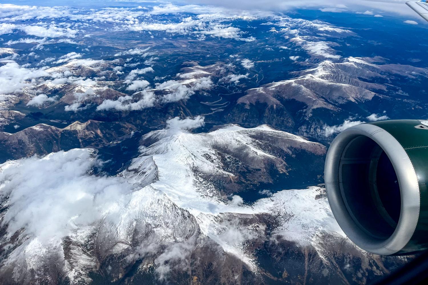
A storm system could dump close to 6 inches of snow in some parts of the high country this weekend. Denver and other cities along the I-25 corridor should avoid most of the winter weather, but the Front Range could get a few leftover flurries Sunday night.
Following a warm and dry Friday and Saturday, most mountain towns will see at least a few inches start to accumulate Sunday, according to the National Weather Service. The NWS projections are subject to change, but its latest forecast shows Vail and Telluride will be hit hardest.
Steamboat Springs and the surrounding areas are slated to receive around 3 inches of snow. The NWS is urging residents and travelers in the mountains to prepare for winter-like conditions through Monday.
There’s about a 40 percent chance the Denver metro will see snow showers Sunday night, said Jim Kalina, a forecaster with the NWS in Boulder.
“If we do manage to get at least a 10th of an inch of snow, that would be the first measurable fall for the season,” Kalina said.
Denver has historically reported its first measurable snowfall sometime around Halloween. But last year, flakes didn’t accumulate until December, challenging modern records.
Parts of Southern Colorado could see some impacts from the winter storm. After a warm and dry start to the weekend, there’s a 30 percent chance of rain and snow showers starting Sunday evening in Colorado Springs and Pueblo.
This weekend’s showers likely won’t move the needle much on drought conditions across the state. Most of the Front Range and Western portion of the state are still abnormally dry.
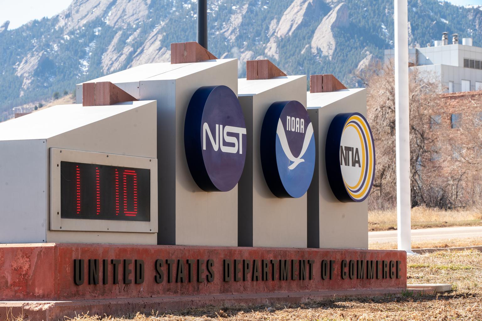
Those conditions will likely continue through this winter. That’s due in part to the third consecutive return of La Niña, according to the National Oceanic and Atmospheric Administration.
“The greatest changes for drier-than-average conditions are forecast in portions of California, the Southwest, the southern Rockies, Gulf Coast and much of the Southeast,” according to the agency’s latest winter outlook, which came out this week.
A cold front is expected to send temperatures tumbling next week. Highs in Denver and Colorado Springs are expected to park in the 50s starting Monday. The same goes for Grand Junction and the bulk of the Western Slope.
Once this weekend’s snow storm passes, Vail and other mountain communities will see highs in the 30s and 40s through next week.